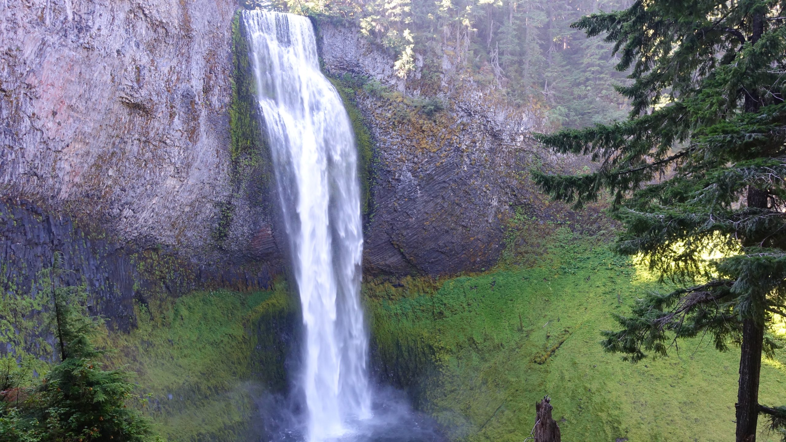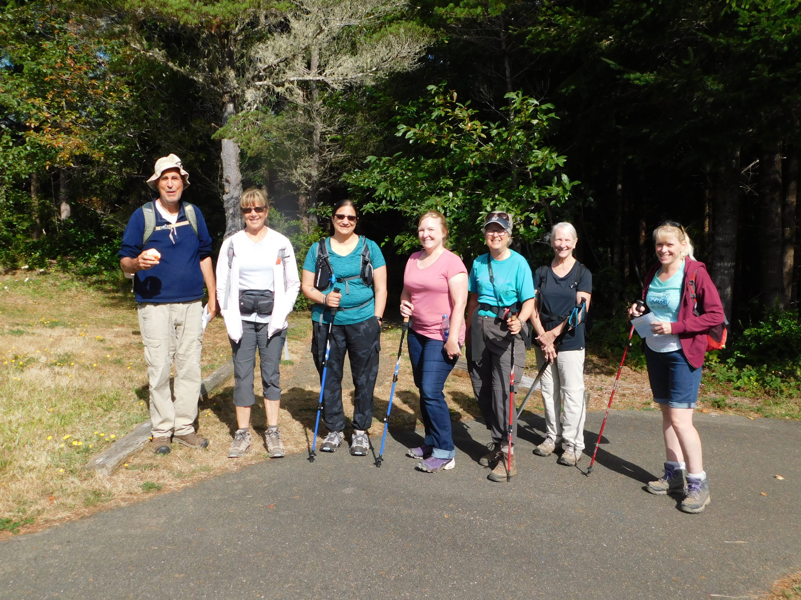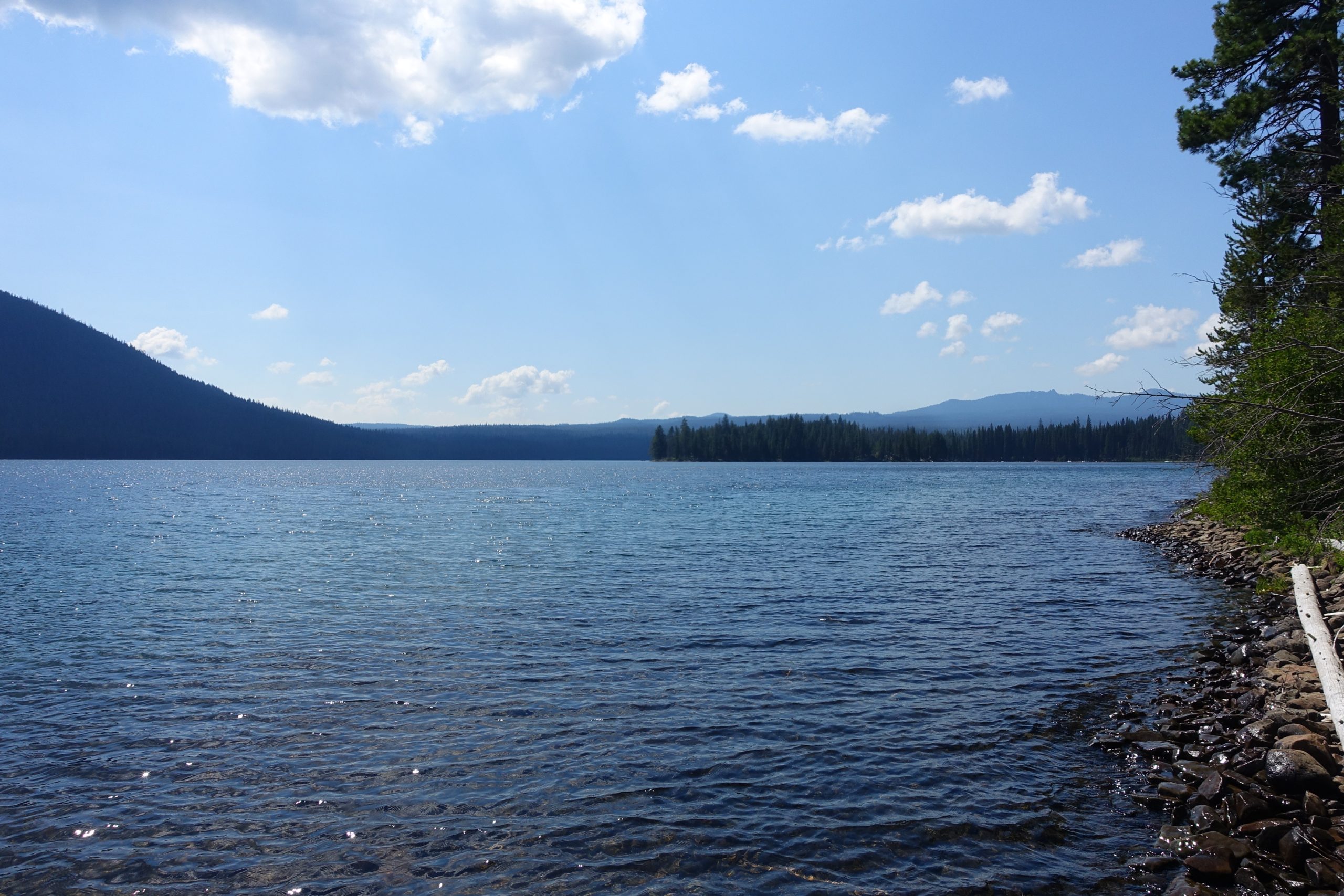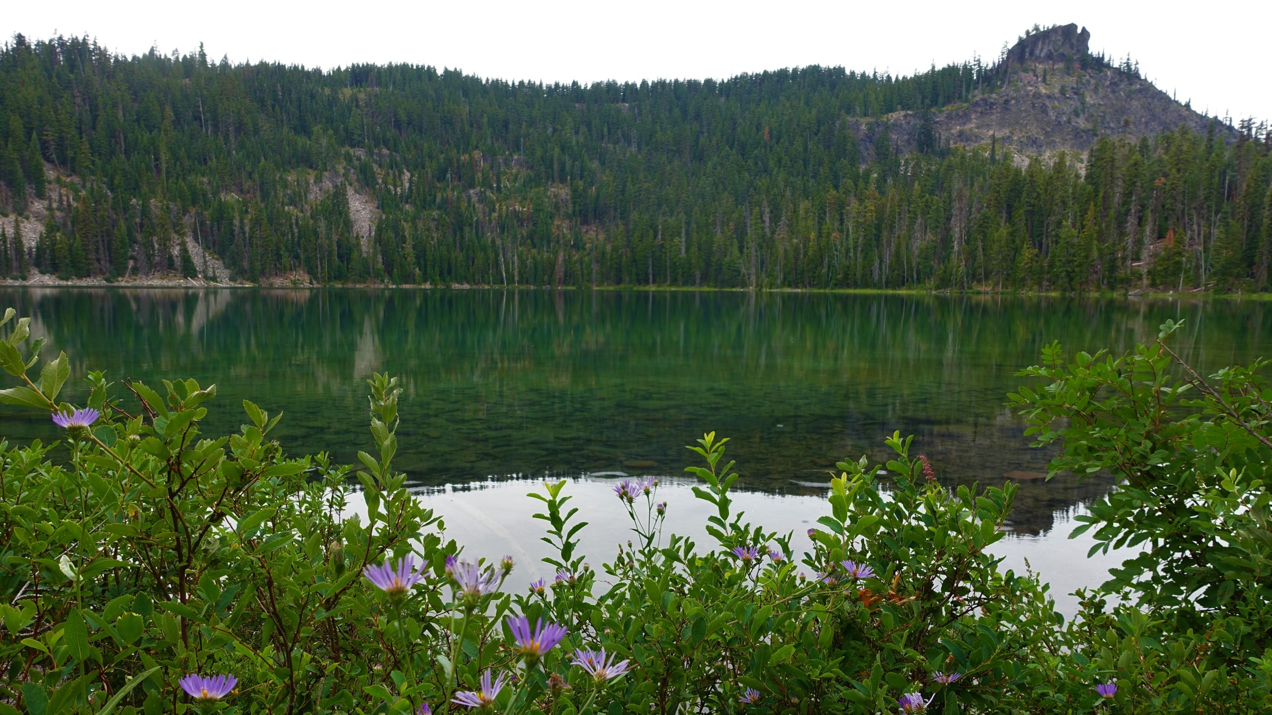
Lemolo Lake – September 3, 2022
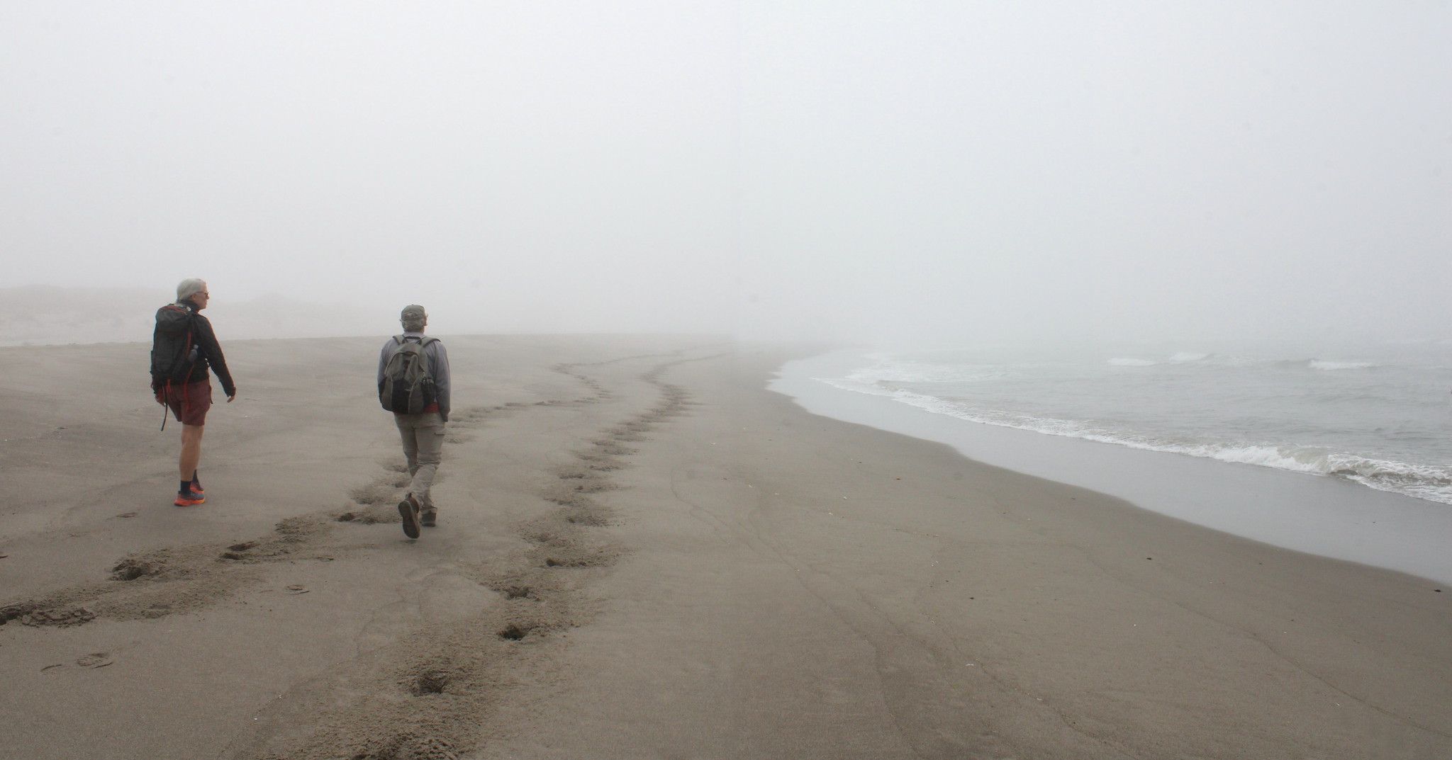
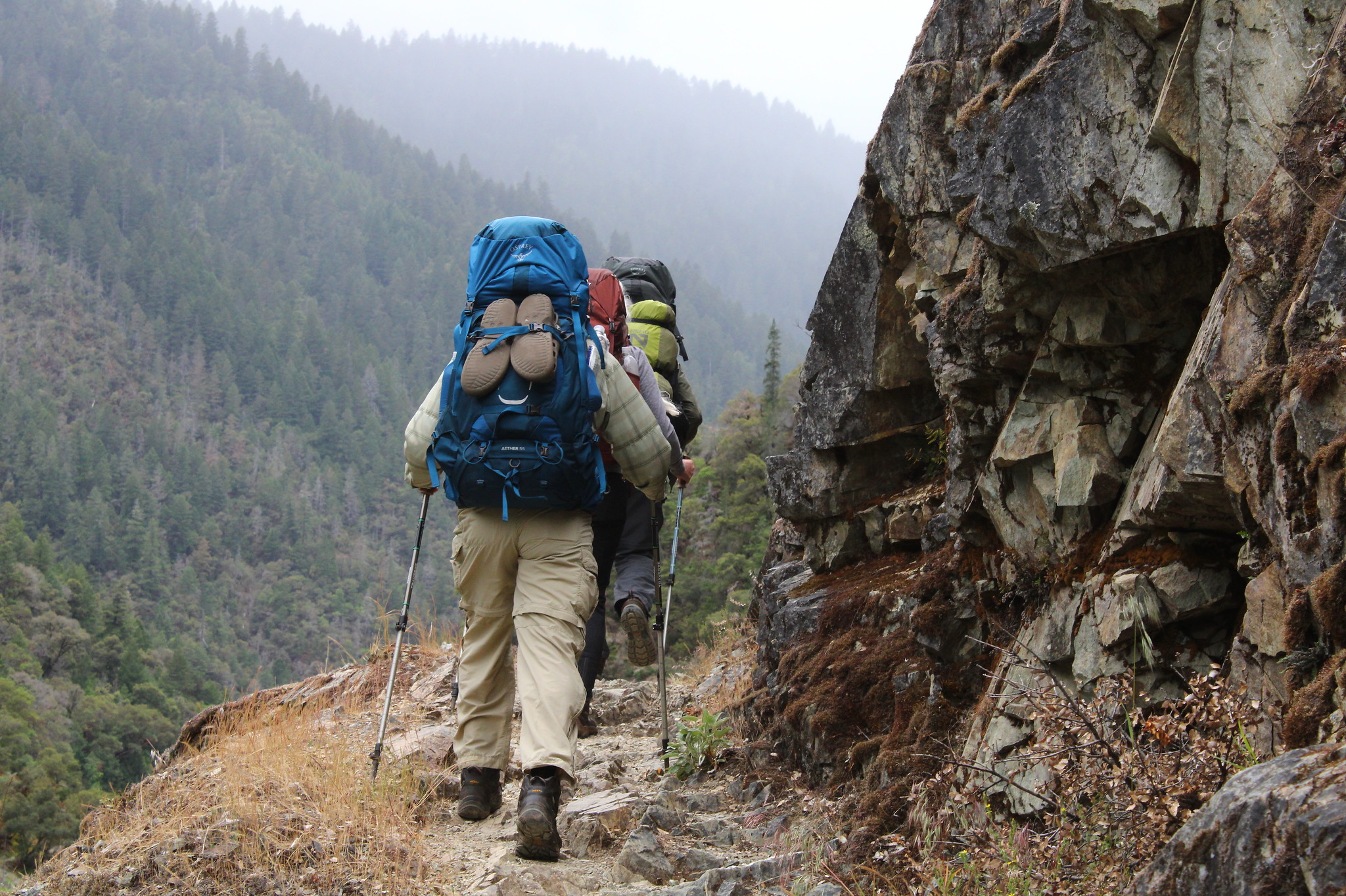
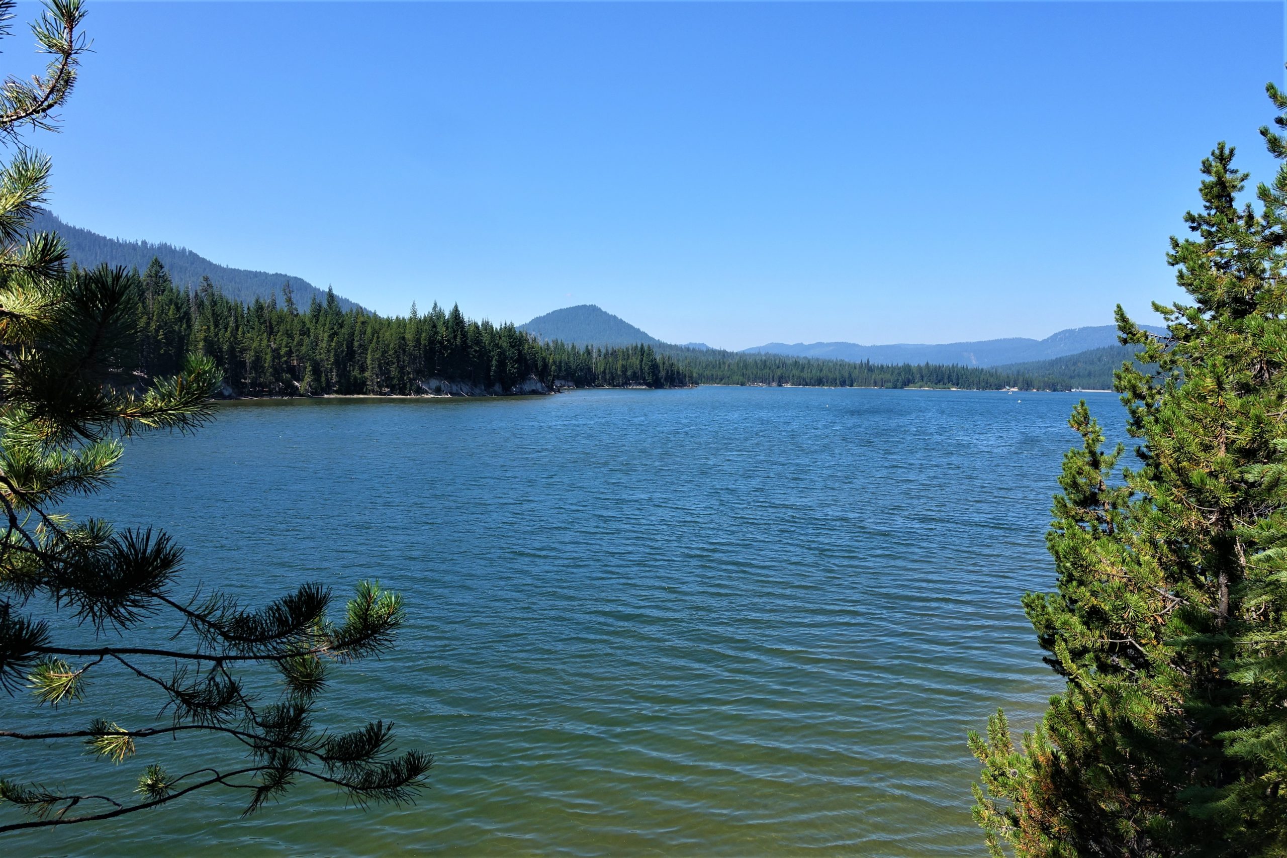
Hike Coordinator: Penny Groth Narration by Penny Groth Seventeen hikers gathered on a cool, slightly misty morning. Destination: Lemolo Lake. First visit for several, frequently visited for others. Our trek began on the west side of the lake near the dam. We traveled counterclockwise. The lake was dotted with quite a few boats, being the last holiday weekend ………….click here to read more.