2022 Campout Day 3: Salt Creek Falls to Vivian Lake – AUG 20, 2022

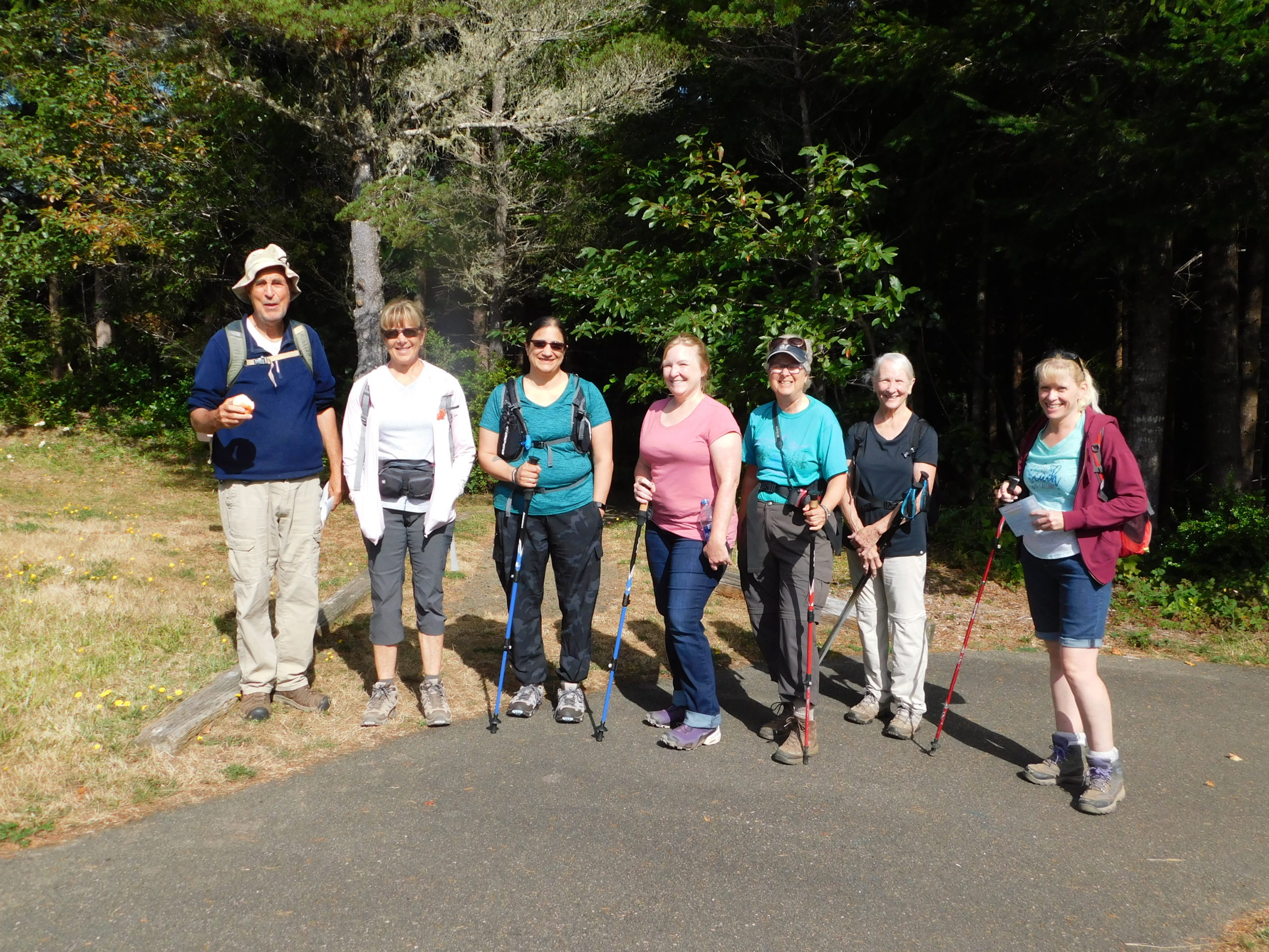
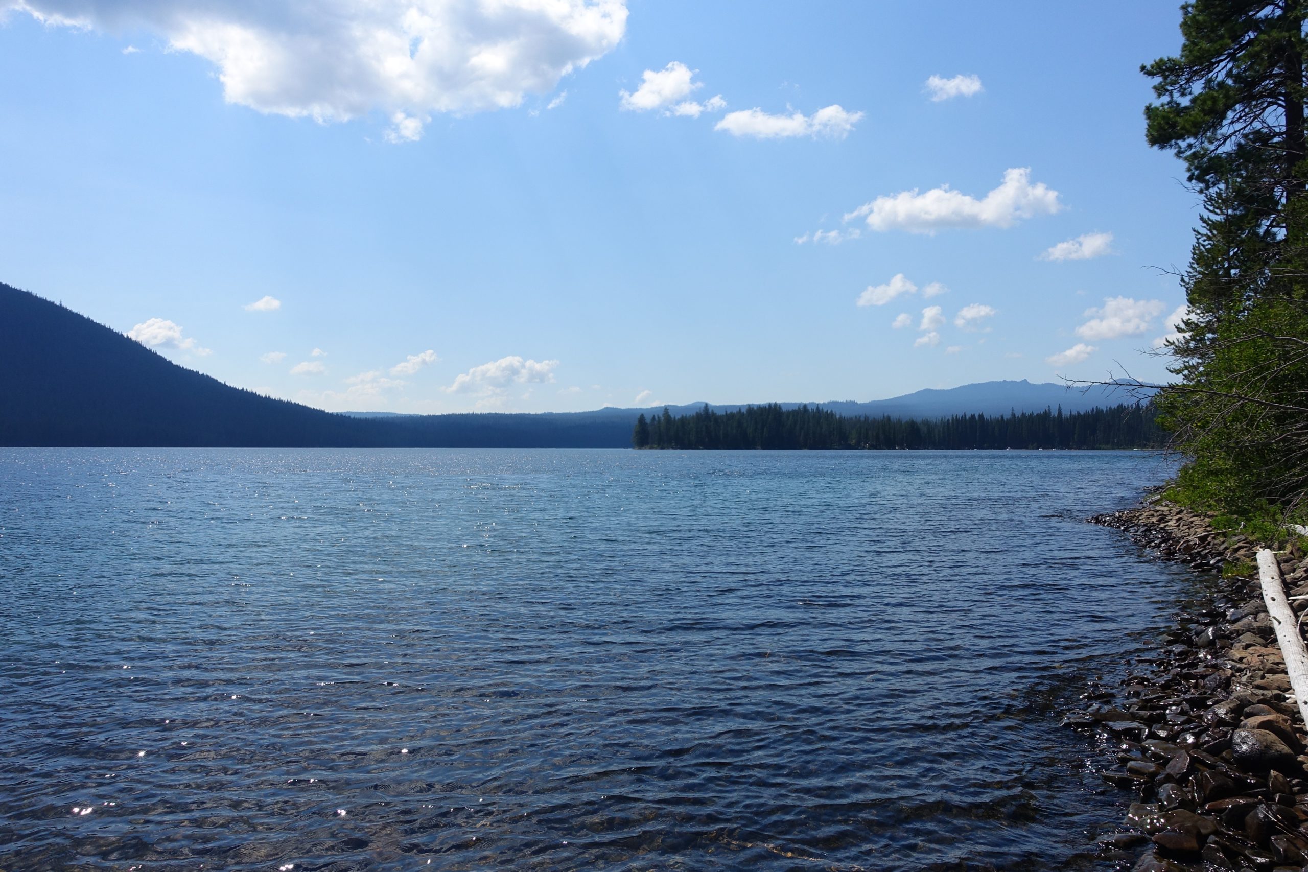
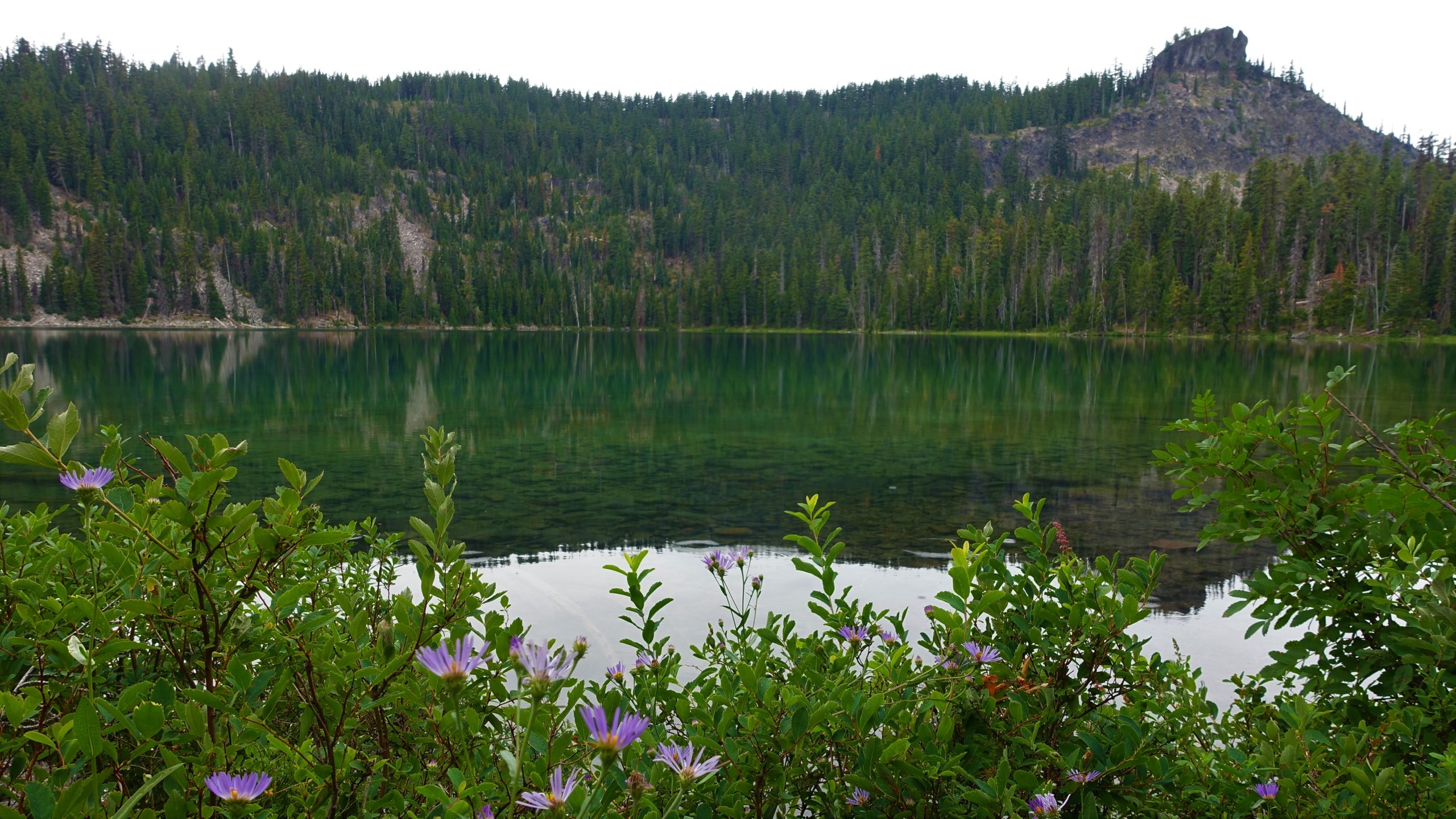
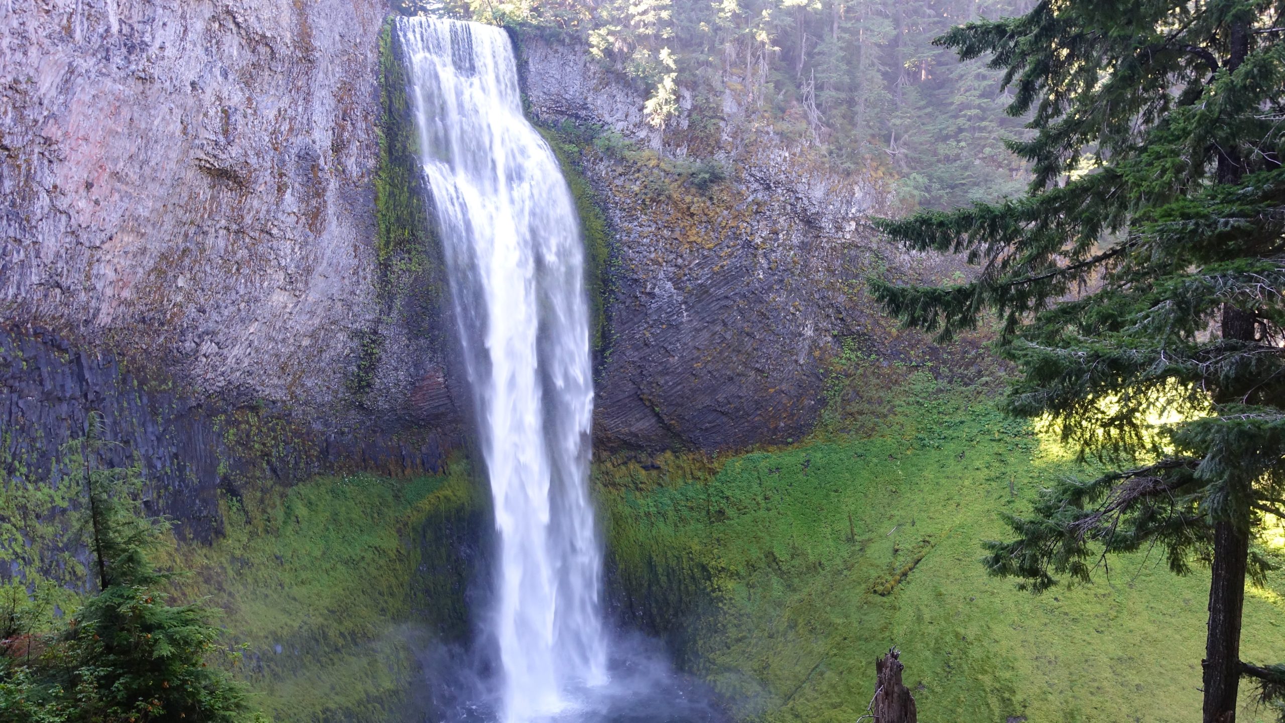
Narration by Lane Harris

Waking up to greet the last day of hiking, we were pleased to see that a change of winds caused the smoke from the Cedar Creek fire to dissipate* from our campsites at Odell Lake and the surrounding area. We had Salt Creek Falls planned for a hike but had been smoked out the day prior. Thankfully, the drive this day would be a short one, as we would need ample time to hike the 10-plus miles from Salt Creek Falls to Vivian Lake, Diamond Falls, and back.

*dissipate: /ˈdisəˌpāt/ verb 1. to break up and drive off: The overuse of the word “dissipate” caused Missy’s hiking buddies to dissipate.”

Salt Creek Falls sits directly off of Hwy 58, attracting many people who gather to awe at the second largest falls in Oregon. On this morning, it had its fair share of visitors, but was certainly not overcrowded. After oohing at the sites from above, we took the path to the bottom of the falls to do some aahing from below. It is quite a marvelous waterfall, and after multiple digital images were captured on our devices, we climbed back up the path to begin the hike proper.

After about a mile of pleasant forest hiking, we took the junction which led us to Diamond Falls. The view of the falls from above are mediocre at best, with all the trees obscuring any good views, so we decided to take the trail that leads to the bottom of the falls. We were soon greeted with an in-your-face view of this incredible waterfall! This type of waterfall is called a fan waterfall, as the water maintains contact with the rock and spreads out in a fan-like shape. We could actually reach out and touch it. It was decided later that this was truly the highlight of the day.

We continued up the trail with Vivian Lake as the goal. The trail to get there is not easy, in terms of elevation gain vs distance. In other words, the trail is steep! In one part, the trail climbs 600 ft in half a mile. Hikers huffed and puffed, taking frequent breaks on the way up. Fortunately, we were walking in a deeply wooded forest which provided ample shade, a small win for us. The sound of nearby Fall Creek was constant, adding another dimension to that deep woods feel.

Upon reaching Vivian Lake, we plopped ourselves down along the shoreline, giving our tired bodies a much-needed break. Here, the air was still and quiet, the sounds of the creek non-existent. The thought of hiking back down was also non-existent, as we languished in the shade along the water’s edge. We spent time eating our lunches, watching birds soar high in the sky, and witnessing dozens of tiny frogs hop about the shoreline. This was definitely a peaceful place to be.

About an hour later, we gathered our things and headed back down the trail, this time with a bit more pep in our step, as it was literally going to be all downhill from here. Needless to say, the going was much easier. We even had enough energy to play! What with some rhyming games to finish the day. For this game, everyone had a say. Our witty words were on full display. Heading downhill, we all knew the way. Alas, I have led you astray…. Anyway, now YOU know how to play!

More pictures on Richard O’Neill’s Flickr page

Pictures below by Richard O’Neill and Lane Harris

South Slough – August 20, 2022

Hike Coordinator: Rheo Wheeler

Narration by Rheo Wheeler

We had 8 participants on the hike at south slough. Weather was amazing for the 4-mile loop through the estuary. The wildlife was clearly absent for this hike, but the side trip to the beach was our reward. Truly a short sleeve weather day at the beach near Whiskey Run.

Pictures below by Rheo Wheeler

2022 Campout Day 2: Cultus Lake – AUG 19, 2022

Narration by Richard O’Neill

Sometime in the middle of the night while we all slept, happily dreaming of new trails, smoke from the Cedar Creek Fire cloaked Odell Lake. Who wants to hike in that crap? Not us, so we quickly confabbed and put together an end-to-end route that ran from Little Cultus Lake to Cultus Lake. And after the half-hour drive to the trailhead, I’m glad to report that the air was blessedly clear at Little Cultus Lake.

We had an enjoyable view of Little Cultus reposing in a forested bowl below a bright blue sky before the trail took us into the woods and we never saw Little Cultus again, in what was a trend for this hike. After a mile or two, we reached scenic Deer Lake and then the trail, in keeping with the trend, then ducked into the forest and we never saw Deer Lake again, either.

Cultus Lake is a large lake and is not so easy to hide, although the trail did a good job of keeping us from seeing the lake as we hiked roughly three miles along the Cultus Lake shoreline. We did stop at a boater’s camp for a lunch ‘n laze, watching thunderclouds form just east of the lake.

As we walked through the forest, we became adept at spotting the floral spires of pine drops, a parasitic plant that we normally don’t see a lot of where we normally hike. There were plenty of pine drops in this area, though.

Mike, Missy, and I get the Golden Boot Award for this hike because while everybody piled into the one car to effect the retrieval of the second car, we hiked nearly another two miles to the Cultus Lake Resort. By doing that, we got more lake time than we did during the entire hike up to that point.

Read more about this hike on Richard O’Neil’s blog, Richard Hikes

More pictures on Richard O’Neill’s Flickr page

Pictures below by Richard O’Neill

2022 Campout Day 1: Rosary Lakes – AUG 18, 2022

Narration by Richard O’Neill

Our original plan was to camp at Waldo Lake for the annual club campout and explore some of the many trails in the Waldo Lake Wilderness. However, the campground was sold out and then the Cedar Creek Fire closed the Waldo Lake Wilderness. Sheesh, what’s the point of making plans, anyway?

We relocated to nearby Odell Lake and because of fire-related closures, we didn’t have a lot of choices about where to hike, so we settled on nearby Rosary Lakes as the destination du jour. The trail was only about 10 miles from the fire, which was 0% contained, yet the air was surprisingly smoke free.

The sky was overcast and light rain fell off and on for the entire day. However, it was also fairly warm and none of the six hikers on this outing felt the need to put on any extra clothing or rain gear during the entire day’s venture.

The Pacific Crest Trail climbed steadily for several miles through a forest comprised of trees covered in moss like my arms are covered with hair. The Rosary Lakes number three, each lake huddled at the base of imposing and craggy Pulpit Rock.

At the Lower Rosary Lake, the first lake we ran into, a deer came to visit with us, totally habituated to the presence of human beings in their forest haunts. Edwin spotted a small lake off trail and before you knew it we were all following him down to the unnamed lake. No complaining though, the lake was pretty cool and made a nice diversion from the more familiar Pacific Crest Trail.

Next stop was Middle Rosary Lake, which had the best view of Pulpit Rock standing against the gray sky. Raindrops pattered on the lake’s surface as the ripples spread out and ran into each other in unrestrained chaos.

Upper Rosary Lake was perhaps the smallest of the three lakes and just for fun, we walked on a use path that circumnavigated the lake and the walk was part hike, part bushwhack as the trail went sketchy on the far side of the lake. But it was hard to get lost as all we had to do was keep the lake on the right-hand side and at some point, we’d return back to the Pacific Crest Trail, which is exactly what happened.

Seems like Edwin was feeling adventurous and when he saw a small lake on Lane’s GPS screen, next thing you know, we were again following him off-trail to another small lake near Middle Rosary Lake. After exploring the large rock pile formed courtesy of Pulpit Rock, we followed a path along the nameless lake which soon petered out altogether. Next thing you know, we were following Edwin downhill through the forest and brush down to Lower Rosary Lake, and then to the Pacific Crest Trail again.

After consulting the map, Edwin and Terry decided to go cross-country down Rosary Creek and then cross Highway 58 to reach our campsite. The rest of us decided to partake in the safety and comfort of a well-established trail that we all knew where it went. I’m both happy and sad to report Edwin and Terry beat us back to the campground.

Read more about this hike on Richard O’Neil’s blog, Richard Hikes

More pictures on Richard O’Neill’s Flickr page

Pictures below by Richard O’Neill

Bullards Beach – August 6, 2022

Hike Coordinator: Richard O’Neill

Narration by Richard O’Neill

Even though the club hiked this one hike on one certain Saturday, the club outing on the Bullards Beach horse trails was really about three hikes.

The first hike was a Cascades Mountains hike, a relatively easy amble to Nip and Tuck Lakes, which was the original destination for the club. However, the Windigo Fire burst into flaming existence, thanks to a round of lightning storms hovering over dry forests. Since the Nip and Tuck hike began at like-named Windigo Pass, it stood to reason that we might not be hiking there. It became official when the Forest Service closed off large swaths of land, trails, and roads in the Windigo Pass area. Time for Plan B.

When the mountains are aflame, then the coast seems like a logical choice. So off I went several days before the actual hike, to test out a route on the Bullards Beach State Park horse trail system. Comprised of the Cut Creek, North Loop, Three Mares, and Pearl’s Trail(s), plus one other nameless trail that runs along the Bullards Beach Road between campground and beach. There’ll be a pop quiz in the morning, boys and girls.

There were two drawbacks to that 7-mile route: virtually all of the loop was on soft sand, and the last half was in shadeless sand dunes and dang, the warm sun baked my noodle as I trudged along. I needed to make some changes, otherwise my fellow hikers would hate me more than normal.

The first change was to hike in the opposite direction so as to get the dunes out of the way first when the day would be cooler. The second change was to replace the Cut Creek Trail segment with a walk on Bullards Beach itself, trading in three miles of soft sand for some hardpack on the beach.

Approximately 10 hikers (including two friends from the South Coast Striders) hit the trail, totally unaware of my travails in cobbling together the route. Soft sand was still soft sand, though, and leg muscles were soon aflame like the forest at Windigo Pass. But, at least it wasn’t as hot as it could get in the afternoon.

The cool part (literally!) was that after the trail crested and dropped through a series of grassy pastures, the fog rolled in and there’d be no threat of hot sun for the remainder of the day. There’d be little to no visibility either, as the thick fog limited our vision to about 15 feet or so. As we straggled down the beach, we all appeared to each other like spectral hikers from the underworld, ghostly in the thick fog.

Our egress off the beach was Exit 147 and it was an open question as to whether we would see the sign or not. But the exit signs are painted bright yellow and it was just enough color for us to notice as we trod along in our colorless world of gray. So, while our original hike had been nipped and tucked by the Windigo Fire, we did make do in fine fashion.

Read more about this hike on Richard O’Neil’s blog, Richard Hikes

More pictures on Richard O’Neill’s Flickr page

Pictures below by Richard O’Neill

Scroll Up