Rogue River Trail Marial to Paradise Lodge – November 18, 2017

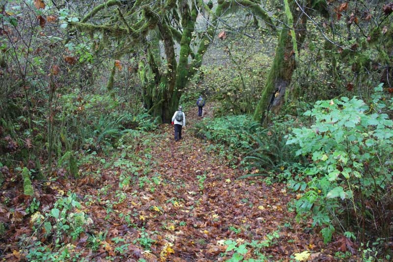
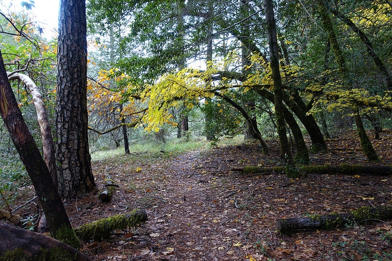
Hike Coordinator – Edwin Case

A mid-November day blessed a dozen hikers with unusually great weather and an outstanding hike on one of the most beautiful stretches along the Rogue River. Our leader for this hike, Edwin, met us in Riddle to begin the day’s expedition. The road to the trailhead was quite twisty, but it was worth the drive, for sure!

The twelve of us, plus Wish the dog, hit the trail with enthusiasm, and within a short distance after exiting the woods, we were greeted with the grandeur that …is the mighty Rogue! The river stays in view for the majority of this hike, and displays its rugged roaring waters in spectacular fashion. The rocky trail was easy to traverse, and every corner we rounded brought another exceptional perspective of the river.

About a mile into the hike we reached Inspiration Point, an awe-inspiring place where Stair Creek Falls plummets from the opposite hillside into multi-level pools of cool water and eventually into the Rogue. Further along, steep rocky cliffs and various rushing streams kept the eyes busy taking in all magnificent sights.

We continued further down the trail until we reached Paradise Lodge, a popular stop for all those boat trips everyone takes up the Rogue River out of Gold Beach. It was not open for business this day, being less than a week from Thanksgiving. But that did not stop us from taking in the views from the lodge’s huge deck as we ate lunch at the picnic tables. Although it was a bit cool out, we basked in the warmth of the sun while exchanging friendly trail stories. Absolutely wonderful!

After Wish finished eating all the left-overs, we threw the packs back on and began the journey back up river. We saw the same sights, but in reverse this time, and with more sunshine! We tallied 6.6 miles upon reaching our vehicles, and some of us wish there were a few more miles to go, as we were reveling in the entire splendor that this trail has to offer.

Pictures by Lane Harris

Kentucky Falls – November 4, 2017

Hike Coordinator – Edwin Case

The weather gods were kind to us, sort of. It had rained entire bathtubs of water for the week prior but we actually drove to the trailhead under a semi-blue sky. However, once we started hiking, it dark clouds floated in and took away the sun.

This was the tail end of Autumn, and several inches of dead bigleaf maple leaves covered the trail, making for a yellow-leaf road of sorts. Kentucky Falls (both the lower and upper falls) were running pretty strong what with the week of rain. At the lower falls, the North Fork Smith River also tumbled over the same ledge as Kentucky Creek and it was pretty cool to see two large falls doing their thing side-by-side.

Kentucky Falls Trail ends where Kentucky Creek runs into the North Fork but we continued on the North Fork Trail which for the most part followed the river, albeit from high up on the forested hillside. The North Fork Trail had been closed because of flood damage from last winter and the trail was in rough shape. 

About 3 miles from the end, the clouds delivered on their threat and we finished the hike in a steady rain. The flood damage was obvious close to the river and we had to rock-hop or wade to get to the stout hiker’s bridge to cross the river. Upstream is a brand new bridge but no trail to and from it yet, apparently the old bridge will be decommissioned. This was a shuttle hike so drivers headed up to the Kentucky Falls Trail head to retrieve cars while the rest of us waited in a cold rain. Great hike, though.

Scroll Up