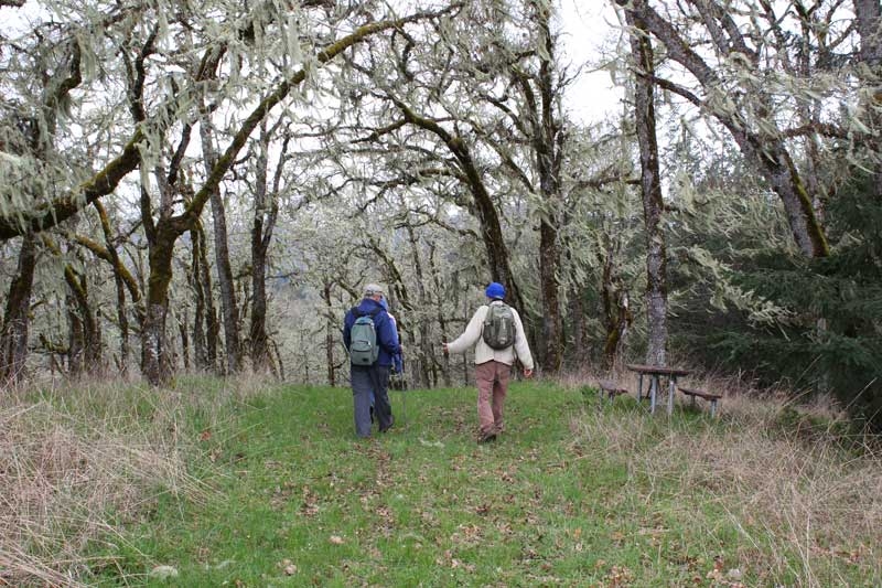
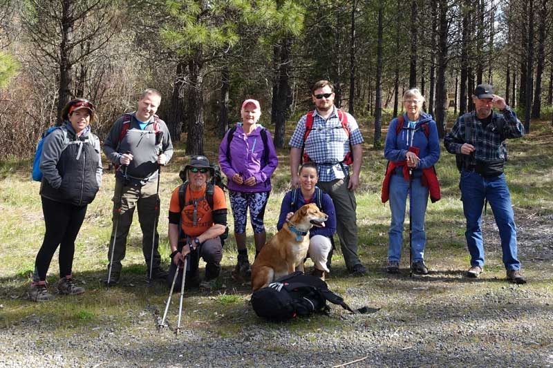
Deer Leap – April 21, 2018

Hike Coordinator – Lane Harris

On this glorious spring day, 9 courageous human hikers and one hiker of the canine variety arrived to conquer this lengthy stretch of trail, measuring at least 9.5 miles. Coincidently, that would be one human for each mile, with the dog representing the additional half mile. How cool is that?! Beginning near Toketee Lake, Lane Harris led the group through a forested landscape and immediately started an up-hill climb. After several small stream crossings, the trail leveled out and became much easier.
 
Staying high above the river, the path meandered gently up and down along moss-covered ancient boulders, with occasional glimpses of Toketee Lake far below. Continuing on, the mostly wooded trail allowed several views of the river far below. There were also several miniature waterfalls that presented excuses to pause along the way.
 
About half way through the hike, most of the hikers stopped at an open grassy and rock-covered meadow, as they soaked up the early spring sunshine whilst dining on whatever fine food a hiker would bring to such an event. After lounging in the midday sun, the trail soon led everyone to a rocky bluff which offered a dramatic view of the scenery below. After that, the trail took a dramatic descent, plunging nearly 1000 ft toward the Slide creek power plant. 
 
After crossing picturesque bridges at both Slide Creek and Medicine Creek, the trail finally gave clues that the end of the hike was near, as it hugged the river now. The hikers were awarded with an impressive view of Soda Springs dam near the end of the hike, with the last task being to walk underneath the massive metal water flume and into the parking lot.
 
This was a long hike, but all agreed it was well worth it, and that it was just what we needed to shake off those winter blues and blahs.
 

Pictures by Lane Harris

North Bank Habitat – April 7, 2018

Hike Coordinator – John Malone

This was a substitute hike because weather precluded the scheduled hike into the Rogue-Umpqua Divide Wilderness. So, it was no surprise to the 5 hikers who showed up that it was raining. But since we are Oregonians well used to the rain, we just put on the rain gear and started walking uphill from the west parking lot of the Habitat. The phrase “walking uphill” gets used a lot when hiking in the North Bank and this was no exception. When we got on top of Middle Ridge, the rain stopped and the sun made a valiant effort to turn the day into a sunny day, while not always succeeding. On the open ridges, the wind really picked up and we had to hang onto our hats on more than one occasion. The short loop by way of Chasm Creek was dangled as an option for putting out if the weather turned belligerent and proudly, all hikers eschewed that option. The trail reached the high point on top of North Boundary Ridge and the views were tremendous, this is why we hike, boys and girls, even on a less than stellar day. We could see all the way to the Callahans on the other side of Roseburg while the North Umpqua River glistened as it perambulated around Whistler’s Bend. Also visible, was a wall of black cloud, the opaqueness below letting us know inclement weather was coming. And sure enough, we were pelted with hail as we descended from the ridge. But that was just a temporary squall and the sun came out once again, spreading its sunny good cheer around. At the trailhead, it was high-five and handshakes as we all enjoyed a brisk spring hike in the North Bank.
 
Pictures by Richard O’Neill
Scroll Up