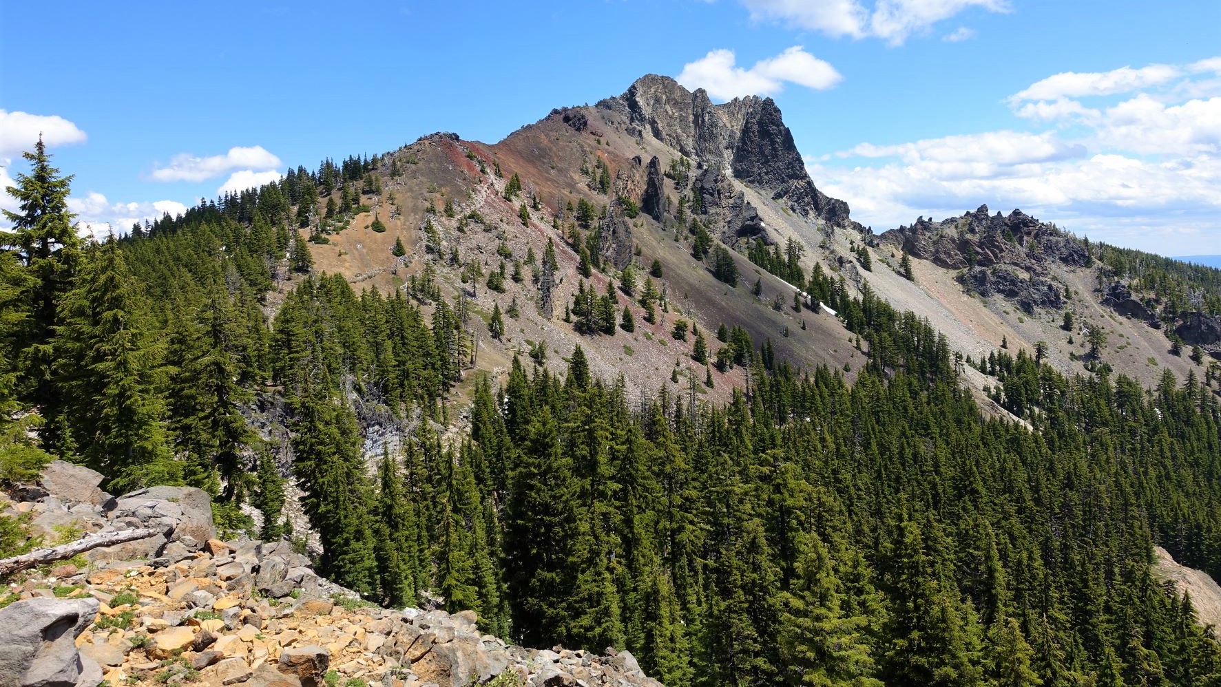
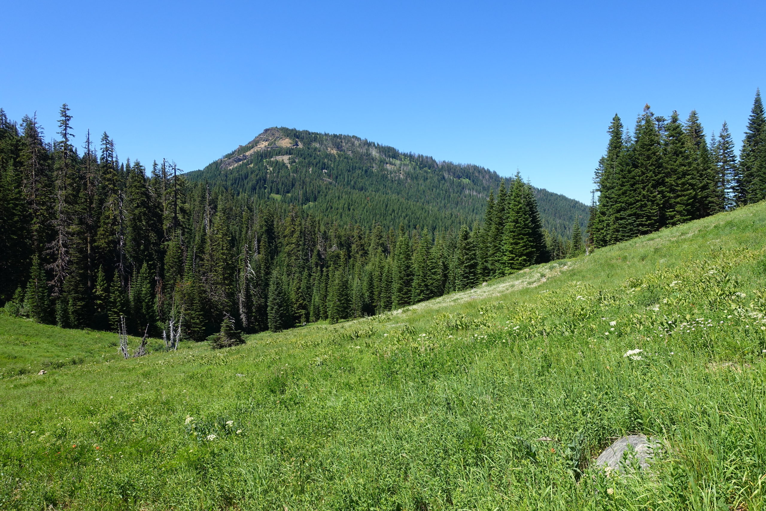
Rattlesnake Mountain – July 23, 2022

Hike coordinator: Edwin Case

Narration by Lane Harris

If you look at a map you’ll see that Rattlesnake Mountain, Mosquito Lake and Windy Gap are all within a mile of each other. It sure doesn’t sound like a very friendly place to visit. Despite the threatening names given to these various land features, this area in the Rogue-Umpqua Divide Wilderness offers some of the most stunning scenery in our neck of the woods. Perhaps the names were a way to keep hoards of people away from enjoying the beauty of this area. What they should really worry about is the drive to get to the trailhead to Rattlesnake Mountain!

Edwin managed to attract a baker’s dozen for his steep trek to the top of rattlesnake Mountain. But first, he had to get them there…

The route to get to the trailhead in Fish Creek Valley south of the mountain consists, in part, of several miles along a dusty, pothole-filled road. With thick vegetation reaching out to scrape the sides of vehicles, its not the most vehicle-friendly road I’ve been on. However, there are worse roads out there, and at least this one didn’t require 4-wheel drive on this warm July day.

Arriving at the trailhead, hikers laced up their boots and began the march towards the mountain. The first mile was a steady climb along what is really Castle Creek Trail that unsurprisingly originates at Castle Creek. Taking a right at the junction, the trail climbs up to the intersection at Windy Gap. None of us detected any wind here, although we wish there was, as it was starting to get warm. We continued up the Rattlesnake Mountain Trail, and this is where the “difficult” part of the hike really begins to kick in. The trail sidewinds it’s way along the southern side of the mountain, with a fair number of steep parts that make you rethink this hobby called hiking. The saving grace were all the wildflowers that adorned the steep hillsides, along with the many meadows, giving hikers with cameras excuses to stop and take pictures while they catch their breath.

Eventually, and certainly not soon enough, the path took a westerly turn and took a much more gradual approach towards the top, taking us hikers through one of the largest meadows we would encounter this day.

This large meadow near the top afforded us southerly views as we languished in the casual stroll toward the western edge of Rattlesnake Mountain. Eventually, the trail more or less disappears, as adventurous hikers are likely to explore every which way up here. But our destination was the rocky overlook on the western side.

Upon arrival, most of us immediately divested our backpacks and just plopped ourselves on the ground, while others strategically claimed rocky surfaces near the edge of the cliff. Although the views here are limited to mostly to the west and south, they were nonetheless views.

After finishing our mountaintop lunch, the group gathered up and we did some exploring near the northern tree-covered side of the mountain. There, we discovered what was once, to the best of our knowledge, remains of an old lookout. Giant cement blocks indicated that the structure that once stood here was substantial. Some wisecrack comments were made about the poor souls who had to pack these huge cement blocks up the hillside. Obviously, that’s not true, as the likely mode of transportation for these behemoths would have been done by helicopter.

After the history show, we looked forward to making the trek down, this time appreciating the meadows without the heavy breathing like we did on the way up. It was getting warmer by the minute as we hiked down, but at least it was down! We took a left at the Windy Gap intersection, which took us onto new trail. At one point, the trail crosses a small creek, giving hikers two options to traverse it: A log that stretched across to the other side, or the mundane lower path where hikers could just hop across the creek. With the exception a few hikers, everyone else chose the somewhat challenging, but mostly safe log option. Fortunately, no one ended up in the creek below and we applauded each other for this acrobatic accomplishment.

The remainder of the hike took us through mostly wooded hillsides, eventually culminating in tranquil meadows until we reached the road which was just yards from the trailhead. At this last meadow, we were able to turn around and peer up at Rattlesnake Mountain in awe as we speculated about how we actually hiked up that high. With a 1,500 ft elevation gain, this hike earns a well-deserved rating of “difficult”, but the beauty of the meadows and the overall views made the effort we put into it all worth it.

Rattlesnake Moontain

More pictures on Lane Harris’ Flickr page

Pictures below by Lane Harris

Cowhorn Mountain – July 9, 2022

Hike Coordinator: Coreena Gosselin

Narration by Lane Harris

The planning leading up to this hike was harder than it should’ve been, but with persistence, hike leader Coreena eventually determined that the club could actually hike the ‘ol Cowhorn.

A few weeks prior to the hike, Coreena was unable to even get to the trailhead due to road conditions, thanks to our late snowfall. Then one week before the hike she made it part way up the trail before a threatening thunderstorm and rain chased her off the mountainside. But at least the trail was attainable and she didn’t have to change the hike destination at the last minute.

On the day of the hike, a whopping eighteen hikers headed up the highway toward Windigo Pass and the trailhead. It was around eleven o’clock before boots hit the Pacific Crest Trail, which by the way, was quite crowded with thru-hikers gathering at the trailhead while they refilled containers with fresh water, thanks to generous trail angels.

The climb up to the base of Cowhorn Mountain is a nice steady grade, made backpacker friendly for the PCT folks who have more weight in their packs than us puny day hikers. Nonetheless, the 4 miles of “steady climb” made each of us huff and puff on this warm summer day.

As hikers rounded each corner that had a view looking up at the mountain, many voices could be heard saying, “We’re going up THERE?”. Seeing Cowhorn Mountain from below can be quite intimidating, to say the least. But we pressed on…

Although we began with eighteen eager hikers, that number dwindled some as the trail proved a bit too tough for some as they wisely chose to turn around and call it a day. The remaining hikers continued the trudge up the trail, some perhaps thinking that the ones who turned around were possibly the smarter ones of the bunch…

We hit a few patches of snow on the trail when we were about a mile from the junction that veers off the PCT to Cowhorn. These small icy obstacles did little in slowing us down, as they were easily managed by just walking up and over them.

At the junction, the trail angles off to the right and heads up to Cowhorn. Everything up to this point was just a warmup for the next section, which is a short but extremely steep climb that switches back and forth on a loose, rocky hillside. This is the mountain making it’s declaration to hikers: “If you can pass this torture test, then you are worthy of summiting my peak!” For those who did make this incredibly sheer ascent, they were rewarded with a moderate walk across an attractive saddle filled with red and orange volcanic rock. Tremendous views were enjoyed from this area, but the top of the mountain was calling to some of us, so we continued on…

I wasn’t really sure how many hikers were in front of me, but I did know that number was not eighteen! The last task of attaining the summit of Cowhorn Mountain requires hikers to replace their trekking poles with their hands, as the remaining 50 feet is a scramble up solid volcanic rock. As I reached the top, I was greeted by what I termed as fellow Cowhornians. In all, only eight of us had achieved Cowhornhood, and it was magnificent! Precariously perched atop the small, uneven surface, we ate a well-deserved lunch as we enjoyed the 360-degree views.

If you can name it, we saw it. Crescent Lake dominated the view immediately to the north, and we could make out Diamond Peak, the Three Sisters, and even Mount Washington and Jefferson further to the north. To the south we easily made out Mt Thielsen and Bailey, and even further away, Mt McLoughlin near Medford.

After much oohing and ahhing, we slowly and carefully made the climb off the top, taking in the views once more on the way down. Coming off of Cowhorn Mountain requires attention to detail, as boots tend to slip and slide coming down the scree slope. We met up with the rest of the group who had gathered near the bottom of the mountain near the PCT. From here, it was all downhill.

This 9-mile out and back hike is not an easy hike, by no means. In fact, some of us commented to the newer hikers that if they can do this, they can do any hike that pops up on our schedule. I’m not sure if that remark was received as a compliment meant to encourage them to hike with us again, or as a discouragement to never hike with us again!

Cowhorn Mountain

Read more about this hike on Richard O’Neil’s blog, Richard Hikes

More pictures on Richard O’Neill’s Flickr page

More pictures on Lane Harris’ Flickr page

Pictures below by Lane Harris

Scroll Up