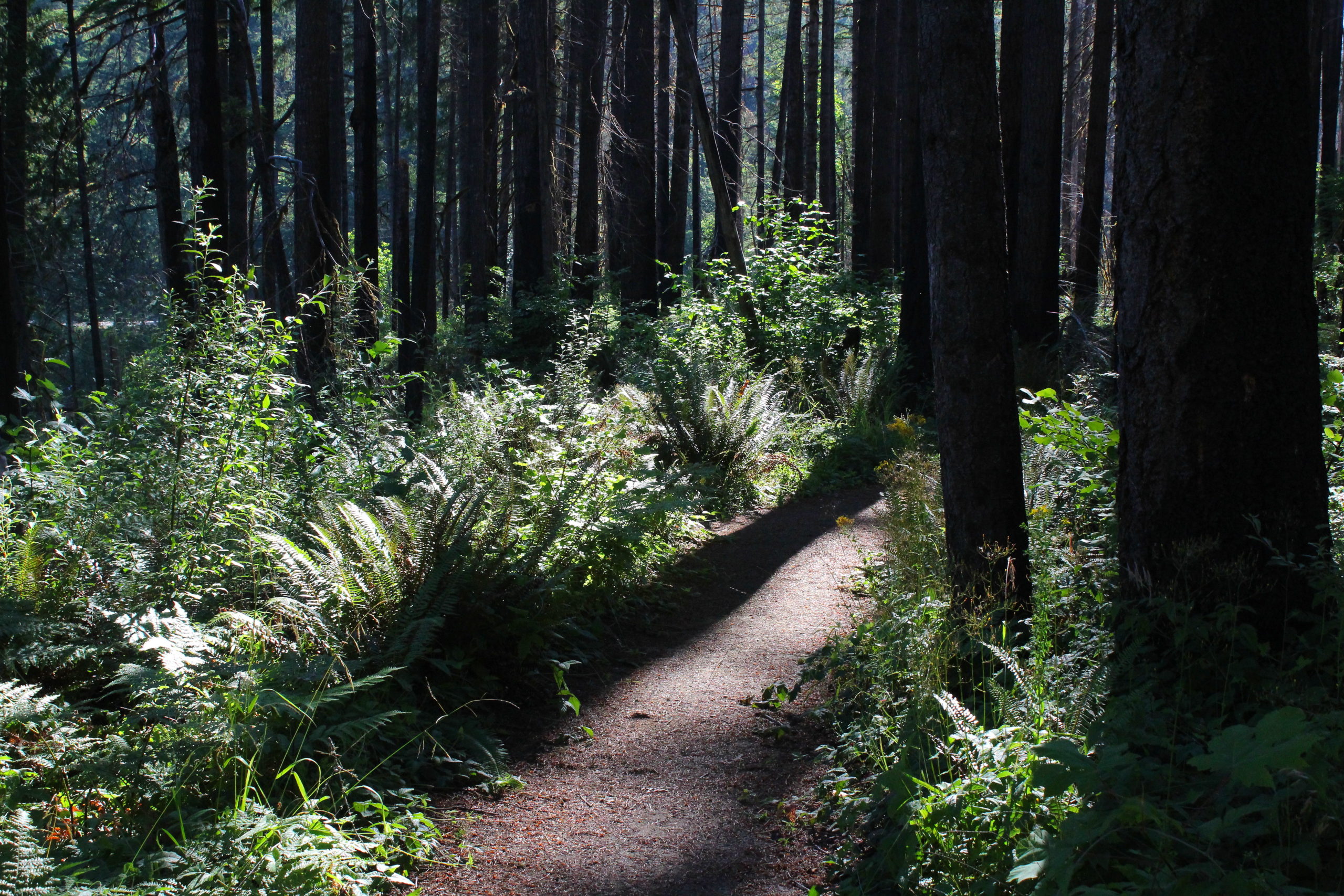
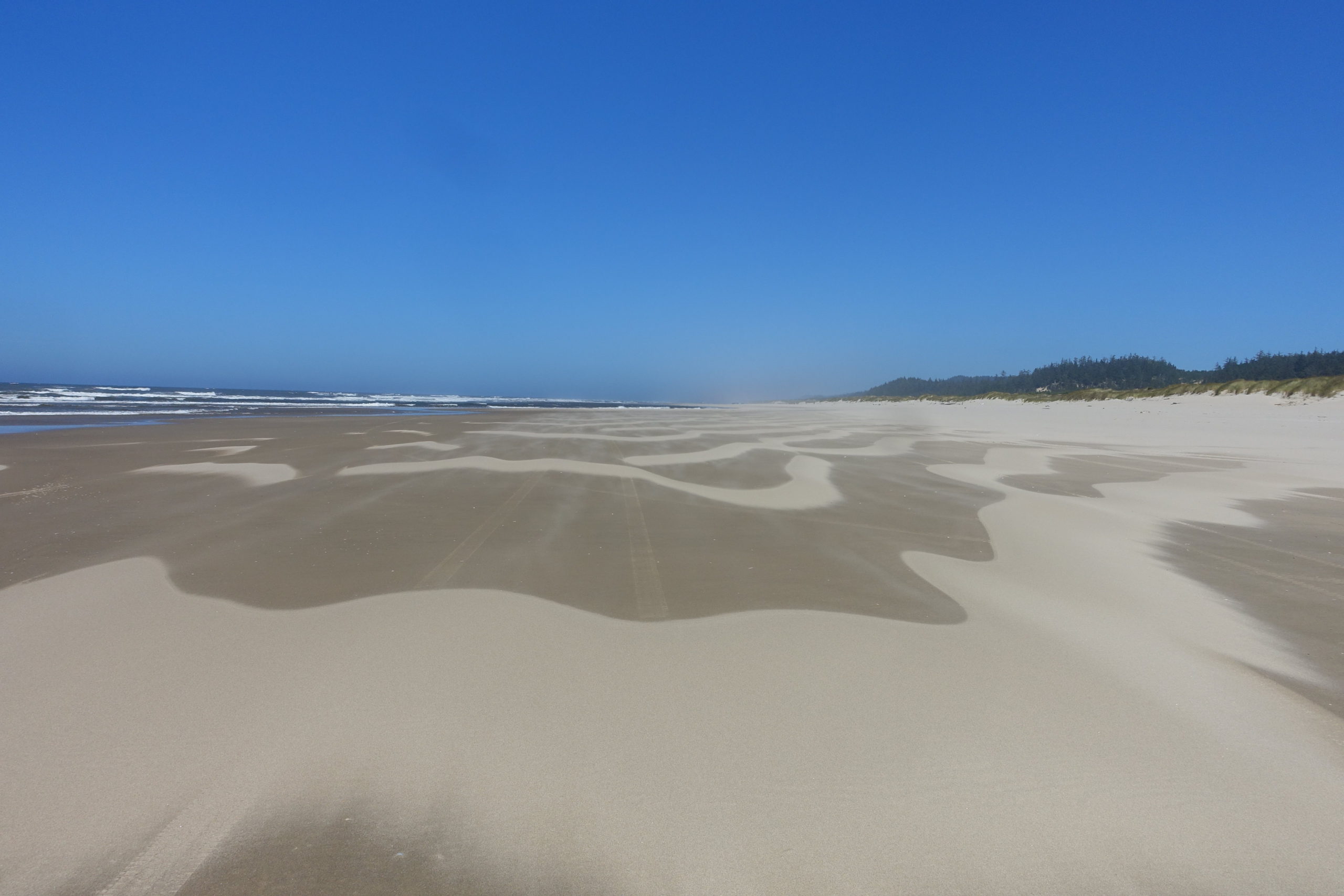
Umpqua Spit – July 25, 2020

Hike Coordinator: Lane Harris

Narration by Lane Harris

A good dozen or so hikers showed up for this ‘nothing-but-beach’ hike along the northern stretch of land that lies near the mouth of the Umpqua River, otherwise known as the Umpqua Spit. The parking at the end of Sparrow Park Road was limited, as it was filled with vehicles belonging to all the weekend nature lovers. Whether they were there to fish, picnic, or just frolic on the beach, it was quite a surprise to see that many people in one area. Then again, this year was the year to be outside since it was safer than being indoors with a bunch of strangers.

Once on the beach, we headed south and away from the hoards of people near the entry point to the beach. We enjoyed the sand under our boots and the fresh air. We then enjoyed more sand under our boots…. You get the picture.

Some of our group turned around early, probably because they were eager to know what it was like to walk on sand in the northbound direction. The rest of us continued south, with Brad being the only one completing the entire route to the tip of the actual spit.

After a casual lunch on logs, we headed back north to enjoy, you guessed it, more sand walking! Brad did eventually caught up to our group. We paused for a minute after Wendy’s curiosity led her to a group of people digging in the sand. Not clams or oysters, but it was worms they were digging up! They had a bucket with the creatures in it, whose fate no doubt would be at the end of a hook to lure in some sort of seafaring delicacy. After Wendy offered to give the worm digging activity a try, she did manage to get one! We then graciously thanked the sand people and went on our way.

The walk back was hindered by the insistent northerly wind that seemed to knock us back one step for every two steps we took, making the hike back a little bit tougher than the first half of this beach walk. Nonetheless, all hikers were accounted for in the end, and all that was left to do was knock the sand off of our boots.

More pictures on Lane Harris’ Flickr page

Pictures below by Lane Harris

North Umpqua Trail: Swiftwater Segment – July 11, 2020

Hike Coordinator: Rheo Wheeler

Narration from “Richard Hikes” by Richard O’Neill

This was my fourth hike in eight days. Two of those hikes had been plenty rigorous, working out those leg muscles via plenty of uphill grade coming on the way to a mountaintop summit. So, when the daunting climb up and over Bob Butte on this hike on the North Umpqua Trail presented itself, my legs were plenty up to the challenge, scoffing “So, what about Bob?” Wow, it seems like if you exercise regularly then your body responds in kind by improving muscle stamina and strength while shedding some of those unnecessary pounds too. Who knew?

Because this has been the year of Covid-19, I’ve been mostly hiking alone. However, Oregon had recently modified the restrictive stay-at-home order and accordingly, the Friends of the Umpqua Hiking Club cobbled together a small schedule of outings, with some limitations so as to comply with the new guidelines. Accordingly, it was kind of nice to (legally) hike with people again. Since one of the limitations voluntarily implemented by the club was to keep hikes fairly close to home, it only stood to reason that the North Umpqua Trail would make it onto the roster of upcoming hikes.

There were several options for hiking distances and routes but about half of our rather large (given the club’s self-imposed group limit) and enthusiastic group opted for a straight-through hike on the Swiftwater Segment of the North Umpqua Trail. Rheo had graciously agreed to ferry us back to our cars at the end of the hike, hauling us in the back of her pickup like so many sacks of garbage on their way to the dump. We didn’t complain (within earshot of Rheo) because the shuttle allowed us to experience the eight-mile segment in its entirety.

It was obvious early on that this hike would be mostly about the lush forest growing next to the North Umpqua River. For the majority of the first four miles, the trail was mostly level and the vegetation lush, with tall trees providing plenty of shade which was appreciated on a warm summer day. The river was mostly heard but seldom seen as the forest cover did a pretty good job of obscuring the view much like the broad-shouldered dude wearing a cowboy hat that always manages get the seat in front of you at the movie theater.

This area had been ravaged by fire several summers ago and after a couple of miles, the green forest was replaced by a dead forest with acres of ghostly snags reaching up to the blue sky above as if to send their forest fire anguish up to the heavens. However, death is part of life and vise versa, and the forest was already well on its way to recovery from the conflagrations of summers past. Because of the increased sunlight in direct proportion to the increased number of dead (ergo, shadeless) trees, sun-loving vegetation was flourishing in rampant exuberance. Fireweed, and thimbleberry were the main culprits but there were also plenty of young big-leaf maple trees taking root, in a sure sign that the forest will return at some point.

In winter and spring, there are a number of seasonal creeks that cross the trail but on this summer day, the temporary creeks had pretty much all dried up. One exception was the creek at Fern Falls, a highlight of the hike that shows up at just under the two-mile mark. The fire has done a number on the formerly photogenic cascade, for now the small creek gully is choked and littered with fire debris such as trunks, limbs, and tree parts, generally. The increased sunlight supports a healthy layer of vegetation that further obscures the waterfall. While the hike is enjoyable and beautiful, the small cataract is not as impressive as it used to be.

Shortly after crossing on a footbridge spanning a nameless creek flowing in a deep gully, the live forest returned and just as we were beginning to overheat in the sun like lozenges melting on a hot sidewalk, we returned to the shade and there was much rejoicing. The cool forest was very much appreciated and the whole vibe was ferny thanks to sword ferns brandishing their fronds on the hillsides and over the trail as we hiked by.

At the four mile mark, the easy level walking ended as the trail inclined upward and began the climb up and over forested Bob Butte. From a technical aspect, I’ve never understood why the trail designers engineered this taxing section of trail this way, for it seems to me that the route could have just continued along the river like it had been doing for the first four miles. But obviously, it does prove that trail designers don’t ever hike on the trails that they create, at least in this world. Although, they may forever have to hike on them on a warm eternal day, if you get my drift. However, after this week of constant hiking, my legs were more than up to the would-be daunting task of climbing up and over the butte. As I hiked, I contemptuously sneered at the uphill grade except for when nobody was watching.

However, despite Bob Butte’s lone failing of having a steep trail on it, the mostly wooded mountain did provide one of the main highlights of this hike. After cresting the high point of the hike, the venerable North Umpqua Trail then drops down to Bob Creek. On the descent, the slope sheds the trees and goes all rocky and grassy on us, with just a few odd oak trees scattered here and there. Accordingly, the open slopes provide a nice view up the North Umpqua River canyon, but on this day that vista was upstaged by a flowering clarkia known as Farewell-to-Spring, so named because the blooming clarkia is a sure sign that summer has arrived. The grass on the open slope was all dull and drab, having browned out weeks prior. However, the ample quantities of Farewell-to-Spring absolutely colorized the brown slopes in a spectacular display of pink interspersed with purple, thanks to some elegant brodiaea flowering in between all the clarkia. It was truly stunning and wondrous.

However, it was a bit too sunny and warm to comfortably lunch and laze in the rocky meadow, flower display notwithstanding, so our little hiking subset consisting of me, Wendy, Coreena, Misty, and canine pal Arlie walked just a bit further to the bridge crossing of Bob Creek. I don’t know who Bob was but he certainly has stamped his brand on all named things in this area. At any rate, we enjoyed the rest, the shade, the rushing creek, and ghost pepper infused sandwiches. Well, maybe just one of us enjoyed that last item.

From Bob Creek, a short uphill push took us up and away from the creek bounding in its ferny forested canyon and once the trail crested it was all gradual downhill at that point, and legs were thankful. The trail is an old forest road here and it was plenty wide enough for us to walk abreast as we hiked in easy companionship. Normally, I hike this section in the winter and on this summer day, all the seasonal creeks and cascades were just an evaporated memory, as fleeting and impermanent as a wisp of steam rising from a teapot spout. However, the forest was still lush and plenty green and it was a pleasant and shady walk before we polished off the hike with a crossing of the North Umpqua River on Tioga Bridge, where a short and breezy return shuttle in the bed of Rheo’s truck awaited us.

More pictures on Richard O’Neill’s Flickr page

Pictures below by Richard O’Neill

Scroll Up