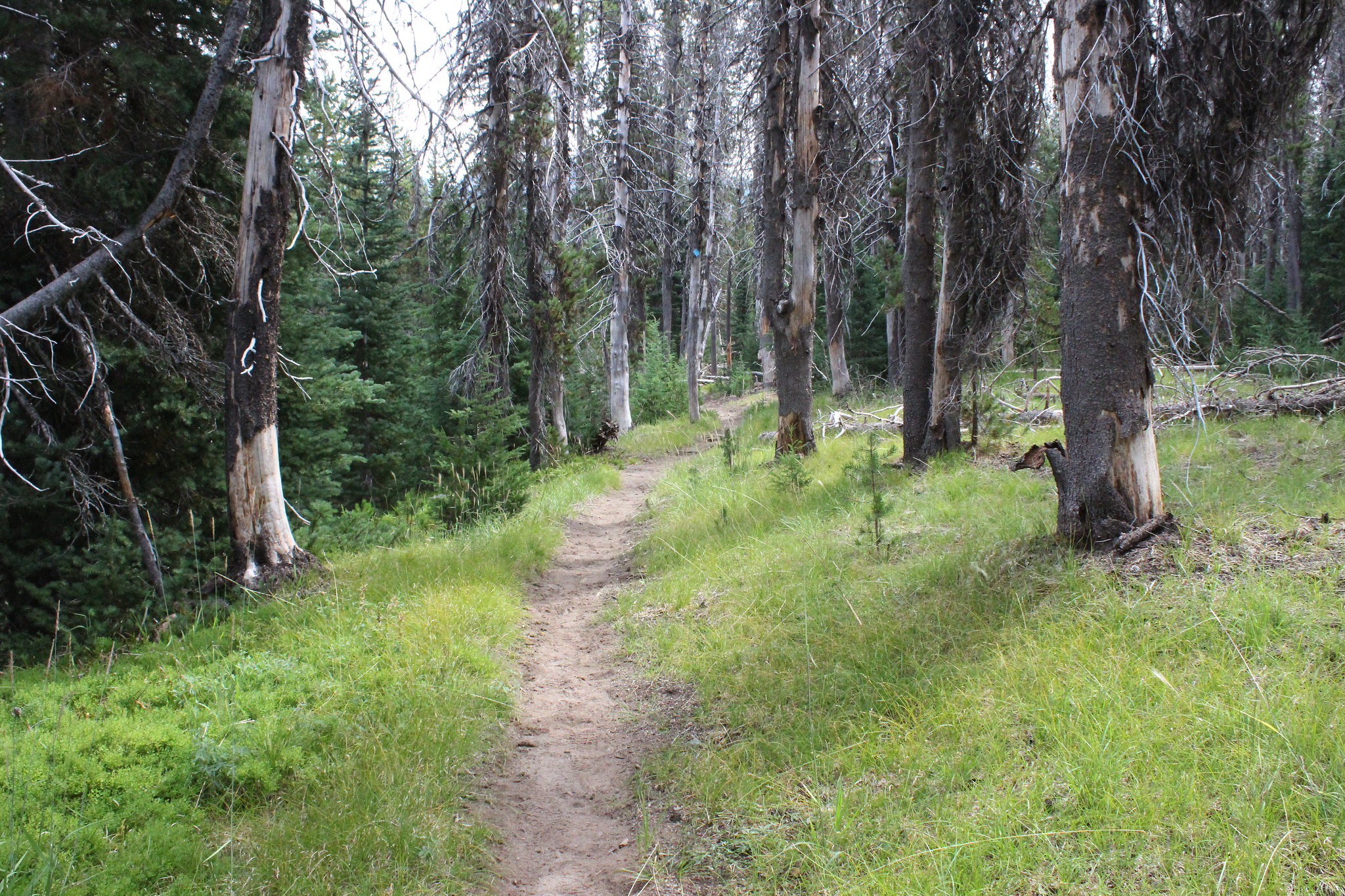
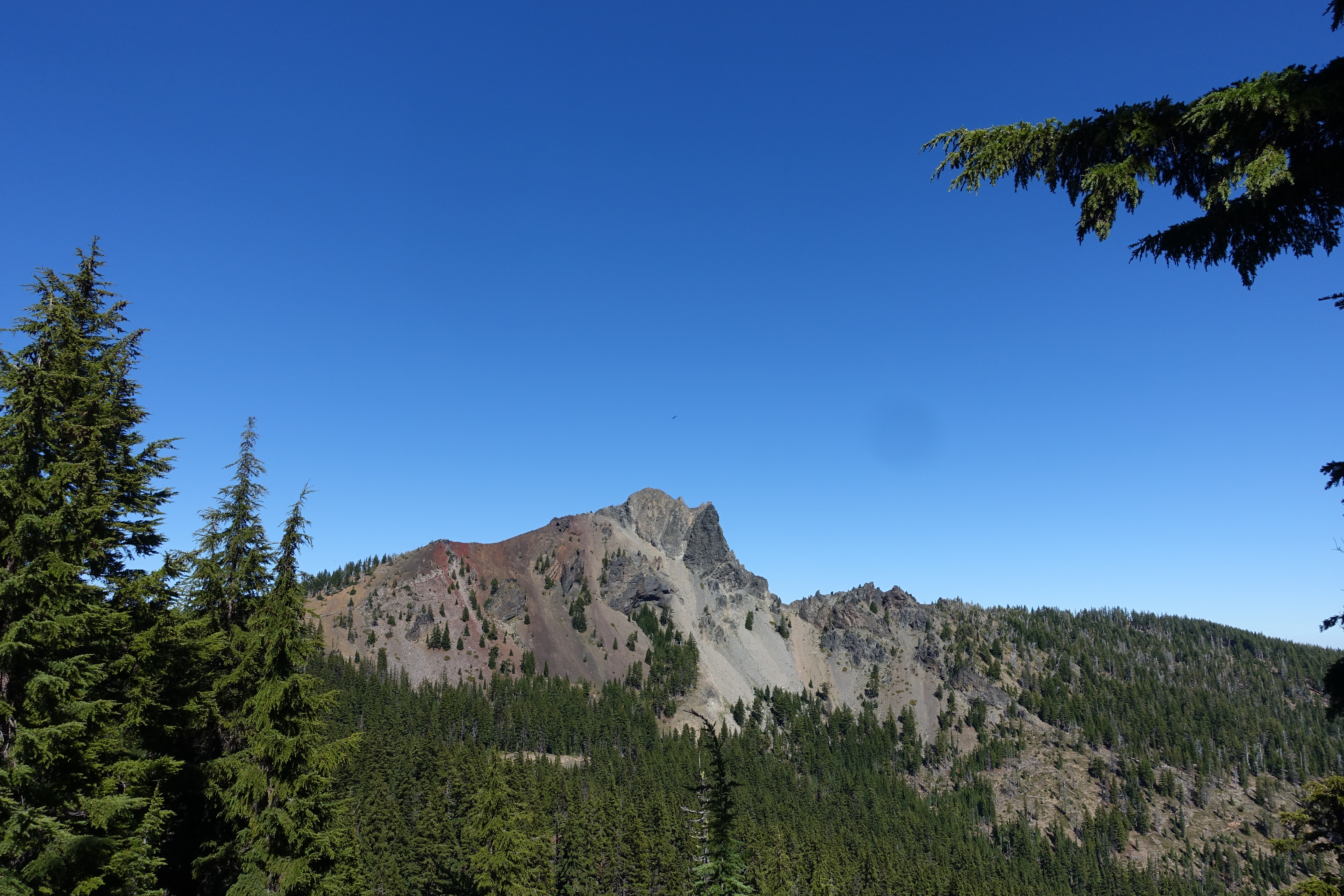
Cowhorn Mountain – September 21, 2019

Hike Coordinator: John Malone

Narration by Lane Harris

Cowhorn Mountain used to have a tall spire pointing straight up toward the thunder Gods, acquiring its name from its pointy peak. But that tall spire was struck down by the thunder Gods when lightning struck it in 1911. This resulted in a flattish surface where those who venture to the top can take a well-deserved respite upon. But the privilege of resting your buns atop the ‘horn is not easily obtained.

Eight of us gathered on this summer-like day in mid-September. Not one cloud was visible in the blue sky above and the air was cool. A perfect day for hiking! Our hike began at Windigo Pass to the south of Cowhorn Mountain where Windigo Pass road intersects the Pacific Crest Trail, otherwise known as the PCT. Since the majority of this hike is on the PCT, we enjoyed a gentle grade as we made our way up.

The trail loosely follows a ridgeline through the forest, offering occasional views of Mount Thielsen, Mount Bailey, and Windigo Lakes. As we rounded some corners, we would see Cowhorn Mountain looming tall above us, it’s craggy and jagged edges making it appear impossible to even think about climbing it. And every step closer made it look increasingly larger and even more intimidating.

We eventually arrived at a rock cairn at the base of the mountain, which indicated the detour from the main trail to the path leading up to Cowhorn Mountain. With its close proximity to the PCT, Cowhorn offers a nice distraction for thru-hikers who are willing to drop their packs and make the climb.

The kind, gentle slope of the PCT was now behind us, replaced by a much steeper grade as we made our way up the western ridge of Cowhorn Mountain. The distance to the top is probably a mere quarter mile, but its surely one of the toughest quarter miles around! We slowly made our way up the steep, pumice-laced trail, encountering multiple switchbacks along the way.

After reaching a false summit, we crossed a barren crest of red lava before starting the zig-zag path once again up the final approach to the mountain. It is here where the trail basically ends and hikers are left to climb, hand over hand over rocky ledges and outcroppings, choosing their own pathway to the top. Although not a death-defying feat, only those who are comfortable with their own abilities should attempt this final scramble to the top.

Alas, we were not alone way up here! A mountain bike club from Eugene had made this their destination as well, minus the bikes of course. They had left those down near the PCT prior to climbing up. They had ridden up from Timpanogas lake earlier in the day and were already at the top of Cowhorn when we arrived. Soon, we were joined by even more adventurous souls, as miscellaneous hikers trickled their way up the mountainside. It was as if a call went out announcing that this may be the last sunny Saturday of the season to enjoy fantastic views of the Cascades!

And from the top of Cowhorn Mountain, the views were indeed fantastic! The large prominent lake to the north was Crescent Lake, with Summit Lake showing itself off in the northwest near Diamond Peak. To the far north were the Three Sisters and the top of Mount Jefferson. Off to the east lies Cowhorn’s nearest neighbor, Sawtooth Mountain.

After eating lunch and soaking in views from what felt like the top of the world, and figuring it was getting a bit crowded up here anyway, we left the ‘horn and began the precarious reverse scramble back down. Legs were in constant brake mode and trekking poles were a hot commodity as hikers attempted to slow their descent down the short but steep mountainside.

Upon reaching the PCT again, it was an easy walk down the PCT, this time without all the huffing and puffing. We made good time going back down, encountering several backpackers who were heading northbound. It was a busy day in this neck of the woods! We were soon back at our vehicles, thankful for a great hike on perhaps one of the last sunny summer-like days in September.

More pictures on Lane Harris’ Flickr page

Pictures below by Lane Harris

Thielsen Creek – September 7, 2019

Hike Coordinator: Richard O’Neill.

Richard led a small party up the Thielsen Creek Trail on a day that felt like it was going to rain. The day before, a lightning storm had breezed through the area and already, smoke from numerous fires had hazed up the air. However, the incoming storm system tamped down the smoke and the hike was thankfully fire free.

Read about this hike on Richard O’Neill’s Blog

More pictures on Richard O’Neill’s Flickr page

Photos below by Richard O’Neill

Scroll Up