North Bank Deer Habitat – April 20, 2019

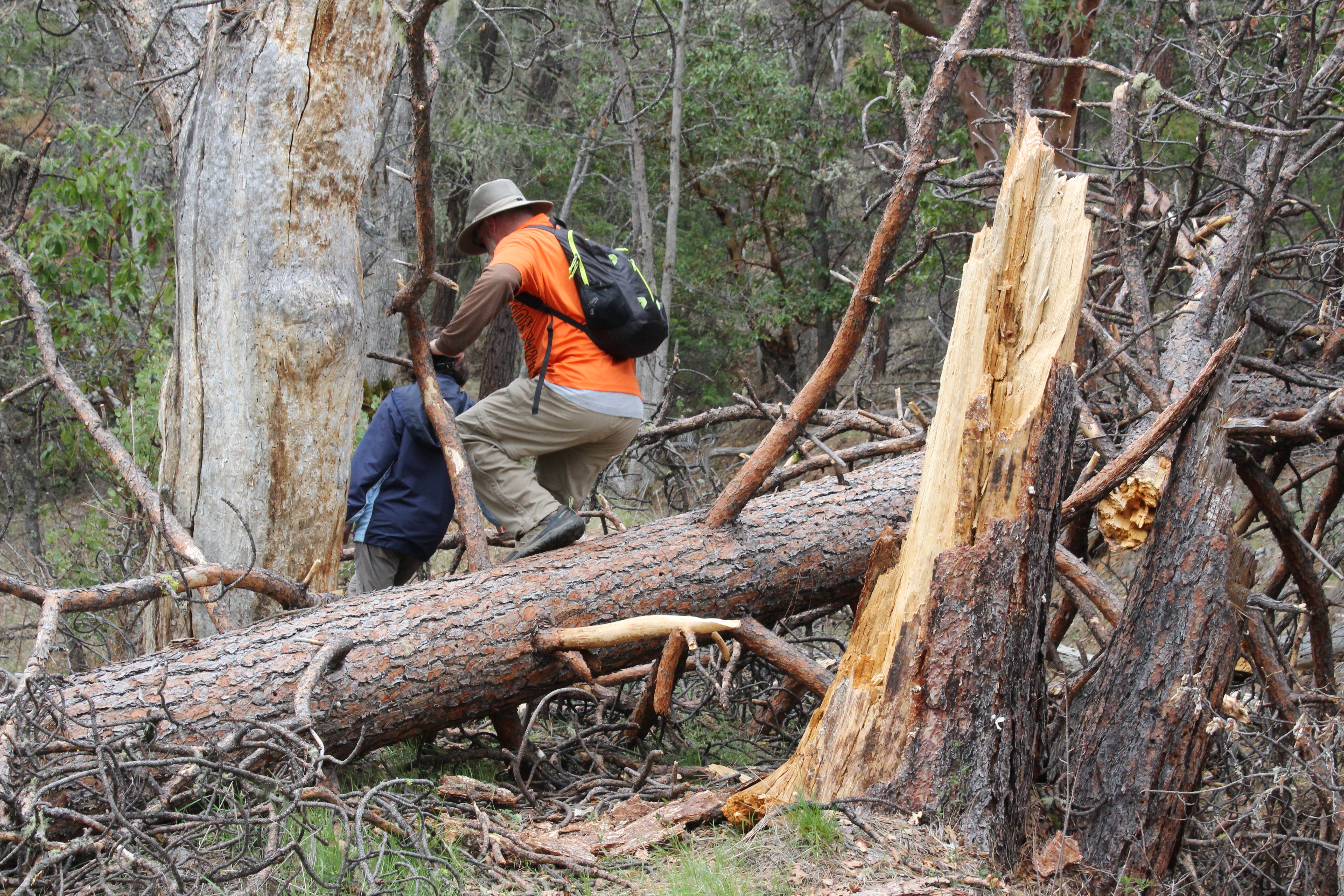
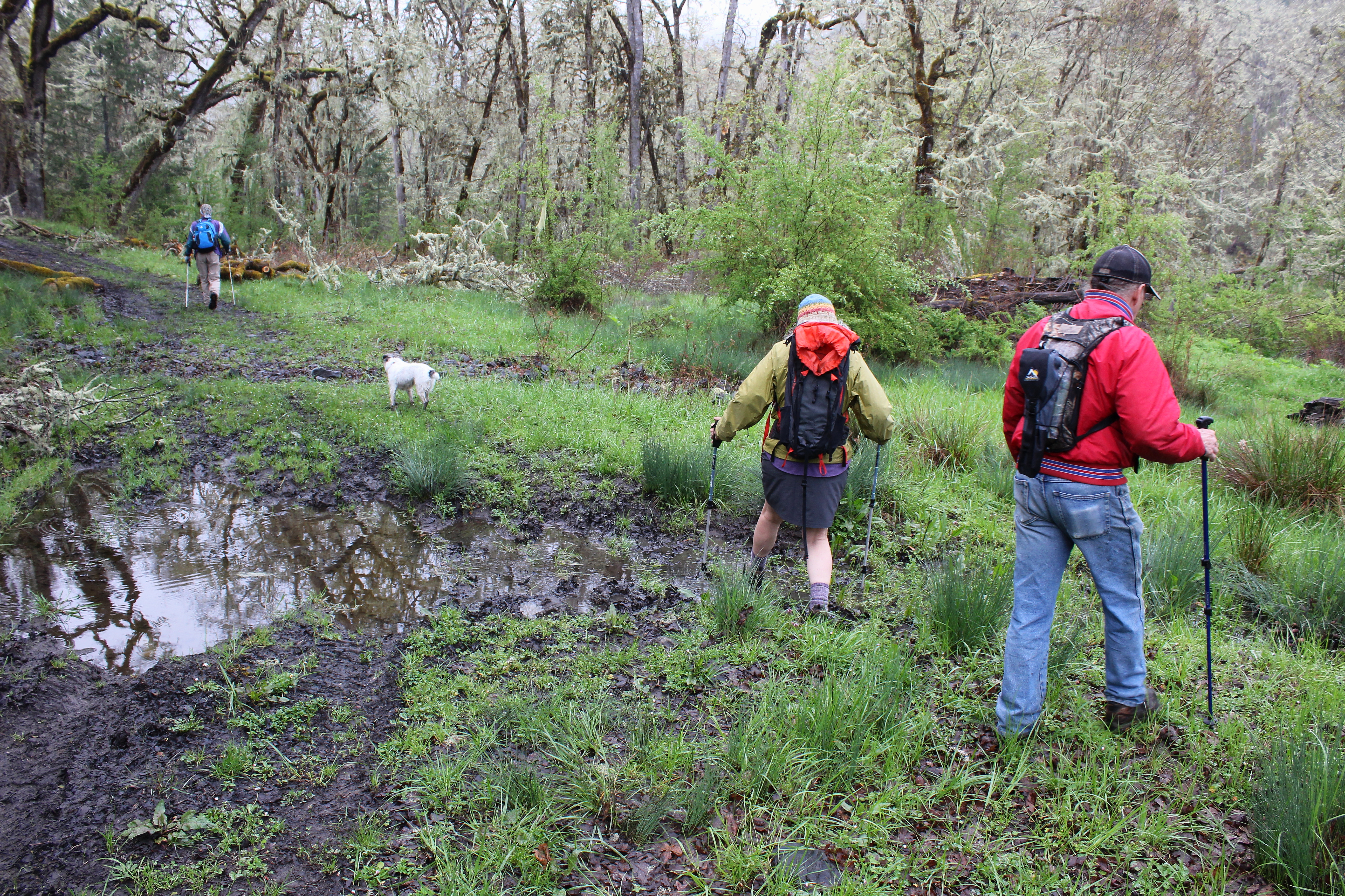
Hike Coordinator – Richard O’Neill

Narration by Richard O’Neill

This was an adlib hike the entire way. The original destination was Yellowjacket Loop but the road was blocked by winter debris and inaccessible. To further complicate matters, the erstwhile hike leader injured a knee so a new hike leader (Richard) and destination (North Bank Habitat) were recruited. Seems like every time Richard leads a hike, it rains and today was no exception.

Well, maybe rain is the wrong word. We weren’t pelted with fat raindrops gravity bound, but the air was decidedly liquid and artificial gills were required. With all the water swirling round, it stood to figure that Soggy Bottom would be just that, and it was. Boots were wet before long and then they were muddy as the soggy road sucked at our boots. We had two hiking veterans and two newbies and all of us were California ex-pats. Missy didn’t know what poison oak looked like and with all the ample red-leafed growth flanking the trail, she quickly learned to spot the accursed shrub. “Gosh, it’s everywhere!” she was heard to utter.

That’s why we stay on the trail, folks, and I don’t think any of us were unduly exposed to future itchiness from brushing up against the Devil’s favorite shrub. The trail climbed steadily uphill, soon leaving the forest behind for open windswept grassy slopes. Now we were unduly exposed to the elements and if we weren’t wet then, we were now. Despite the low cloud cover, the views of the creek valleys heading into the North Umpqua impressed.

Because of the weather, we “shorted” this hike too, dropping off the North Boundary Ridge into more sheltered Blacktail Basin. A good-sized landslide had taken out the trail but we safely scrambled over. 7 miles on a rainy day wasn’t bad and we all had a good time in spite of or because of the weather. 

More about this hike on Richard O’Neill’s Blog

More picture on Richard O’Neill’s Flickr page

Pictures below by Richard O’Neill

Sterling Mine Ditch Trail – April 6, 2019

Hike Coordinator Richard O’Neill

Narration by Richard O’Neill

Another hike, another rainy day forecast. However, we really skated weatherwise because the only rain on the day was on the drive to and from the hike. The day was overcast and the temps cool and just perfect for hiking.

Sterling Mine Ditch is the remnants of a flume ditch hewn into grassy slopes, the purpose to siphon water into the hydraulic and placer mining activities in the late 1800’s. Today, the ditch is still eminently visible and its banks make for a nice trail for the hiking and mountain biking crowd. The steady grade means the trail is mostly level, although there was a pretty good uphill pull when the route left the ditch and contoured around some private property.

The windblown slopes were sparsely vegetated, consisting mostly of yet leafless oaks, madrone, and manzanita, but mostly it was grass. The lack of vegetation allowed for what normally would be expansive views of the Siskiyou Mountains. We could see down the deep Little Applegate valley all the way where it joined up with the much larger Applegate Valley. Wildflowers were beginning to bloom and we all enjoyed our first look at the elegant grass widows and Henderson’s fawn lily.

At about the 5 mile mark, we stopped to visit the Sterling Mine Ditch tunnel. Because Tunnel Ridge was too formidable an obstacle to dig a ditch around, a tunnel was cut into the intervening ridge. We all felt sorry for the workers (mostly Chinese laborers) who did the actual work of boring through the ridge.

A short walk down the exceedingly beautiful Tunnel Ridge Trail delivered us to the end of this hike.

More about this hike on Richard O’Neill’s Blog

More pictures on Richard O’Neill’s Flickr page

Pictures below by Richard O’Neill

Scroll Up