Cowhorn Mountain – August 2, 2025
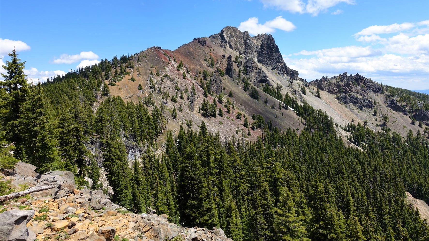
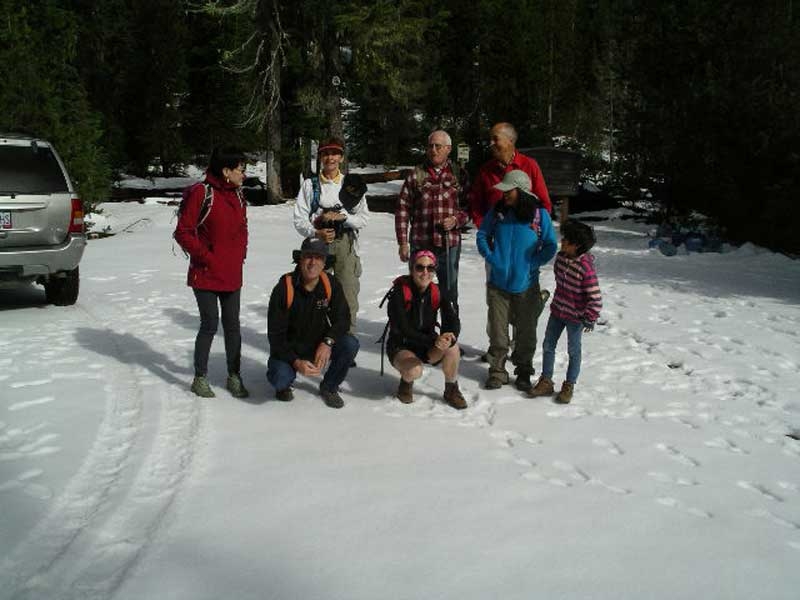
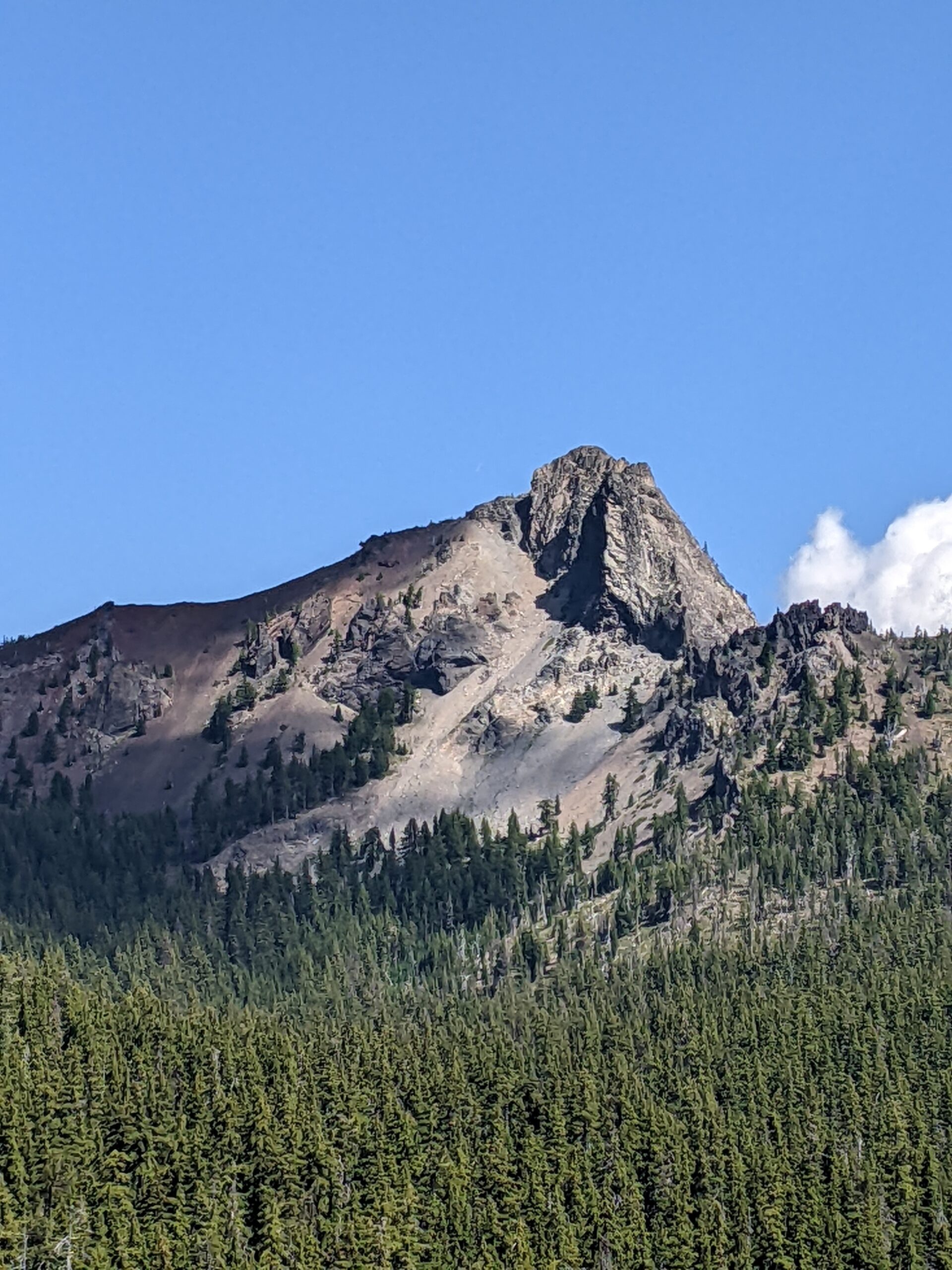
Hike leader: John Malone Narration by Terry Andreucci Cowhorn Mountain is certainly a challenging hike! A 9.4 mile out and back with an elevation gain of 1900 feet. The reward at the top has spectacular views of the surrounding area. As we worked our way to the summit we were engulfed in an amazing migration ………….click here to read more.