Pine Bench – May 23, 2026
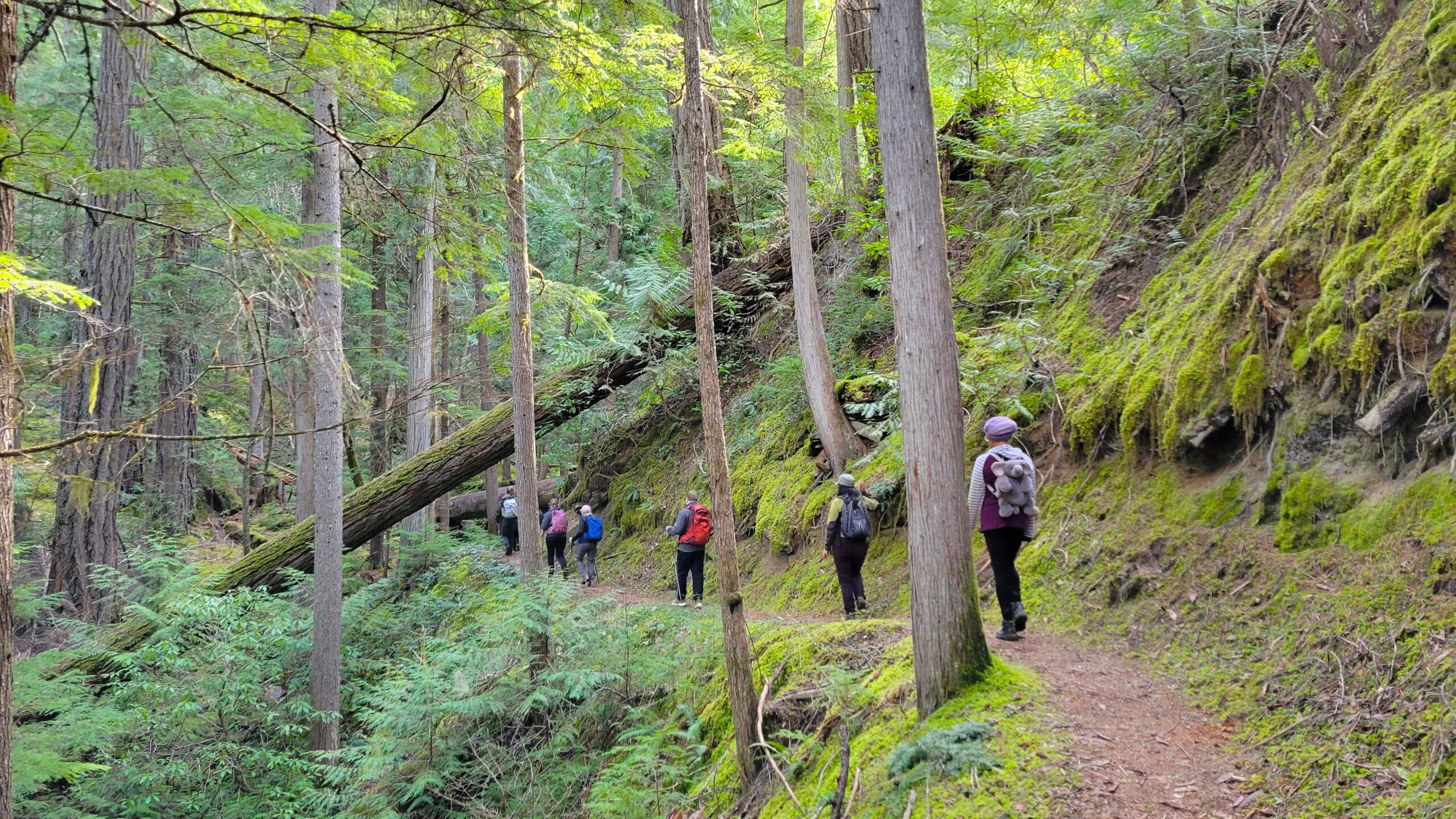
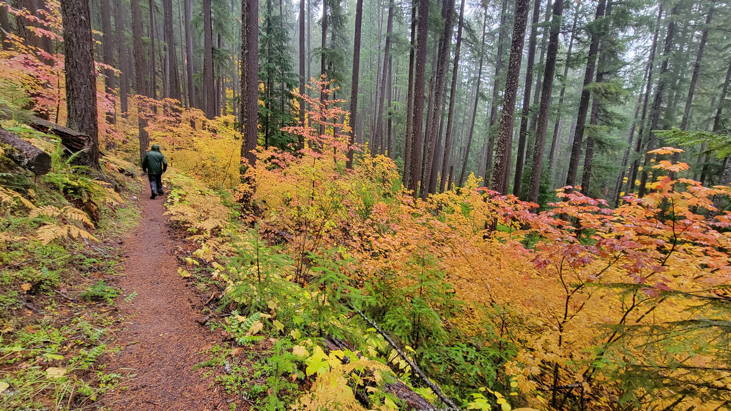
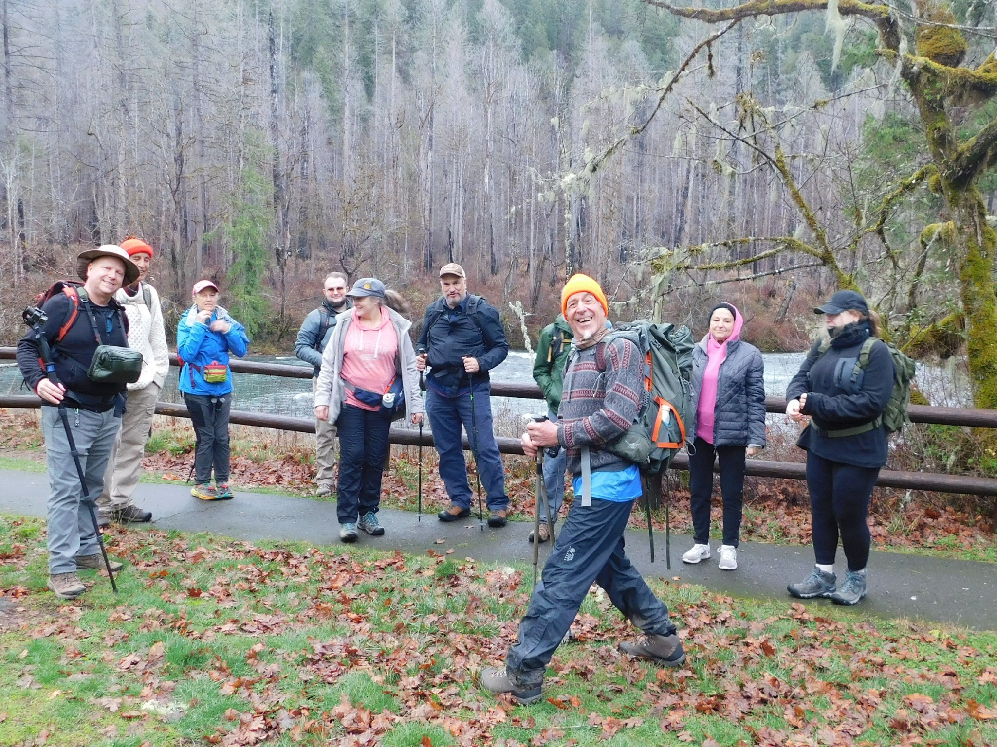
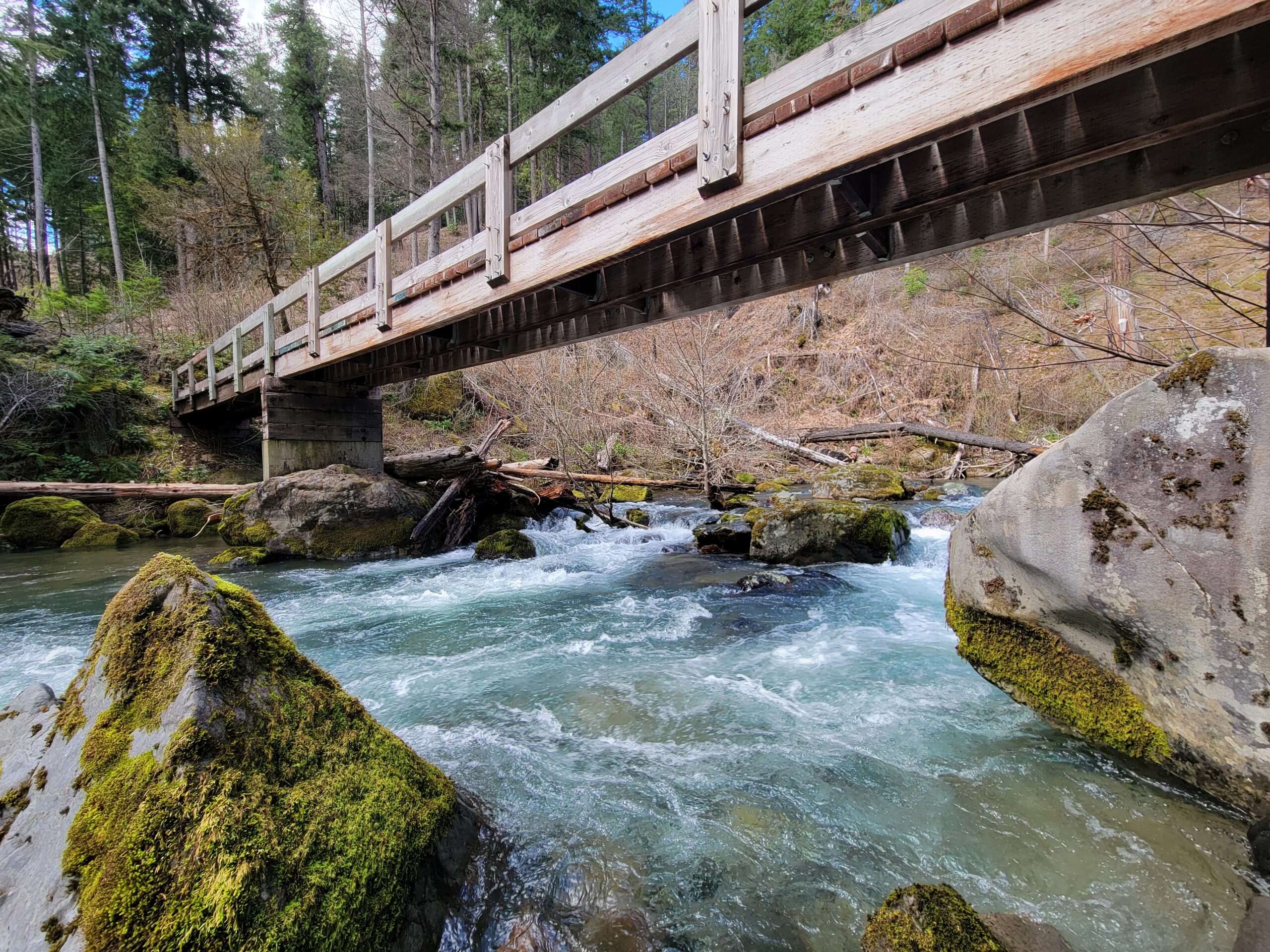
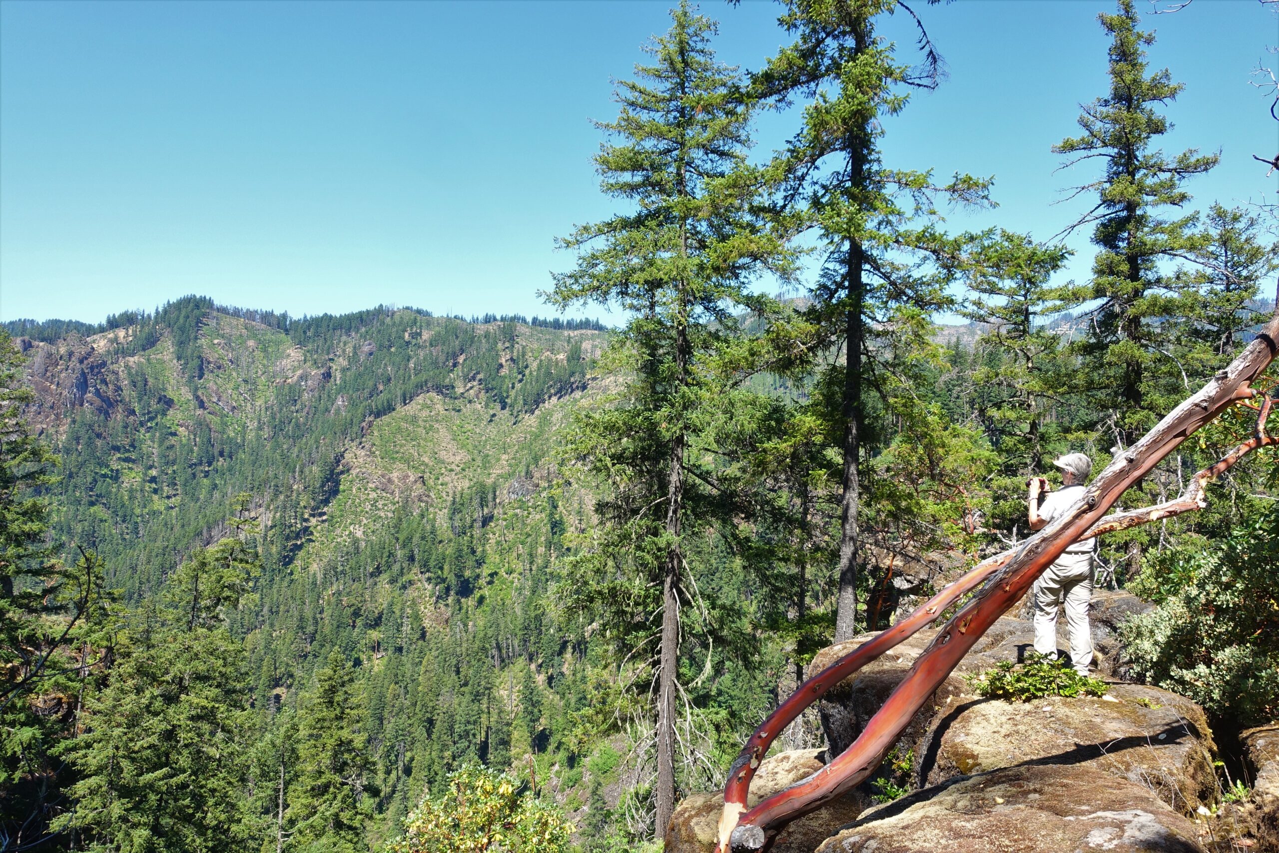
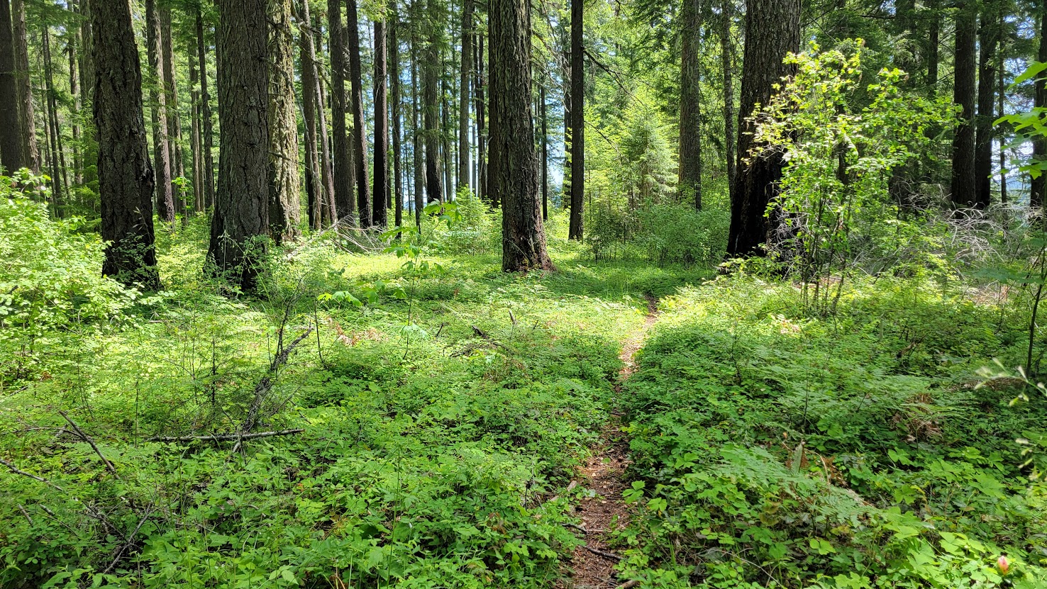
Hike coordinator: Lane Harris Narration by Lane Harris Ten of us showed up for the walk along Pine Bench, which is the easy part of this hike… but getting there took some effort! Most of the hike is through an old burn zone, but plenty of life has returned here, and not everything was blackened ………….click here to read more.