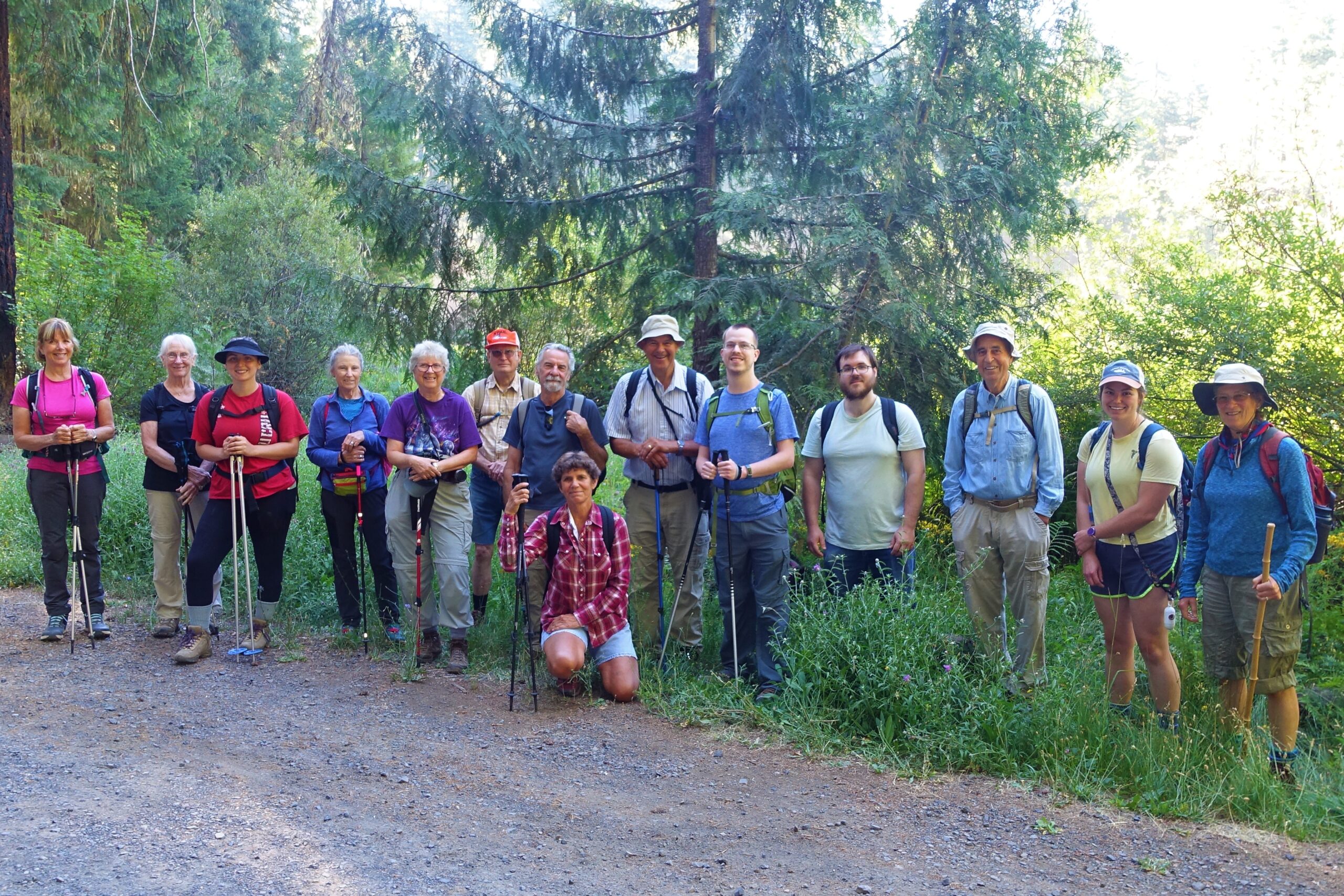
Hemlock Creek – July 22, 2023
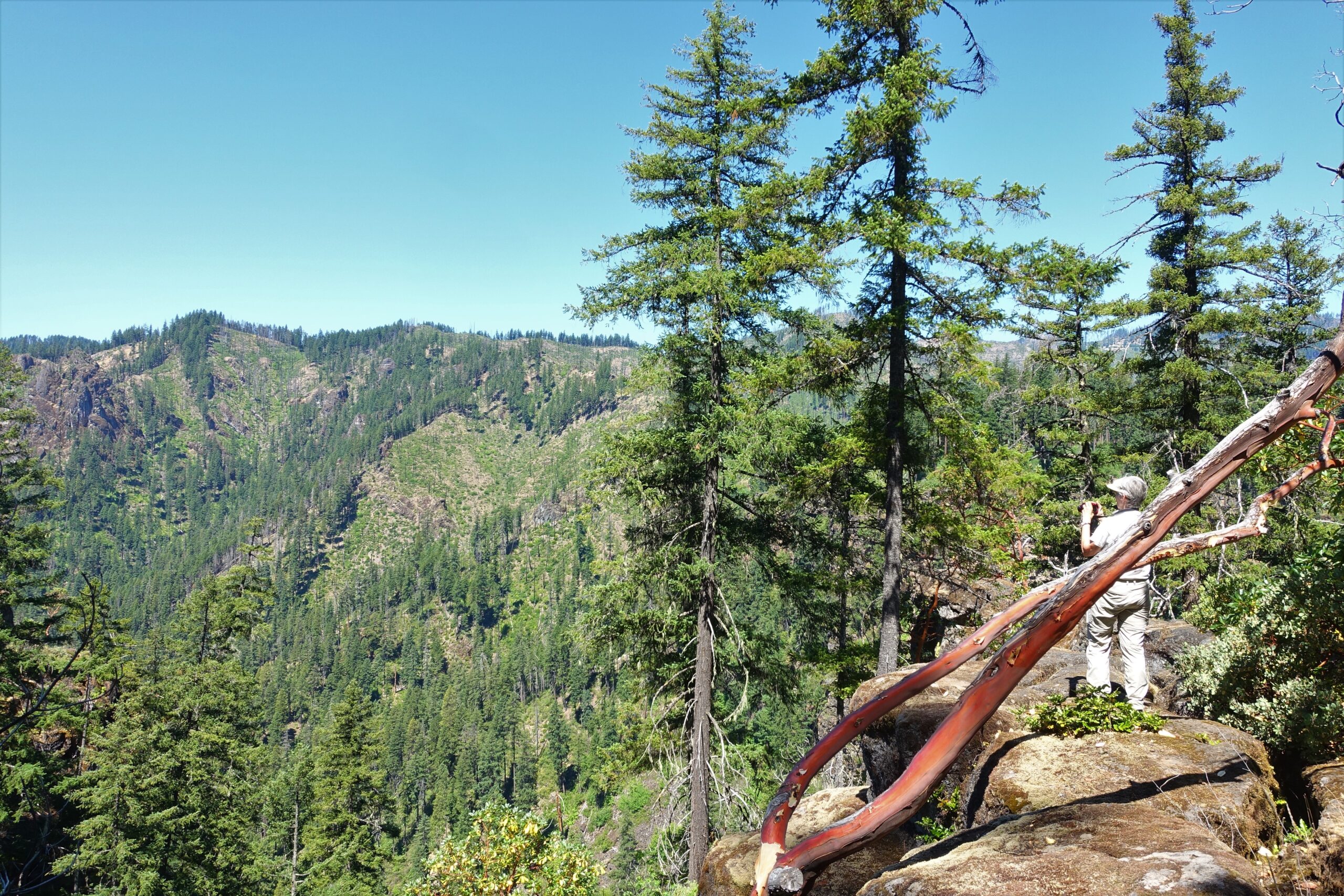
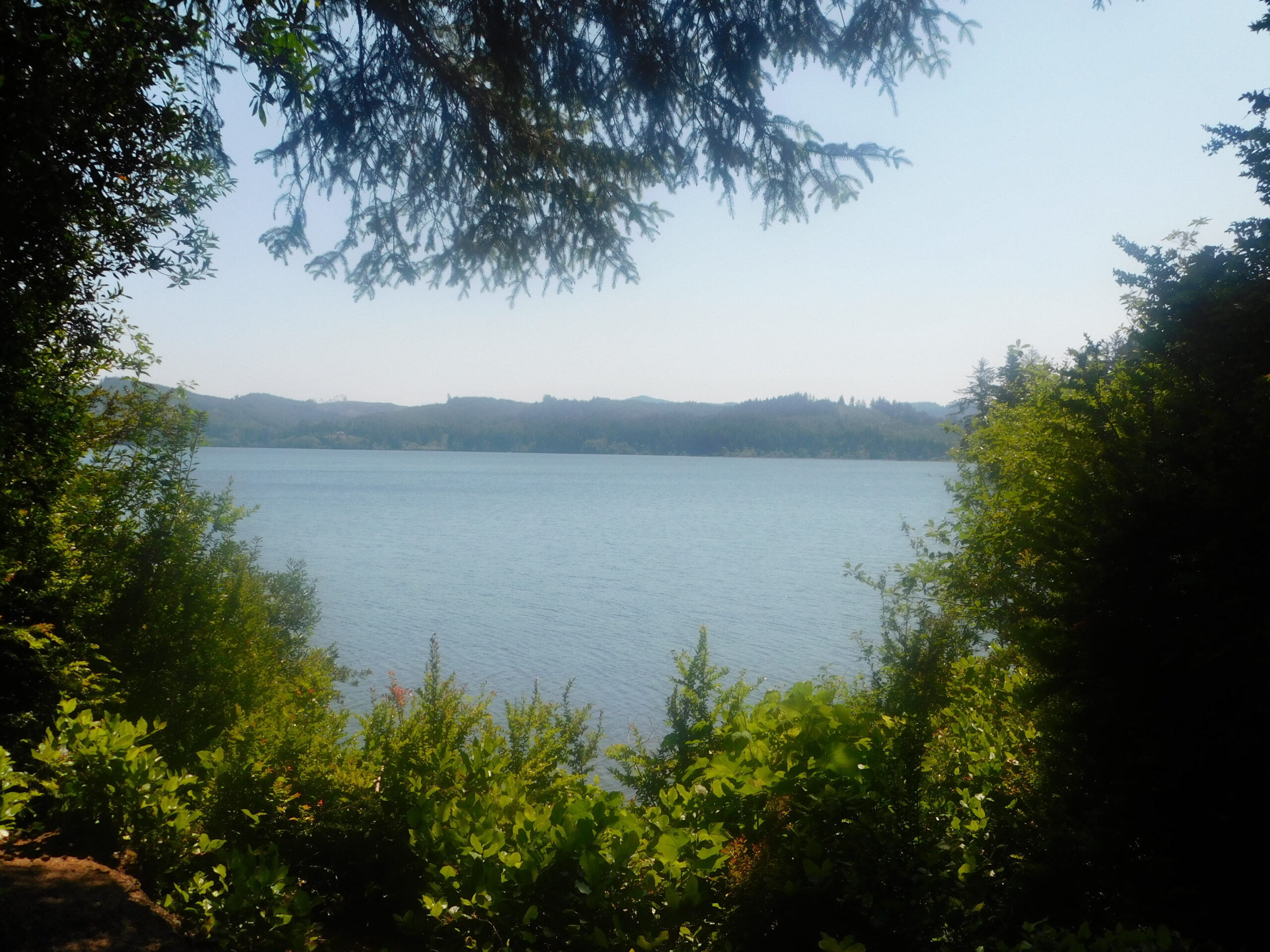
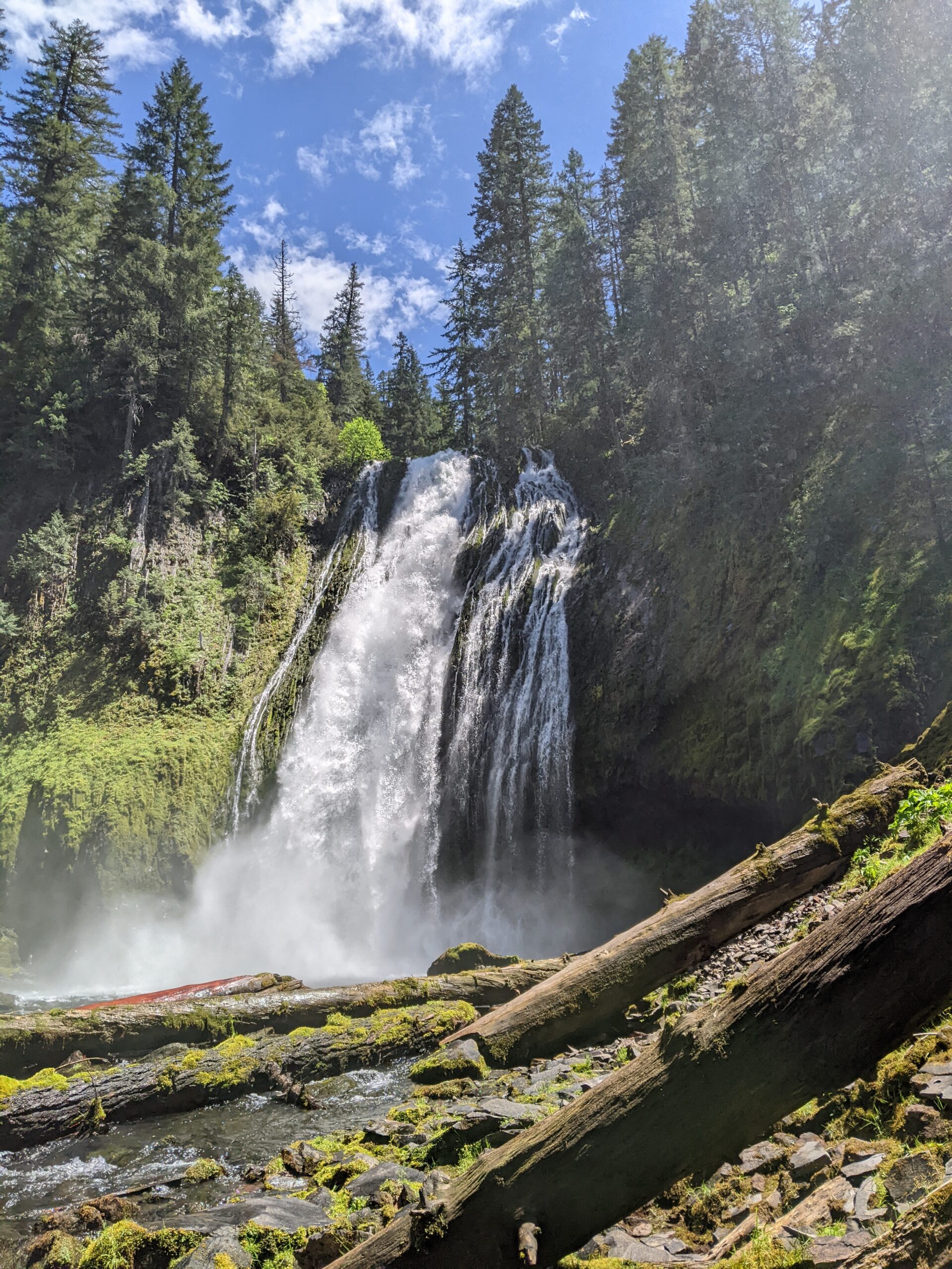
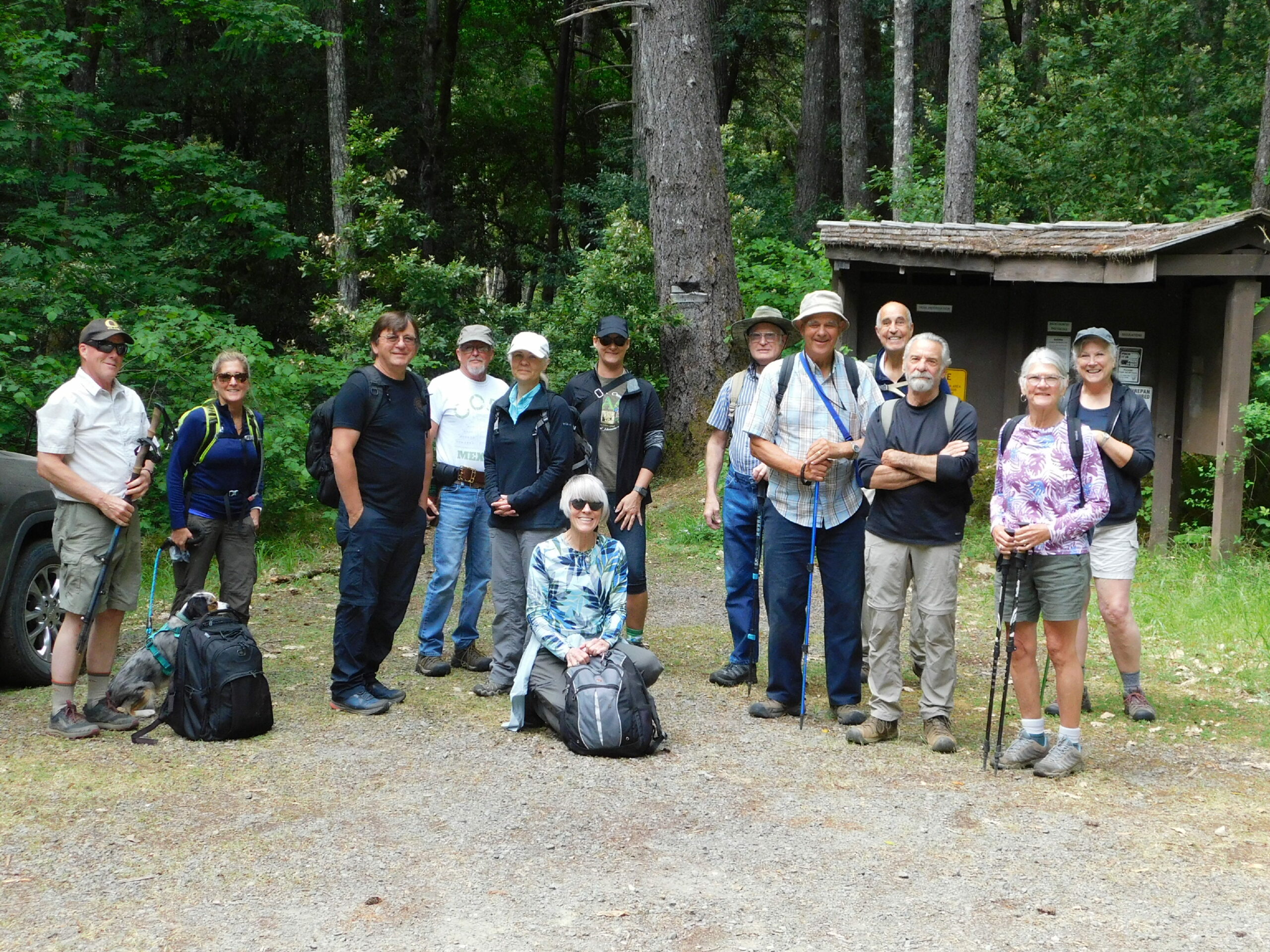
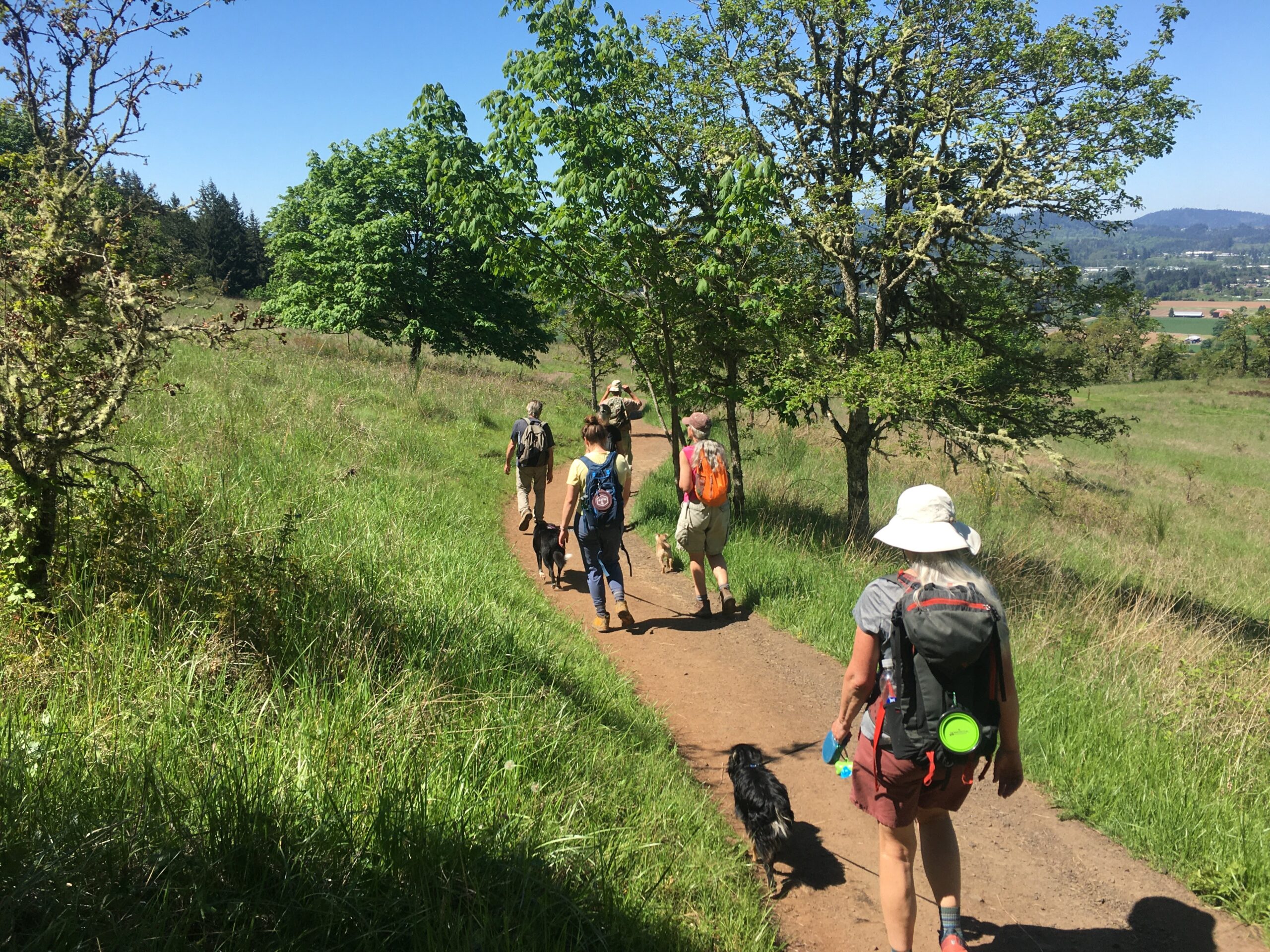
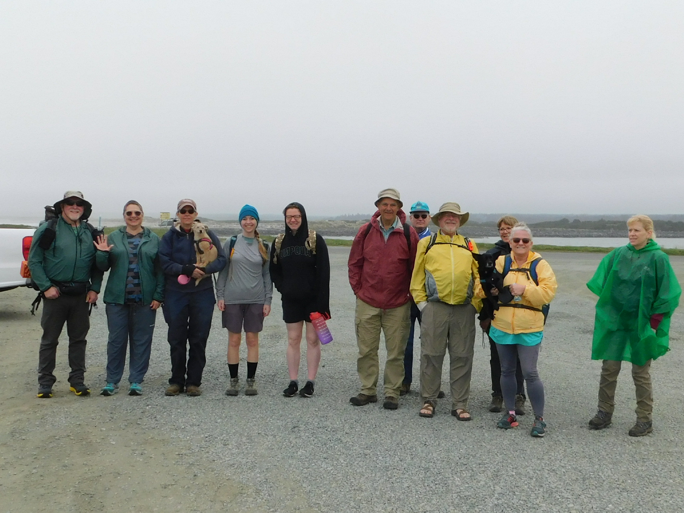
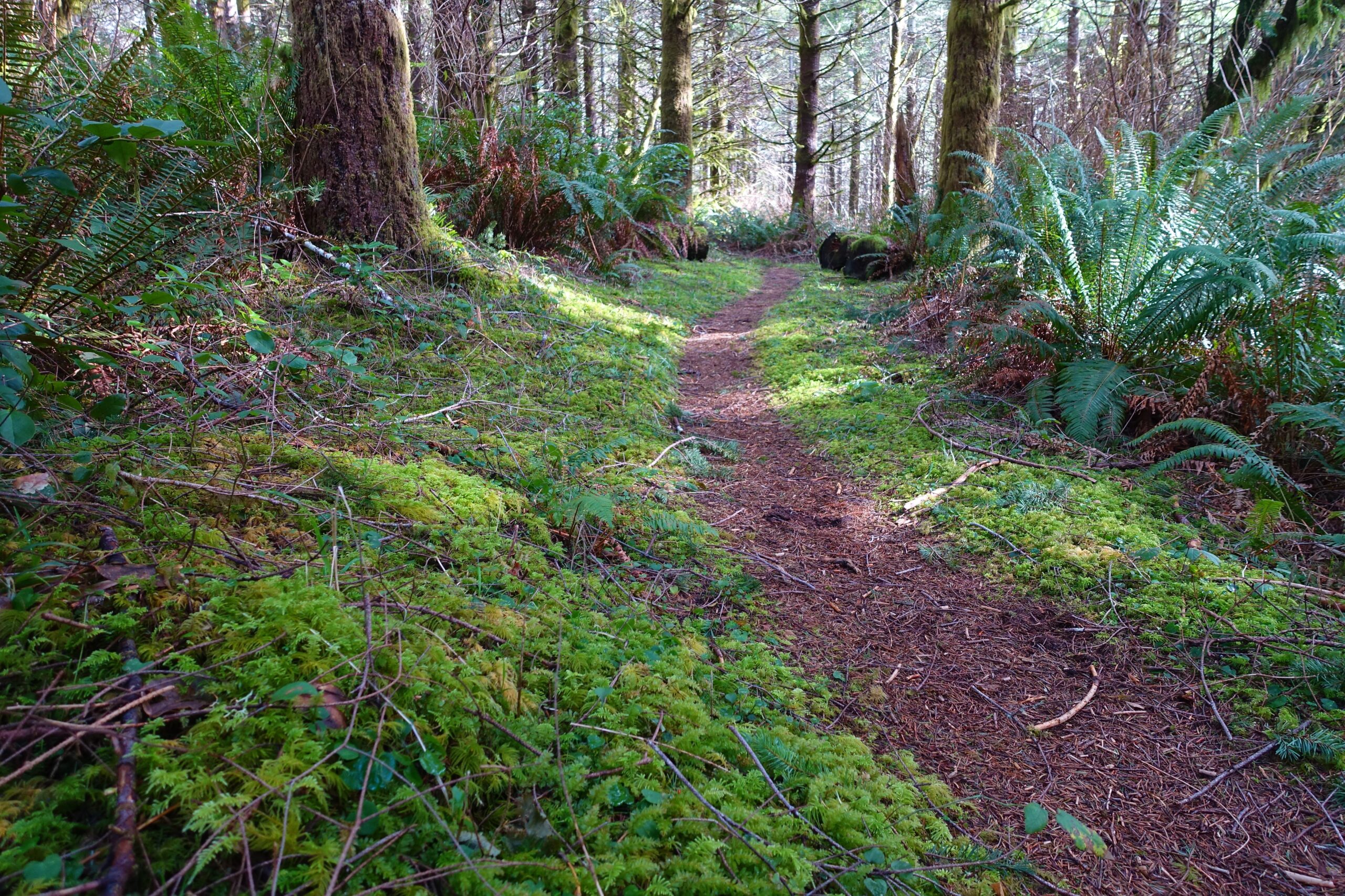
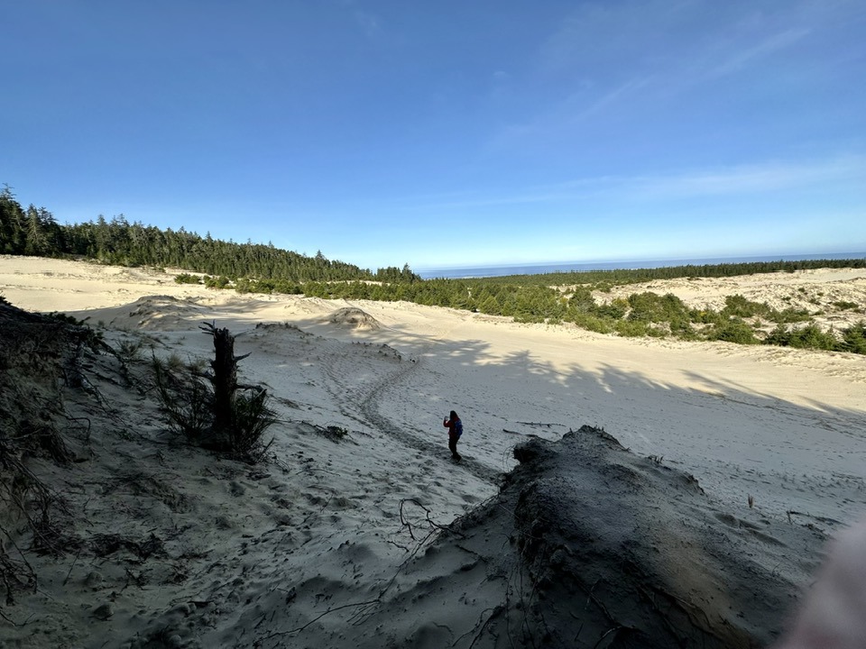
Hike Coordinator: John Malone Narration by Lane Harris On a late July day, Hemlock Creek Trail offered a challenging but rewarding hike, starting in the cool surroundings of Lake In The Woods. As 15 of us gathered for John’s 8.8 miler, we charged immediately up the forested trail with vigorous enthusiasm. Then we found a ………….click here to read more.