Kentucky Falls – May 9, 2026
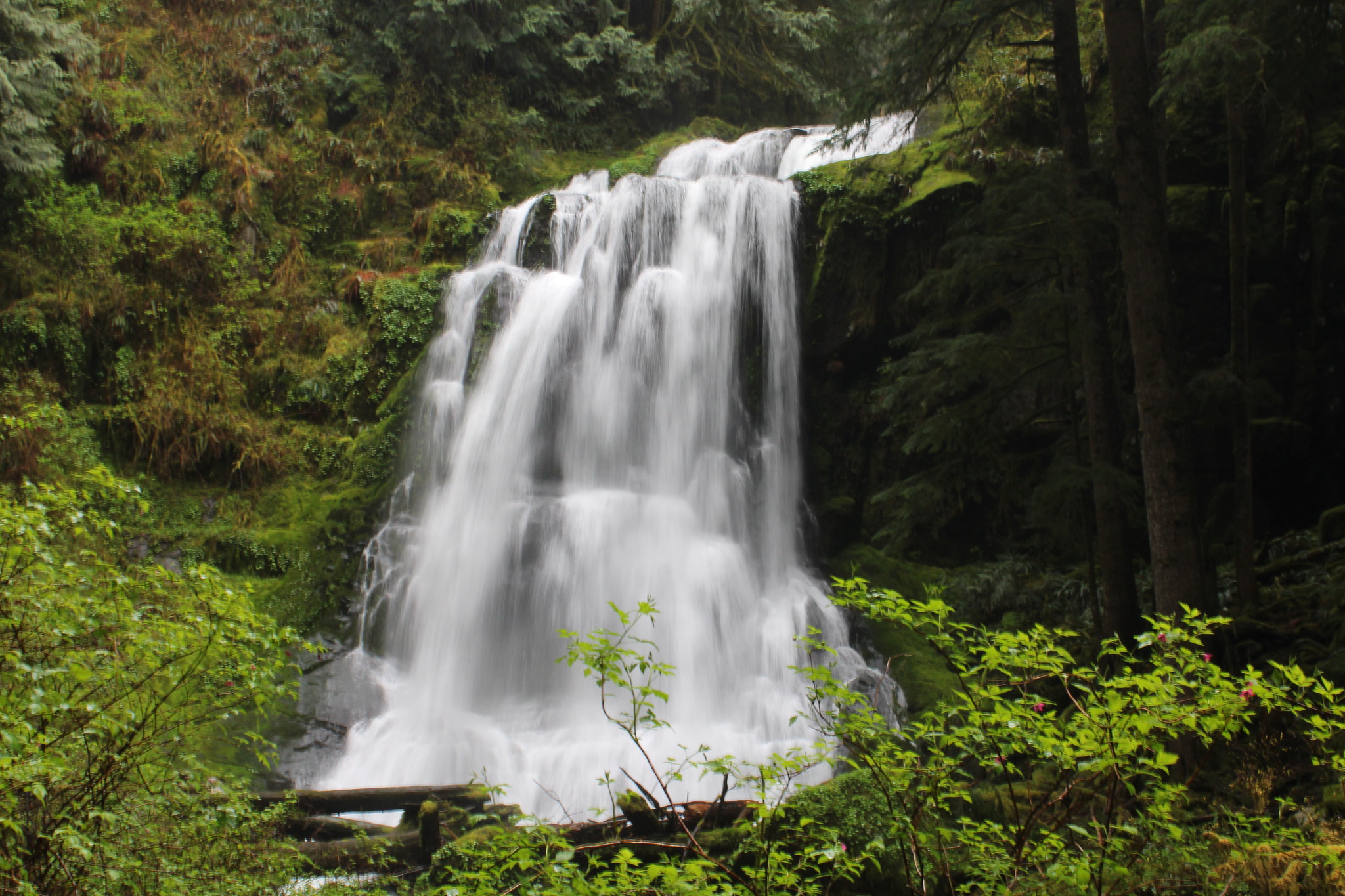
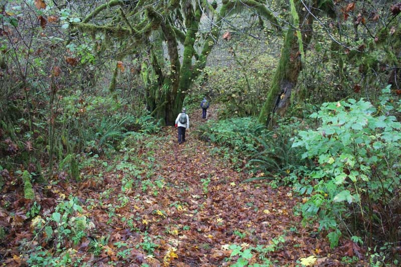
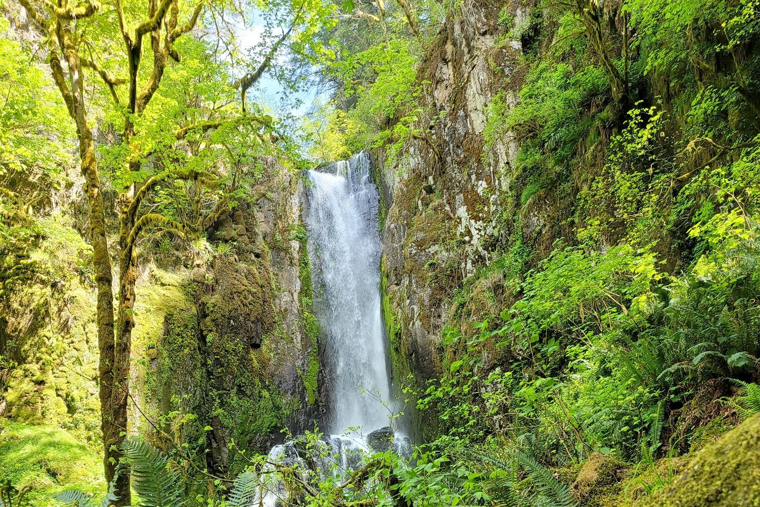
Hike coordinator: Penny Groth Some very lucky hikers got to experience a lush forest with rampant greenery and spring wildflowers on their way to Upper and Lower Kentucky Falls. It was a perfect spring day for a waterfall hike! Pictures below byRheo WheelerandAngela Swanson Click here for all Kentucky Falls hikes