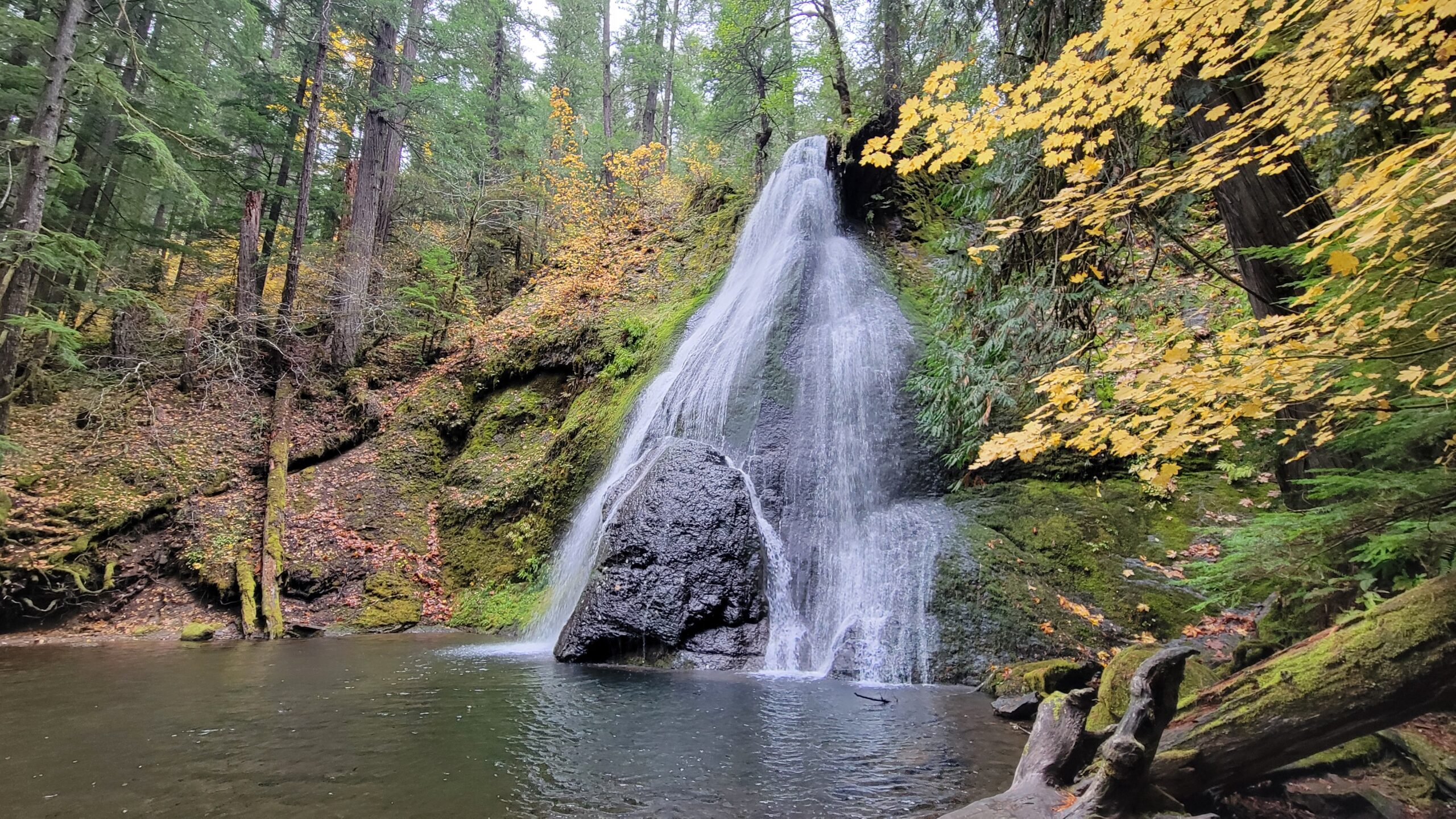
Rogu-Umpqua Divide Trail: Three Lakes – August 19, 2023

Hike Coordinator: Lane Harris

Narration by Lane Harris

On the far eastern end of the Rogue-Umpqua Divide Trail lies Three Lakes, if in name only. In reality, there’s really only one lake, but even then, it barely qualifies as a pond. Perhaps in the past there were two other small bodies of water, but it appears those have all but dried up and turned into meadows.
This was our destination, nonetheless, so the route to get to this large puddle of water had better have some decent scenery. Fortunately, it did. With a hint of wildfire smoke in the air, we made our way through large meadows, tall forests, and several small creeks. This made the 9-mile hike worth the effort.

Pictures below by Lane Harris

Maidu Section: N.U.T. – August 5, 2023

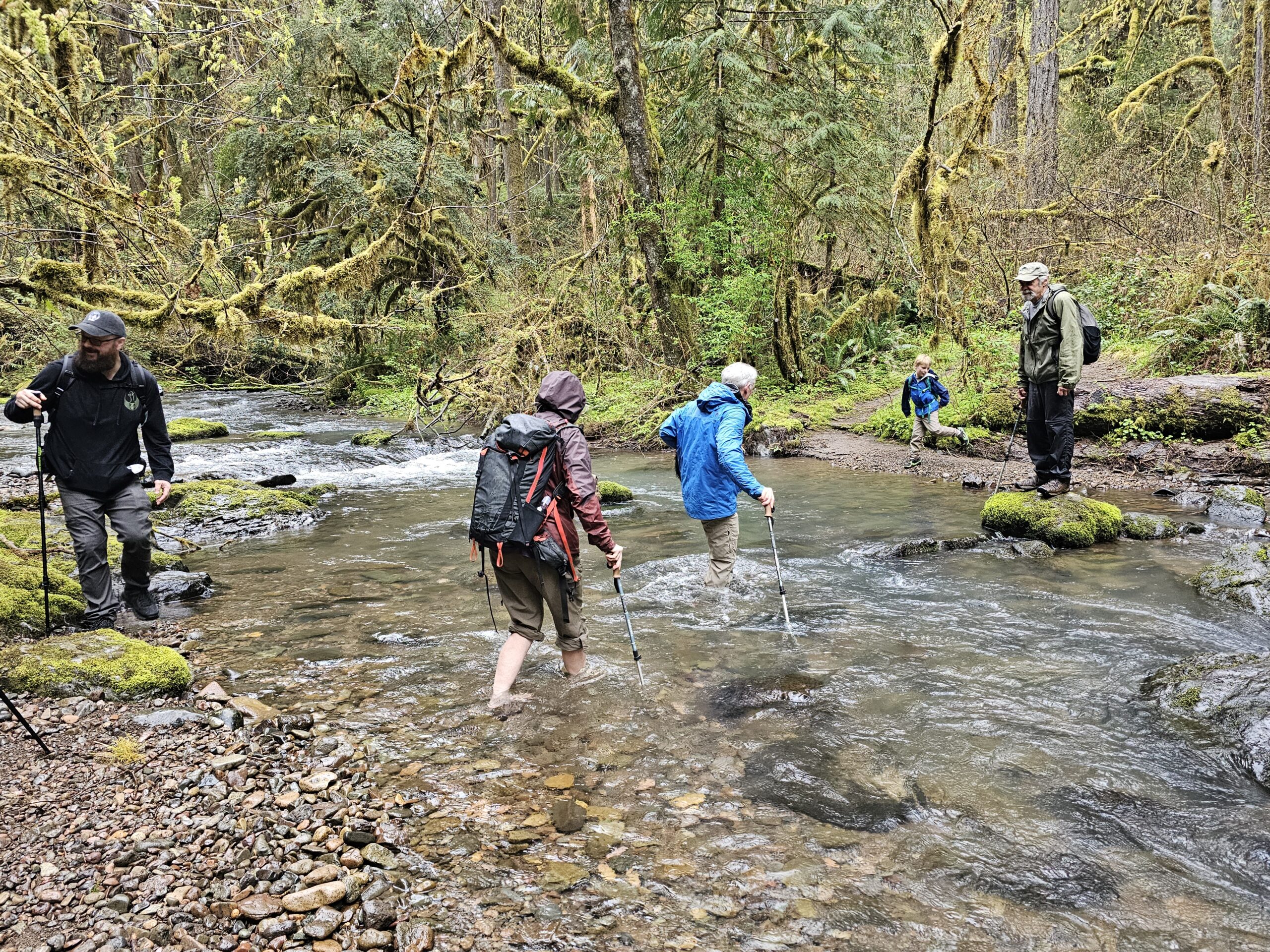
Hike Coordinator: Penny Groth

Narration by Penny Groth

Seven hikers gathered at the courthouse.  My first comment to them was, “Everyone knows we’re not doing Bohemia Mountain today due to smoke, right?”  Ha! Yep, we’re all on the same page!  Good start!

It was a beautiful drive up the North Umpqua, a bright blue sky.  So good to see after periods of smoke that week.  After a mid-road turn around (what’s a great day of hiking without “turn around, follow me”…) we found the trailhead.

We parked on FS road 60, then began our trek up trail 1414.  This is technically the Lemolo segment of the North Umpqua Trail.  It follows the North Umpqua River in the beginning.  This is a much smaller version of said river, a very pretty, meandering version as we are not that far from its beginning (Maidu Lake).  Vegetation was very lush and wet because of a full day of rain the previous day.  Mosquitoes were pretty thick, big and hungry.

About 2.25 miles up the trail, it changes in name to the Maidu segment.  We crossed Tolo creek and continued.  The trail began to climb and become dusty.  At approximately 3.5 miles, the hungries got us and we found logs in the sun (to avoid skeeters) to enjoy our lunch.  Always fun, intellectual discussions with friends such as the best compliment to a peanut butter sandwich!  Heading back down, we reached Tolo Creek.  John stated he’d never been up Tolo Creek, so off we went on an adventure.  What a great little find!  A small gentle creek with ripples and small waterfalls.  As the trail left the creek and went up, discussion began.  Well, we do have to hike back out!  So, our return began.  We hiked about 11.75 miles.  A great day of hiking and adventure!

Pictures below by Penny Groth

Pine Bench – July 8, 2023

Hike Coordinator: Lane Harris

Narration by Lane Harris

While classic car enthusiasts sat around admiring hot rods, flatbed trucks, and the like during Roseburg’s Graffiti week, some of us opted to just sit around on Pine Bench. Literally, that’s what we did. But we had to get there first. Although not a strenuous hike, the first mile climbs nearly a thousand feet, which made all the hikers who joined me on this day wonder what they had gotten themselves into.

As the group of about 15 of us left the Soda Springs Trailhead just below the Soda Springs Dam (like, it would be somewhere else?…) This short trail intersects with the Bradley Trail, at which point we turned westward. I informed the group that the first mile was the toughest, but that it would be smooth sailing after that. From the viewpoint of my fellow hikers, that comment seemed to be more myth than truth as they huffed and puffed up through the shaded forest. I honestly didn’t think they believed me. But to everyone’s relief, the trail did eventually level off some, but not until we made one last push through a burned area that was exposed to the already hot July sun. I think I just hear someone click “dislike” on this hike…

Redemption for me came when we entered the plateau of Pine Bench after that uphill drudge of a thousand feet. The shade of the tall firs and pines, along with the levelness of the trail got me back into everyone’s good graces. Up here, in this park-like setting, it’s hard to be despondent about anything. It’s one of those places that you could imagine being a pleasant park, or a nice wooded campground. That is, if there were any roads up here. There isn’t. It’s wilderness. Otherwise, I would’ve drove here.

The serene trail that runs east to west here eventually intersects with the Boulder Creek Trail, which heads deep into the Boulder Creek Wilderness. We would only be going about a half mile up to where a small campsite offers some nice cliffy views well above the creek below. It pleased me to see that some trail work had been completed here. A year and a half ago when Colby and I hiked up here, the small side trail to the campsite was passable, but overgrown with brush. Trail work these days is not as common as it used to be, and us hikers truly appreciate any and all efforts that others have put forth to making these paths hiker friendly.

It was near this campsite where we sat upon the world’s largest pine bench to eat lunch. After sharing a few stories and laughs, we commenced the walk back across the “flatueau”. Upon reaching the trail intersection, we stayed on the Boulder Creek Trail which immediately charges straight downhill. Looking back, I think I would’ve led the group back down the Bradley Trail, as it was apparent that the trail workers neglected to clear out this portion of the Boulder Creek trail that heads downhill. It was still in good shape, but there were areas where we had to do some brush-dodging in order to avoid getting whacked in the face by the branches. Also, there wasn’t much to look at here. And it’s rather steep with many switchbacks. My recommendation? Just avoid this portion of the trail. And you’d truly hate yourself if you attempted to go UP this part of the trail!

We soon reached the North Umpqua Trail and headed upriver back to the parking area. This 2-mile stretch is really a road and not a trail, and doesn’t offer much more than the sound of the river with no good views. Just another reason that I should’ve done this hike as a straight out and back hike instead of a loop. That being said, any day hiking is better than any day working!

We got back just as the mercury was hitting the mid 80’s. Some of us cooled off with water that was pouring from a breach in the nearby water flume. After a 6-mile hike in the middle of summer, it’s just what you do.

Overall, I think everyone enjoyed this tour of the world’s largest pine bench. It’s not a stroll through the park, but with some effort, anyone can make it up to Pine Bench and take a stroll through an environment that is very park-like.

Pictures below by Lane Harris

Siltcoos Lake – June 24, 2023

Hike Coordinator: Edwin Case

Narration by Rheo Wheeler

Thirteen gathered for the hike on the Siltcoos Lake loop trail with Edwin leading us counterclockwise on the loop. The weather was perfect under the shade of the lakeside forest. We had a pleasant lunch spot on the lake with much lollygagging and storytelling before the finish of our loop. Others headed over for a stroll on the beach after our 4.1-mile loop, which may have been challenging since there was a huge gathering for an ATV takeover of the beach, unbeknownst to us.

Pictures below by Rheo Wheeler

Lemolo Falls – June 10, 2023

Hike Coordinator: Terry Andreucci

Narration by Terry Andreucci

After a hour and half drive to the trailhead, 14 enthusiastic hikers started down the North Umpqua Trail to the top view of Lemolo Falls. In 1908, two rangers on horseback named a four-mile ridgeline south of the river as “Dread and Terror” in reference to the disagreeable possibility of fighting forest fires in the impenetrable thickets of white thorn brush blanketing the area. For us, in this day and age, it turned out to be a beautiful, 4-mile out and back along the North Umpqua River with no thorn brush in sight! Views included cascading rapids and small falls culminating at 102-foot Lemolo Falls.

After stopping for a lunch break, we regrouped at our vehicles and proceeded a few miles to the next trailhead that would take us to another perspective of Lemolo Falls.
This hike took us a mile or so down the opposite side of the river canyon in a series of switchbacks that led us to the bottom of the falls. Along the way, many rhododendrons and wildflowers were in bloom providing a splash of color. The raging sound of the falls and the huge clouds of spray provided a spectacular visual and auditory extravaganza!

I must admit this was my favorite viewpoint!

Pictures below by Terry Andreucci

Bandon Beach – April 29, 2023

Hike Coordinator: Rheo Wheeler

Narration by Rheo Wheeler

The day of the hike was overcast, but sun was forecast by afternoon. Unfortunately, that did not include the Bandon beach area. Nevertheless, we had 10 from the Roseburg area head off for the coast, and we met 2 from the Striders at Bandon.

We were lucky to have hard sand after leaving the jetty area, so the 4-mile southward trek was relatively easy. We had 3 creeks to get through though, so feet got wet. Not much wind to speak of either, so a rather pleasant wander down and back which covered about 8 miles.

The tide had receded on the way back so there were a few tide pools to explore, and seals with pups lounging on the rocks just offshore. There were rewards after the hike of strolling Bandon, and I’m sure it also involved ice cream.

Pictures below by Rheo Wheeler

Cape Mountain – April 15, 2023

Hike Coordinator: Lane Harris

Narration by Lane Harris

The Cape Mountain Trail system in the Siuslaw National Forest just north of Florence provides hikers and equestrians alike with a variety of options. Cape Mountain itself is not the destination, but the area around it is. With a multitude of intersections here and there, there are many different ways to hike this wooded place.

On this day, our group took the Princess Tasha trail to the Berry Creek trail, then the Nelson Ridge trail back to the trailhead. Although only a few miles from the Pacific Ocean, the dense forest here makes hikers feel like they’re a world away from any ocean. Only when you’re on top of Nelson Ridge can you see the ocean in the distance. It was here where we stopped and had lunch before continuing on.

Although there are no grand vistas, the solitude of this place is well worth the drive to the trailhead.

Pictures below by Lane Harris

Tahkenitch Dunes – April 1, 2023

Hike Coordinator: John Malone

Some foolish hikers decided to trek through the sands of Tahkenitch Dunes this April Fool’s Day. Ok, so maybe it wasn’t so foolish, as it was a gorgeous day for a hike on the coast! This club favorite has a little bit of everything, from lush forests to sandy dunes and of course, the beach. Always a crowd pleaser, the variety of terrain keeps hikers coming back for more.

Pictures below by Tami Morin

Rogue River Trail – March 18, 2023

Hike Coordinator: Terry Andreucci

Narration by Lane Harris

On this marvelous March day, Terry had at least a dozen hikers make their way to the trailhead near Graves Creek to hike the always-lovely Rogue River Trail from the boat ramp to Whiskey Creek and back. With a handful of man’s best friend tagging along, not a dull moment was had this day.

There was a chill in the air when the large group started, and right away we were traversing the small swollen creek that runs near the parking lot. Unbeknownst to us, this would be a small practice run for what lay further ahead on the trail…

This was one of those days where everyone had their rain jackets on, as there was that feeling in the air as if it may rain at any moment. But just like when someone puts a near-empty milk carton back in the fridge, barely a drop was to be had. We experienced some grey skies and some sun. Kinda perfect weather, really. Cool, but a little sun to keep you warm when not hiking.

As we made our way down the trail, there were several creeks which required some clever negotiating. The recent rains and snow had made all the local creeks absolutely engorged with water! Looking across the river, one could make out many waterfalls cascading off the hillsides, with snow still present on the highest part of the hills.

At one point, we all had to make a short scramble off below the trail to avoid the rushing water that had pretty much inundated our path. To attempt walking down that watery way would have been quite risky, with the slippery footing underneath surely having the last laugh. Thankfully, no hikers were smitten by the water gods this day.

Normally, all the wildflowers are just bursting with color this time of year. But due to the long, late winter we’ve had, the flowers were just starting to do their thang. Give this place another a few weeks or so and the real show should be in full swing!

After successfully crossing multiple creeks running across the trail, we eventually reached Whiskey Creek cabin. As the group did a self-guided tour of this historical site, I was doing a little looking around too, and found a geocache, totally unintentionally! It was an ammo box locked to an old cable just uphill from the cabin. With curiosity, I took a quick look inside, then placed it back where I found it. (TIP: If you ever stumble upon a geocache and are not actually participating in the sport, please be courteous and leave it where you found it so others who are looking for it can find it) I always thought geocaching would be a neat thing to do, but just haven’t made the effort. You need a GPS to participate, but I typically use mine to prevent from getting misplaced in the woods!

After having a late lunch along the edge of Whiskey Creek, the group made its way back upriver. We were all spread out along the trail, just enjoying the magnificence solitude and the grandeur that is the wild Rogue River. Although we ran into quite a few other hikers this day, it just reaffirms that this place is worthy of visiting, and visiting often, as evidenced by the amount of people who walk these banks of the Rogue River Trail.

Pictures below by Lane Harris

Cooper Creek Reservoir – March 4, 2023

(Formerly known as Cape Mountain)

Hike Coordinator: Lane Harris

Narration by Lane Harris

“If the plan doesn’t work, change the plan but not the goal.”

~ Anonymous

I imagine this anonymous guy or girl must’ve had a big hike planned and had to change it at the last moment. Ok, so I guess that quote could fit almost any given situation when a plan goes awry. Regardless, it certainly applied to today’s planned hike to Cape Mountain near the coastal town of Florence, although it more or less did not come as a big surprise.

I had been watching the weather forecast all week, keeping a keen eye on Saturday. Depending on which tv channel I watched, which app I looked at on my phone, or which website I saw, they all seemed to be anticipating less than desirable conditions for hike day. Well, ain’t that a kick in the ol’ hiking pants! As the day drew nearer it was appearing, at least to me, that the gloomy forecast had lightened up a bit, and maybe it wasn’t gonna be as bad as they said it was going to be. (BTW, who are “they” anyway?…)

I was somewhat optimistic as I pulled into the parking lot at 7:45am, imagining that I would have a good little group who were eager to be adventurous and brave a little rain, and poo-poo all those so-called weather forecasters. So far it was just John and Tracy who had arrived and were ready to go. No problem, we had 15 minutes for the other hikers to arrive. Ah, here comes one now. It was Edwin. Ok, so that makes four of us. Tracy then mentioned that she was not up to driving 5 hours (roundtrip) to hike in the cold. And so began our discussion about the weather, the cold, the possible snow, rain, etc. I said, “Perhaps we should wait to make any decisions until everyone else shows up.”

It was now 8:05 and everyone else did not show up. The four of us were the “everyone else.” Oh, wait here comes another…. oh, never mind, it’s just a random car passing through the parking lot. We discussed our local hiking options, and finally settled on Cooper Creek Reservoir just east of Sutherlin. Edwin, who had previously stated that if we changed the hike that he would probably just go home, did just that. I can’t say I blame him, as he’s been there done that when it comes to all the local hikes. I sent a text to Rebekah, an interested hiker on the coast, informing her that we were not hiking at Cape Mountain today. She was going to meet us at the trailhead, and I didn’t want her waiting for us unnecessarily. So, it was just the three of us now, and with that, we climbed into my truck and sped off. We had just changed the plan but not the goal… to go hiking!

Once we were at Cooper Creek, I decided I better call Tom with the South Coast Striders. His group was also planning on meeting us at the trailhead near Cape Mountain, and I was envisioning his gang of angry coastal hikers waiting around in the rain for us mild-mannered inlanders to show up. To my relief, however, he informed me that he had only one person that was interested, so they pretty much bowed out of the whole thing. I love it when a plan doesn’t come together!

John, Tracy and I started the 6.2-mile hike around the reservoir under nasty skies. The rain wasn’t heavy, but it was cold, and even turned to wet snow for a while. There was even a bitter wind, acting all windy and such. But once we got under the canopy of the trees, it wasn’t so bad. And after maybe 30 minutes of hiking, the weather actually got better! The wind and rain ceased, and it was quite pleasant. Yes, it was still 37 degrees, but compared to what the forecast was, we accepted this as a gift from the hiking gods.

Our hike was rather uneventful, which was fine with us. Lots of waterfowl were spotted, fish were jumping, and I even saw a rabbit! Parts of the trail were a bit muddy, but that didn’t bother us at all. We were just happy to be hiking and not being drenched in cold H2O. That’s never really all that much fun, trust me, even on a Richard hike. Unsurprisingly, we did not see any other hikers this day.

Upon returning to Roseburg, I checked my phone. I had received a text back from Rebekah on the coast. Her response to my cancellation was “That’s ok, this was a mile out from the trailhead anyway.” Attached was a picture (the last one in the slideshow below) of a snow-covered road with several trees across it, blocking any would-be hikers from reaching the trailhead near Cape Mountain. 😲

Thus, our smart decision to change plans but not the goal was validated with that photo. I’ll say it again, I love it when a plan doesn’t come together!

More pictures on Lane Harris’ Flickr page

Pictures below by Lane Harris

Scroll Up