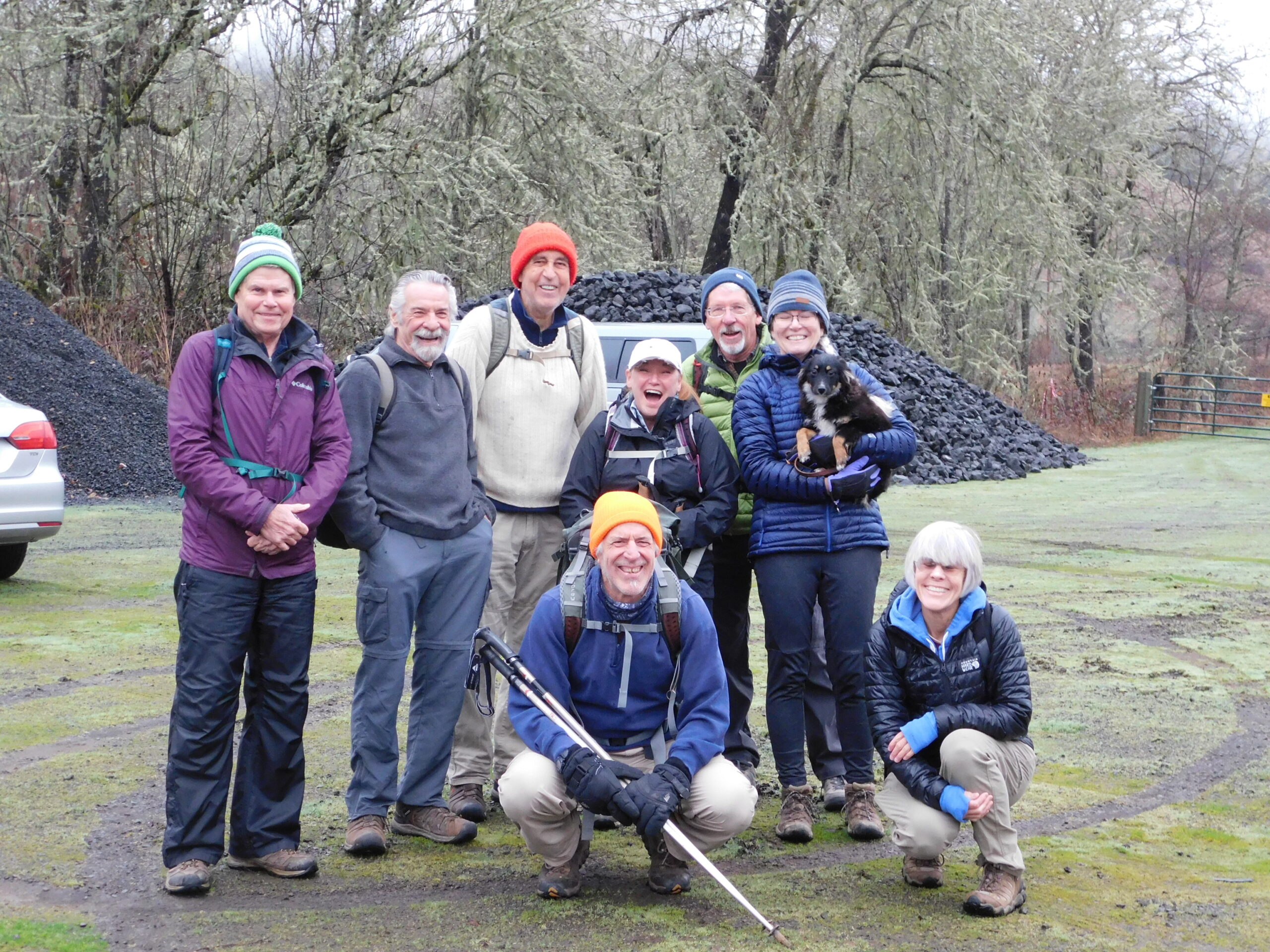
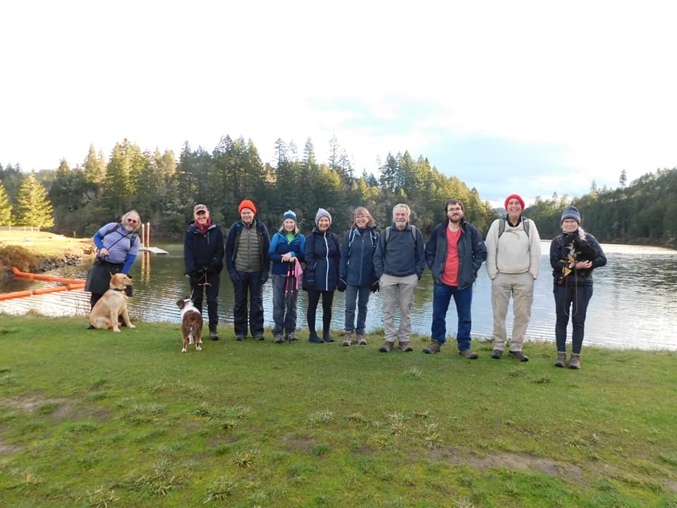
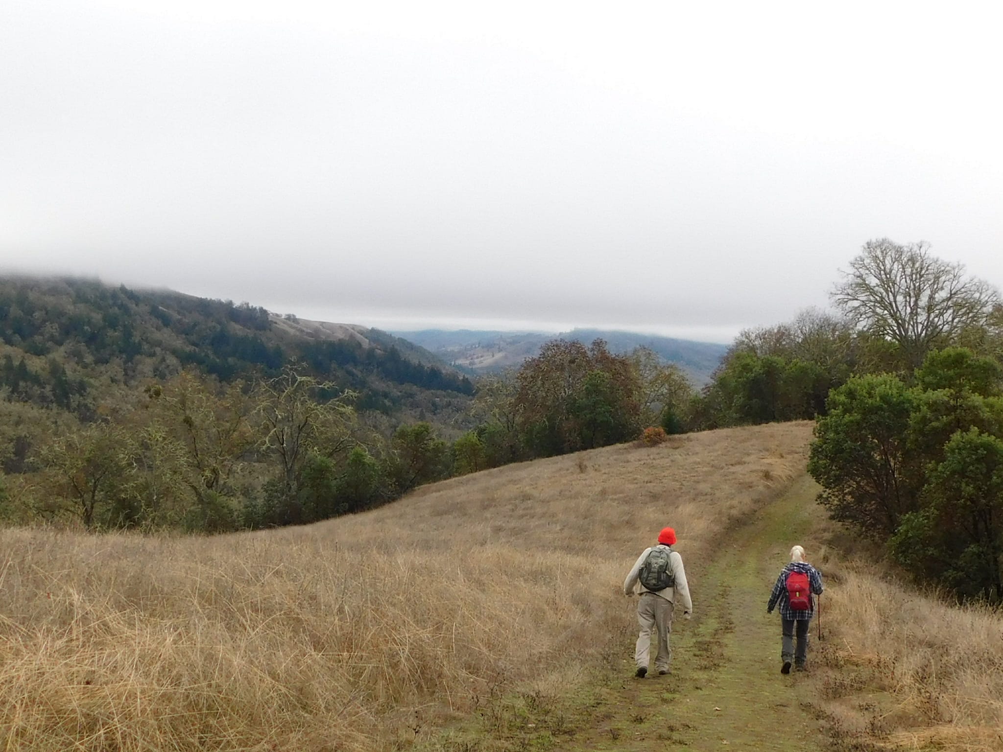
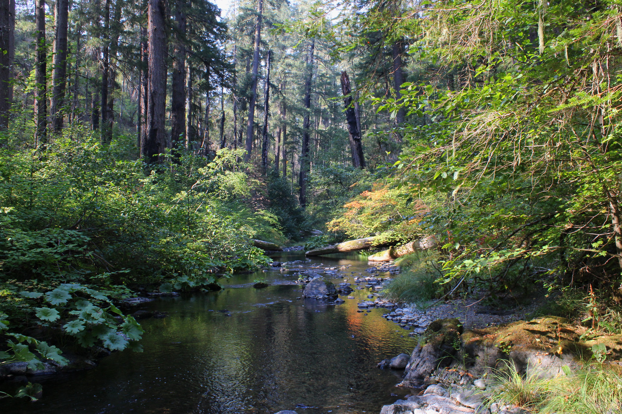
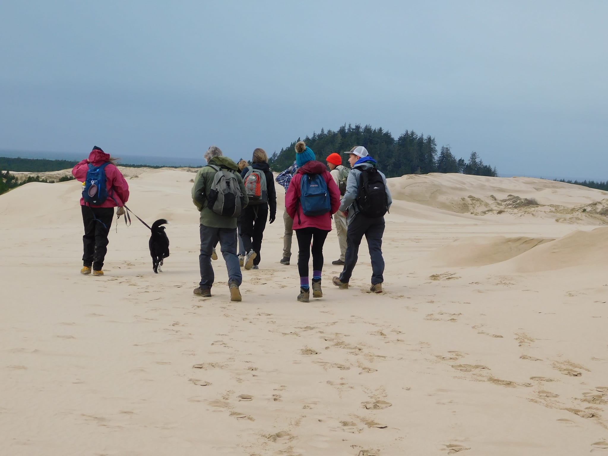
Floras Lake and Blacklock Point – January 7, 2023

Hike Coordinator: Lane Harris

Narration by Lane Harris

Blacklock Point is one of the most beautiful spots on the Oregon coast, and hardly anyone knows about it. This rugged headland, just north of Cape Blanco, is one of the wildest spots on the coast. Although traffic on Hwy 101 whizzes by just a few miles away, few travelers make the effort to find this lesser-known gem on Oregon’s south coast.

As the 14 of us gathered near the boat ramp at Boice-Cope Park near Floras Lake, the weather looked much better than anticipated, and thankfully it was dry for most of the hike, with only a few small sprinkles coming down a handful of times. Starting from the shores of Floras Lake, we headed south along the Oregon Coast Trail, winding our way through thick forests until reaching the main trail.

My intent was to make a few off-trail excursions prior to reaching the Point. The first creek we had to first cross would provide us our first off-trail excursion, albeit unplanned and unwelcomed (Odd thing, all this water wasn’t here 3 weeks ago when I had pre-hiked it). As several members scouted out different routes around the boggy mess, I took the lead, as that is what one does when leading, and I forged ahead. After Kevin’s trusty companion Minion tried in vain to cross, Kevin decided to call it and headed back to his vehicle. One hiker down. The rest of us did our best to keep boots dry, as we attempted to stay on the high parts of this marshy environment, eventually reaching the small foot bridge. Well, foot bridge is a misnomer in this case, as most foot bridges have places to put your foot. This one consisted of no more than a few slippery boards which must be carefully navigated. One end was submerged as we leapt across the creek, most of us making a dry landing. (Emphasis on “most of us”) Needless to say, we were not looking forward to doing this all over again in reverse…

After making our way up the other side, I led the group to our first planned excursion, which was a point from which you can see arch rock (not sure if that’s the real name…) and the beach from above. I noticed that a few hikers were not with us. After making our way back to the trail, we determined that Richard, John, Scott, and Shannon had disappeared. Literally. I knew for a fact that I was in front prior to exiting the trail, so we determined that they must have been lollygagging behind us, missed the exit, and kept on going. We later learned that the lollygagger was John, who decided to do a little trail maintenance by cutting a small tree off of the trail. The other three waited for him, and thus they began their own adventure. Four more hikers down.

The remaining hikers traipsed up the trail, eager to get to the next excursion. Soon, we departed the trail again, popping out the other side to more cliffy views. This particular one is on the north side of a waterfall that can just be seen tumbling below the cliffs. It was above this waterfall that the plan was to hop across the small creek that feeds the waterfall and scramble up the other side to another viewpoint. But once again, we had more water than we knew what to do with (Funny, all this water wasn’t here 3 weeks ago). With determination, most of us (Emphasis on “most of us”) leaped across at several different areas. I gave verbal directions to those now on the other side of the creek, telling them that myself, Rheo and Kathy would go back up the main trail and meet up with them at the next viewpoint near the other side of the waterfall.

After going back up the main trail and failing to meet up with them, I questioned my so-called hike leading abilities. I’m fairly certain that misplacing hikers is something that was to be avoided. Yet, here I was, killing it. By my count, I had managed to lose another half dozen hikers. I was fairly certain that this would be the last hike I would ever lead, thinking that I would be voted off the island by the end of the day. Or maybe just thrown off the top of Blacklock Point, assuming I had any hikers left with me to carry out said feat.

Thankfully, the whole gang was waiting for us just up the trail, admiring another fantastic ocean view atop sandstone cliffs. So far, these views hadn’t come easy, as swollen creeks had to be leapt over and thick brush had to be scrambled through. But that’s the price to pay in order to reach lofty precipices that few people ever venture to.

The trails in this area pass through thick coastal forest, affording occasional glimpses of the mighty Pacific Ocean. There are many intersections and a myriad of ways to navigate these trails, so it’s highly recommended to hike with someone who is familiar with this area. We did manage however, to run into Richard, John, Scott, and Shannon again prior to reaching Blacklock Point. They had already been to the Point and were on their way back. After sharing our misadventures, my group continued up the trail while Richard’s headed back toward Floras Lake. I was a little disappointed when Lance announced that he was choosing to go back with Richard. He had apparently had enough fun with my group. On a brighter note, this would be the last hiker that I would lose this day.

Rounding the corner to Blacklock Point, the scenery opens up, grabs you, and doesn’t let go: Before you lies Blacklock Point’s dark crumbling promontory, which juts out to a series of rocks and stacks, the most impressive being Tower Rock. Views extend to the large sea stacks of Castle Rock and Gull Rock, as well as the Sixes River Mouth and Cape Blanco, Oregon’s westernmost point. Brave hikers teetered along a sketchy trail that leads along the spine of Blacklock Point to obtain incredible views in all directions.

After a well-deserved lunch, we returned the way we came. This time, no off-trail excursions were planned. Also, we knew we had to cross that marshy bog and the so-called bridge, so that in itself was gonna be an adventure…. again. We arrived at the swollen creek, and much to our surprise and relief, the water had receded, and by a lot! We merrily strolled across, knowing that the worst was behind us now. I was relieved, as I was certain if I were to lose another hiker, it would’ve been in this watery mess somewhere, as the marsh could’ve swallowed up any unwary hikers.

Arriving at a junction, Rheo, Kathy, Michael and Missy decided to go back via the main trail. I guess this wouldn’t count as losing hikers, as this was their choice. Meanwhile, myself, Colby, Cleve and Moriah diverted off the main trail toward the beach so we could get some sand beneath our boots. The beach just south of Floras Lake offers views of more golden sandstone cliffs, only this time we were below them, peering up in awe. After a mile or so of beach-walking, we headed inland and back to the parking lot at Floras Lake. We started out with 14 hikers, I came back with 3, plus myself. In my estimation, I think that’s a win.

We were all feeling somewhat fortunate, as we had just journeyed through nearly 10 miles of coastal beauty that very few experience. Even better, I was not voted off the island or thrown over a cliff this day. I imagine I’ll live to lead another hike on another day, and have additional opportunities to lose more unsuspecting hikers. I can’t wait.

Be sure to subscribe to our YouTube channel!

More pictures on Richard O’Neill’s Flickr page

Pictures below by Richard O’Neill and Lane Harris

North Bank Habitat – December 31, 2022

Hike Coordinator: Brad Bishop

Narration by Brad Bishop

Well, this one was more unusual than most of my unusual outings.

What was going to be ‘The Powder to Chowder’ hike in celebration of the start of the beginning of this year’s ‘Worst Hike Ever’ took a turn in a direction that I never would have dreamed of. It was a weird coincidence that in 2022 we began on the 1st day of the year and ended on the 365th at North Bank. There was no snow, but it had rained pretty steadily the couple of days before, so I was figuring wet and sloppy. Maybe change the hike to Slop and Soup.

So, there were nine of us ready to send 2022 into the junk heap of time and start celebrating the anticipated 2023 Nirvana that was on the horizon.

We gathered in the Comstock Lot and headed out to the Bucktail Basin. Everyone seemed in good spirits and the trail wasn’t too wet and the temp. was inviting for a brisk walkabout. After about ¾ of a mile I came over a ridge and much to my surprise a small shepherd type dog appeared out of nowhere and started cantering towards me. The first thing I noticed was that it had a weird gait. I thought, poor guy, must have gotten one of his back legs injured. After he (actually she) got closer I realized I was mistaken there was no leg there. As I bent down to pet her, she was kind of whining but didn’t seem distressed. As the rest of the crew came up, they greeted the doggie with Love and Warmth. I peered down the trail expecting to see her owner, but no one was in sight. She seemed to bond with our group and hobbled along up the trail keeping Missy’s dog company. I thought we’d see her owner down the trail.

Well, it was a pretty easy trek until we came upon the steam crossings which were flowing pretty good. So little tripod was still with us but there was no way she would have gotten across without being swept downstream. Remember in Lord of the Rings when they did the dwarf toss? Well, this was dog tossing at its best. After surveying the situation, and the majority of the hike still ahead, Super Ginger Coreena, Missy and Mike decided to take our little stowaway back to civilization.

I was somewhat relieved as I knew some of our top animal lovers had decided to take action and I felt much better about the outcome of the situation.

The rest of our group continued on the journey. It seemed like the part I was most concerned about, Soggy Bottom, was pretty nice actually, not too sloppy AND the sun showed signs of breaking through. As we navigated the last water hazard and hung a right past the barn, we saw a trio coming towards us in the distance. It was the Three Musketeers. First thing I noticed was that little tripod was absent. My mind went through all the worst-case scenarios, but I noticed they had small smiles on their faces. They proceeded to fill me in about how they got back to the parking lot and wondered what was their next step. Coreena was already planning on her game plan about adopting her, but all the while they knew they had to first see if they could reunite the little one back to her family.

After canvassing anyone they could find and turning up no leads, an Oregon Police Officer happened by. He hadn’t heard about any lost dogs, but would check with the caretakers. BINGO! It wasn’t the care taker’s dog, but they knew the owners.

“PIPER”, as it turns out, was with her family and got separated. She had been out there two nights. Her family had gone out looking for her for a couple of days with no luck.

Anyway, it’s always good to have a happy ending. We had some chowder, quiche, cookies, and sparkling cider. We talked about the joys of getting older, and had that warm and fuzzy feeling for maybe saving a little life.

So let us take this attitude into the new year to give a little more love and taking action on our compassion. See you when I see you. Have a great 2023.

Pictures below by Rheo Wheeler

Cooper Creek Reservoir – December 10, 2022

Hike Coordinator: Rheo Wheeler

Narration by Rheo Wheeler

We had an even dozen show up for the Cooper Creek hike. This is somewhat surprising due to the nasty rainy windy forecast, but the clouds parted, and we had a sunny start, rainy middle, with a somewhat clearing ending. New people and new dogs all seemed to have an enjoyable 6+ mile hike around Cooper Creek Reservoir. Had a lolly-gag at the 2/3 mark at the east boat ramp with all under a somewhat protective tree.

Pictures below by Rheo Wheeler

North Bank Habitat – November 26, 2022

Hike Coordinator: Brad Bishop

Narration by Brad Bishop

This hike was meant to be a lovely jaunt along the Oregon Coast at the funky little seaside town of Bandon. Much to my dismay a couple of weeks before the hike date I was informed that not only was there going to be a high tied that day, but it would be a King Tied. Due to the shortage of rescue swimmers in our club I decided the new title for the hike would then be ‘Swept By The Tidal Wave To the North Bank Habitat”.

Only Four of us this time out; The Prez, The Legend, The Tree Spirit and yours truly. This did not surprise me as this was the weekend of giving thanks and a lot of members were probably recovering from Tryptophanosis. (As a public health suggestion, Friends of The Umpqua Hiking Club would like to say try not to overindulge, but if you do hiking is a good way to counteract the negative effects) It was good hiking weather, Mid to upper 50s and though it had rained the night before the trails were firm and there was no threat of a shower.

As we arrived at the West Entrance, two K9’s playfully attacked my truck, probably recognized me from a previous life, no doubt I probably owed them money. Once the maps were passed out, I explained the route. We would start from the parking lot and proceed to the Oregon North Bank Habitat Chasm Creek Trail, which I prefer to call the OR. Chasm Trail. From there we would hook up with Middle Ridge Trail and continue onto Bucktail Ridge making a nice little six-mile loop. The Legend stated that the last part of the OR. Chasm Trail was an ass-kicker. Now, I respect the opinion of The Legend as he has hiked hundreds if not thousands of Umpqua Miles, but I figured maybe he was just suffering lingering effects from Tryptophanosis. Besides, it was only a couple of inches on the map.

Off we took on our adventure at a refreshing lively pace past shedding fall leaves and non-diversity practicing cattle. Taking a right turn on to the OR. Chasm Trail things were going extremely well. The trail was firm, our pace upbeat we were frolicking along. May I even say we were having a gay old time.

Then things got serious. The OR. Chasm Trail had started its upward climb. Time to start taking off clothes. Heart beating faster. Breathing deeper. Getting lost in the aura of what nature had to offer on our quest to the climax of this unexpected physical climb. Small breaks along the way to catch our breath then continuing on. We were almost to the top. Holding on just a little longer. And then… We made it!

We all had a cigarette and a snack at the picnic table. Just kidding about the cigarette. (As a public health suggestion, Friends of The Umpqua Hiking Club does not condone inhaling smoldering vegetation. Unless of course it is fire season) But I digress, and we did digress down The Middle Ridge into the cool, light grey atomized mist. It was a fairly uneventful decent except for the UFO landing site. We did meet a few bipedal creatures, but no sign of aliens.

We arrived at the parking lot about 11:30. Guess you could say it was a quickie.

Pictures below by Rheo Wheeler and Brad Bishop

North Umpqua Hot Springs – November 12, 2022

Hike Coordinator: Missy Kroeker

Narration by Missy Kroeker

What can be better than a hike on the North Umpqua Trail in the fall of the year? It was a Saturday in November, the 12th to be exact, that the Friends of the Umpqua hiked the Hot Springs segment of the NUT. This section never disappoints. Even though the sky was cloudy and threatened rain now and again it was a glorious fall hike. Autumn trees bring to mind this Psalm, “let all the trees of the forest sing for joy”. On this autumn Saturday the trees were definitely singing for joy!

We started our hike at Toketee Campground with our lunch spot at Columnar Falls, which is technically on the Dread and Terror segment of the NUT. Since the falls are so close to the Hot Springs parking lot, within a quarter mile, why not keep going and eat lunch enjoying the falls?

There’s a faint path through the bushes heading downstream where Surprise Falls can be seen tumbling over mossy rocks. The trail traverses over the top of the falls where the water springs out from the rocks below. From the trail, this “surprise” isn’t fully appreciated, but from below the tumbling water is beautiful.

I think most of the hikers that day had been on this segment multiple times, but this did not lessen everyone’s enjoyment of time spent with friends on a beautiful trail. It was time well spent, soaking in the beauty of creation on such a magnificent Autumn afternoon. I think I did hear the trees of the forest singing.

More pictures on Richard O’Neill’s Flickr page

Pictures below by Richard O’Neill

Upper Rogue River – October 29, 2022

Hike Coordinator: Richard O’Neill

Narration by Richard O’Neill

Misery loves company and I’ve been known to take friends on a hike that made me miserable. However, the opposite can be true in that happy hikers also love company, which is why I took the Friends to the Upper Rogue River. The Upper Rogue is the site of many of our favorite hikes such as Rogue Gorge, Takelma Gorge, Natural Bridge, and Knob Falls. However, north of these iconic places, the Upper Rogue River Trail has not felt the love in terms of trail maintenance and the number of visitors. That’s too bad, for this section is certainly worthy of a visit.

Eight of us set out on the trail from the Big Bend Trailhead and immediately, the tenor of the Rogue River was noticeably different from the aforementioned iconic hikes. Here the Rogue snakes back and forth in a series of serpentine bends, the river seemingly in no hurry to reach the turbulence downstream. The river is placid and serene and the tranquility cannot help but soothe your soul, although it didn’t stop me from making fart jokes.

The trail alternated between dark conifer woods and river overlooks from tall cliffs. In the woods, an understory of alder trees with leaves glowing yellow waved the autumn colors. On the ground, tall bracken fern likewise added to the fall vibe while making the trail faint and hard to follow. The tall cliffs were comprised of volcanic ash deposited when Mount Mazama blew its top and created Crater Lake.

At about the three-mile mark, the trail passed the largest log jam in the world, extending hundreds of yards. The Rogue here, snakes through the logs in an equally large open meadow. The terrain is marshy here, but a large footbridge keeps boots dry and made a logical place to eat lunch at. Several of us continued on into the woods on an increasingly faint trail that led to another picturesque overlook of the mirrorlike river.

On the way back, the forest vegetation was wet as if it had rained but fortunately, the rain missed us. We even enjoyed some sunlight on this cool day, the weather gods refusing to rain on our hiking parade…this time.

More pictures of this hike on Richard O’Neill’s Flickr page

Pictures below by Richard O’Neill

Briggs Creek – October 15, 2022

Hike coordinator: Richard O’Neill

Narration by Richard O’Neill

We were few but we were mighty. Four of us, includng your intrepid hike leader, made the trip to Briggs Valley for a nice and easy hike along Briggs Creek.

The area had been off limits for most of the summer because of the nearby Rum Creek Fire but fortunately, that fire was contained by the time we did our hike. Fortunately for Briggs Creek fans, the Rum Creek Fire did not ever reach Briggs Valley. That’s not to say though, fire was not a part of this hike for the forest here bears the scars from at least two fires that scorched the woods along the creek.

We began with a quick history lesson at the meadow at Sam Brown Campground. The meadow is the sight where the mining town of Briggs, Oregon once stood. In the meadow is the actual grave of Sam Brown, a bartender at the hotel in Briggs.

History lesson over, we headed out into a green forest with hints of of the coming fall season. The trail went between Briggs Creek and the campground with plenty of side trails braiding off the trail. Once we left the campground behind us, the next point of interest was Dutchy Creek, which was barely trickling, the low water making for an easy creek crossong.

From there the route alternated between actual trail and jeep roads and Briggs Creek soon became our hiking companion, flowing below the trail. As mentioned the forest was singed but there was plenty of greenery on the ground beneath the trees. We enjoyed the up and down ramble through the woods, where eventually we reached Elkhorn Mining Camp. The camp serves as a rustic backwoods campsite nowadays but we explored a bit and found all kinds of rusting mine equipment and the old garbage pit replete with rusting tin cans.

A short walk past Elkhorn Camp brought us to a crossing of Briggs Creek itself. We sat down for lunch, choosing to soak in the sight of an idyllic creek flowing in the bottom of a deep canyon surrounded by green vegetation. This was also our turnaround point, so we avoided that whole wet boots thing. The one good thing about an out-and-back hike is that you get to enjoy the same woodland and creek scenery all over again, so we were all pretty satisfied with the day’s venture.

More pictures of this hike on Richard O’Neill’s Flickr page

For pictures of the pre-hike that Richard conducted, you can see those here on Richard O’Neill’s Flickr page

Pictures below by Richard O’Neill

Fish Lake – September 17, 2022

Hike Coordinator: Missy Kroeker

Narration by Missy Kroeker

“When Hobbits threw a birthday party (and they usually did), all guests were presented with a small gift. ……… The tradition has been elaborated as a form of thanksgiving, so it was taken as a recognition of services, benefits and friendship shown, especially in the past year” Tolkien’s Letter 214.

What!? Isn’t this supposed to be a trip report for the Fish Lake hike on Saturday September 17, 2021? Your assumption would be correct.

A goodly amount of avid hikers assembled at the courthouse parking lot, ready to head south to the Fish Lake trailhead which is out of Tiller. The weather was overcast and cool with a hint of Fall in the air. The group promptly left the lot at the stroke of 8:00am. Anxious, we were to get on the trail. First, we stopped in Canyonville to pick up Terry and Edwin. The carpooling group continued on to the trailhead which is accessed by surprisingly good, mostly paved and gravel roads.

Once at trailhead we all assembled for our group photo, then we were off to our destination of Fish Lake, four miles away. The Fish Lake trail starts by following the creek, veers away then returns to following the creek to the outlet at the lake. The trail has been cleared of most of the blown down trees except in a couple spots where hikers had to decide how to navigate the huge trees and roots blocking the path. Which will it be? Over? Under? Use the tree as a bridge? It was fun to see how each hiker navigated the obstacle, it wasn’t a problem though. Everyone made it through. Stands of burn scarred conifers lined portions of the trail. It was heartening to see the 10 to 20 year old “baby” trees replenishing the forest to its former glory. The trail descends around the edge of a swampy pond which is beautifully decorated with moss, lily pads, algae and grassy edges. Once again, the trail ascends back within sight and sound of the creek drawing the hiker up to Fish Lake. Fish Lake is a lovely blue lake surrounded by verdant forest with prominent High Rock as a focal point looming above the lake.

The group settled themselves along the shore to bask in the beauty and refresh themselves with lunch.

“Ok, Ok, what’s the deal about Hobbits?”, you might ask…

Once everyone settled into enjoying their lunches, the hike leader announced it was her birthday. She had decided to celebrate Hobbit Style by presenting her hiking friends with a homemade Oregon Trail cookie wrapped up into a gift. Even party hats were distributed for all to wear as we celebrated. What could have been a better birthday celebration than the beauty of creation and the fellowship of friends?

After much laughing, photo taking, joking, cookie munching and general merriment, the hikers got back on the trail. Some in the group didn’t want the celebration to end and wore their party hats all the way back to the trailhead. Many in the group commented that it didn’t seem like 8 miles, so pleasant was the weather, the beauty of the area and the company of hikers.

More pictures on Richard O’Neill’s Flickr page

Pictures below by Richard O’Neill

Lemolo Lake – September 3, 2022

Hike Coordinator: Penny Groth

Narration by Penny Groth

Seventeen hikers gathered on a cool, slightly misty morning. Destination: Lemolo Lake. First visit for several, frequently visited for others.

Our trek began on the west side of the lake near the dam. We traveled counterclockwise. The lake was dotted with quite a few boats, being the last holiday weekend of the summer. Probably a final summer outing as families return to school schedules. Boaters fished in lake boats, skied behind motorboats, and kayaked along shorelines.

The hike was quite the variety pack of environments including lakeshore, forest and several campgrounds. Forests included several species including Doug fir, Lodgepole pine, White pine, Hemlock, and White fir. Wildflowers were done for the season and grasses turning golden.

We lunched at a great little picturesque beach. Hikers visited with old and new comrades, and enjoyed the view.

After completing the shoreline trek of the lake’s south side, we rounded the east edge of the lake and hopped onto the North Umpqua Trail (runs on the north side of the lake) to return to the dam. The NUT portion has lush undergrowth with various ages of trees, a very pretty segment of this hike. Ten and a half miles total, fairly level. 

Back at the courthouse where we had carpooled from, I chuckled as I watched us emerge from cars. Slowly, some sounds of pain… BUT we’ll be back for more.  Soon!

More picture on Lane Harris’ Flickr page

Pictures below by Penny Groth

2022 Campout Day 3: Salt Creek Falls to Vivian Lake – AUG 20, 2022

Narration by Lane Harris

Waking up to greet the last day of hiking, we were pleased to see that a change of winds caused the smoke from the Cedar Creek fire to dissipate* from our campsites at Odell Lake and the surrounding area. We had Salt Creek Falls planned for a hike but had been smoked out the day prior. Thankfully, the drive this day would be a short one, as we would need ample time to hike the 10-plus miles from Salt Creek Falls to Vivian Lake, Diamond Falls, and back.

*dissipate: /ˈdisəˌpāt/ verb 1. to break up and drive off: The overuse of the word “dissipate” caused Missy’s hiking buddies to dissipate.”

Salt Creek Falls sits directly off of Hwy 58, attracting many people who gather to awe at the second largest falls in Oregon. On this morning, it had its fair share of visitors, but was certainly not overcrowded. After oohing at the sites from above, we took the path to the bottom of the falls to do some aahing from below. It is quite a marvelous waterfall, and after multiple digital images were captured on our devices, we climbed back up the path to begin the hike proper.

After about a mile of pleasant forest hiking, we took the junction which led us to Diamond Falls. The view of the falls from above are mediocre at best, with all the trees obscuring any good views, so we decided to take the trail that leads to the bottom of the falls. We were soon greeted with an in-your-face view of this incredible waterfall! This type of waterfall is called a fan waterfall, as the water maintains contact with the rock and spreads out in a fan-like shape. We could actually reach out and touch it. It was decided later that this was truly the highlight of the day.

We continued up the trail with Vivian Lake as the goal. The trail to get there is not easy, in terms of elevation gain vs distance. In other words, the trail is steep! In one part, the trail climbs 600 ft in half a mile. Hikers huffed and puffed, taking frequent breaks on the way up. Fortunately, we were walking in a deeply wooded forest which provided ample shade, a small win for us. The sound of nearby Fall Creek was constant, adding another dimension to that deep woods feel.

Upon reaching Vivian Lake, we plopped ourselves down along the shoreline, giving our tired bodies a much-needed break. Here, the air was still and quiet, the sounds of the creek non-existent. The thought of hiking back down was also non-existent, as we languished in the shade along the water’s edge. We spent time eating our lunches, watching birds soar high in the sky, and witnessing dozens of tiny frogs hop about the shoreline. This was definitely a peaceful place to be.

About an hour later, we gathered our things and headed back down the trail, this time with a bit more pep in our step, as it was literally going to be all downhill from here. Needless to say, the going was much easier. We even had enough energy to play! What with some rhyming games to finish the day. For this game, everyone had a say. Our witty words were on full display. Heading downhill, we all knew the way. Alas, I have led you astray…. Anyway, now YOU know how to play!

More pictures on Richard O’Neill’s Flickr page

Pictures below by Richard O’Neill and Lane Harris

Scroll Up