Hike Coordinator: Brad Bishop
Narration by Brad Bishop
It was the best of times, it was the worst of times.
Anticipation was thick in the air.
I had led an ambitious group of adventurers over snow covered hills and down frigid valleys at the start of 2022 on The Worst Hike Ever.
Now, our return to the undulating North Bank in a reverse route of our previous journey to see if logically it would be, The Best Hike Ever.
About a dozen hikers, a mix of well-traveled and new members, decided to see if my prediction would come to fruition. The cadre of trekkers knew there would be ups and downs to this journey, but all seemed to relish the thought of being a part of The Best Hike Ever. It was perfect hiking weather, Mid to high 50s, scattered clouds and little wind.
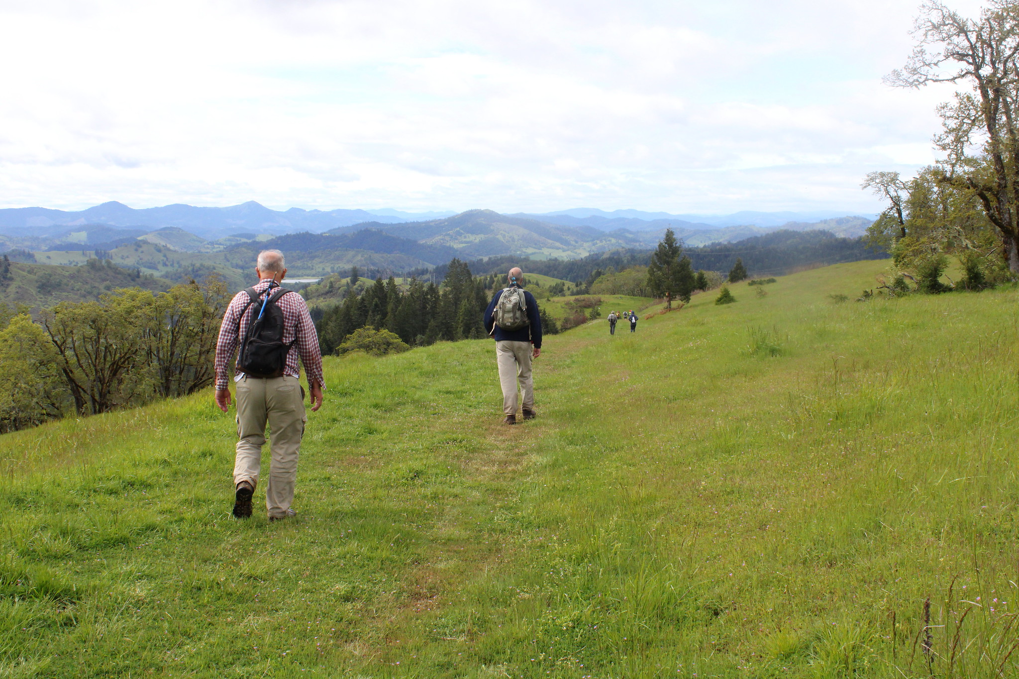
We started out determined and joyful from the East Parking Lot. The consensus of the group was that it was good to get the asphalt part of the loop done first. This positive attitude dropped as we traversed the first cattle gate…. There it stood before us. The East Boundary Rd. Trail. An elevation gain going towards the heavens at a 45-degree angle. After a deep breath and a few nervous laughs, we ascended. The troupe’s conversations, that had been high spirited and numerous, ceased to only uttering what was necessary and some words of encouragement about how this too will pass. Many cursed Newton on his theory of Gravity as the climb continued upward.
There were a few plateaus spread sparingly on our climb where the members rested briefly. Doubled over and gasping for air to feed their heaving lungs. A trail runner and his dog politely passed our group saying if it wasn’t for his dog pulling him up the mountain he would probably be in the same state of distress as we. I knew this to be untrue as him and his dog were keeping pace with one another. We bid him a happy adieu as they disappeared over another rise we had yet to conquer.
After finally making it up the first long and winding ascent we were challenged with the usual elevation drops and climbs that the North Bank is well known for, but along with that came some majestic views of the North Umpqua River and the valleys and mountains it encompasses.
We had decided to all meet up at the weather station for a quick refreshment break and make sure everyone was still functional for the downhill portion, yes the Powerline Trail. All were happy as I encouraged them that it was all downhill from there, all but Richard who claimed it wasn’t ALL downhill. I pshawed his statement and ensured the group it was all downhill. Some decided to break off and take the equestrian trail that ends up junctioning with Powerline at a slightly lower elevation.
Off we started again down, down, down the trail. You could tell this was an early season jaunt by sometimes seeing the long grasses almost obscuring site of the trail until you were upon it. It was a fairly easy hike with not very much mud. But then I stopped. The scene in front of me could not be true, my eyes must be deceiving me! Yes, there was some uphill traversing. Rats! Richard had been right I should have known better than disagree with the Trail master. Oh well, hopefully the rest of the crew would not remember my words.
The rest of the hike was fast and not too difficult except for our knee joints. We made it back to the Comstock parking gazebo and had some refreshments and Macrons. Most all concurred that it probably wasn’t the Best Hike Ever, but everyone had a good time and definitely got a little exercise.
Read more about this hike on Richard O’Neil’s blog, Richard Hikes
More pictures on Richard O’Neill’s Flickr page
Pictures below by Richard O’Neill


