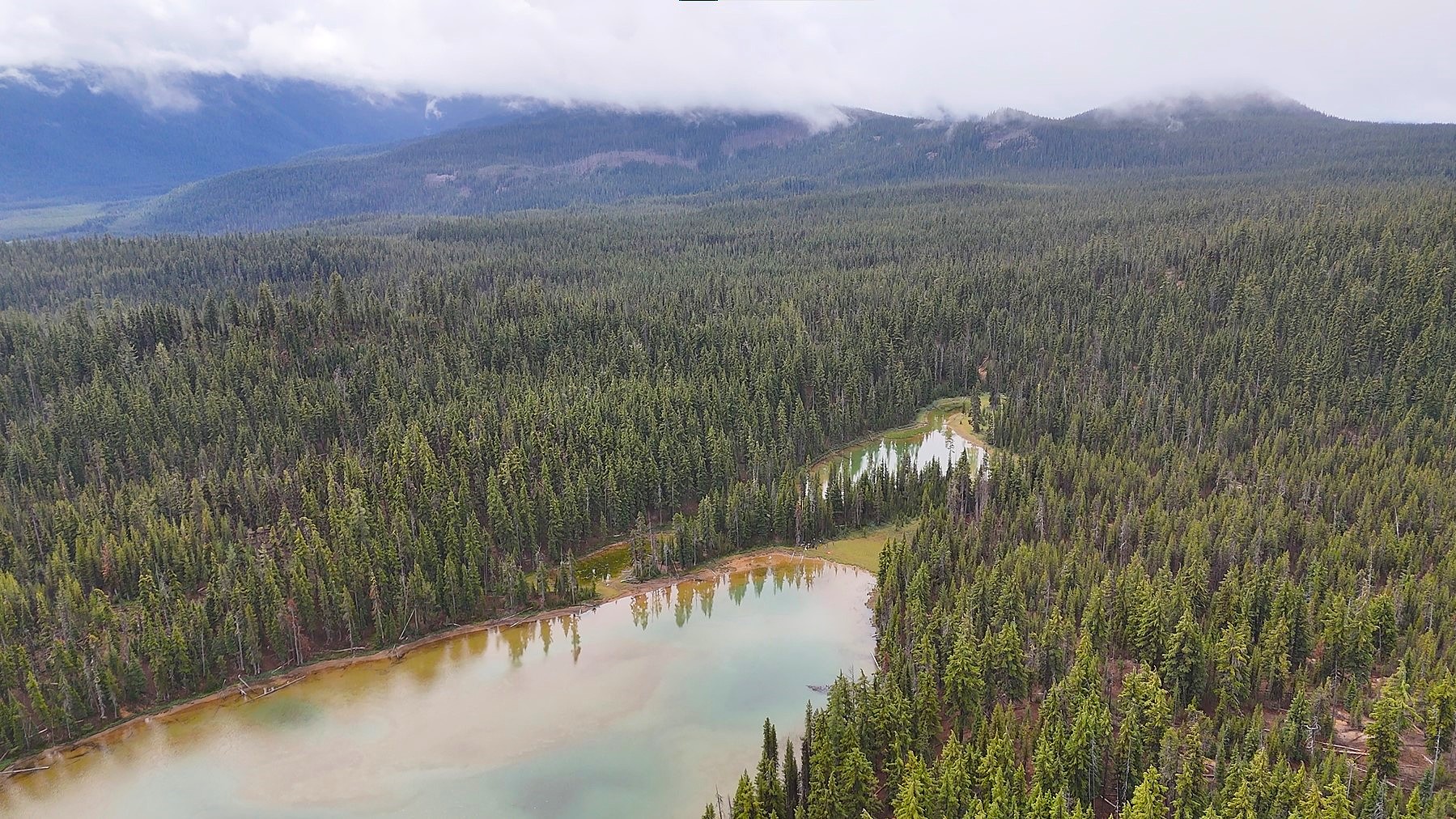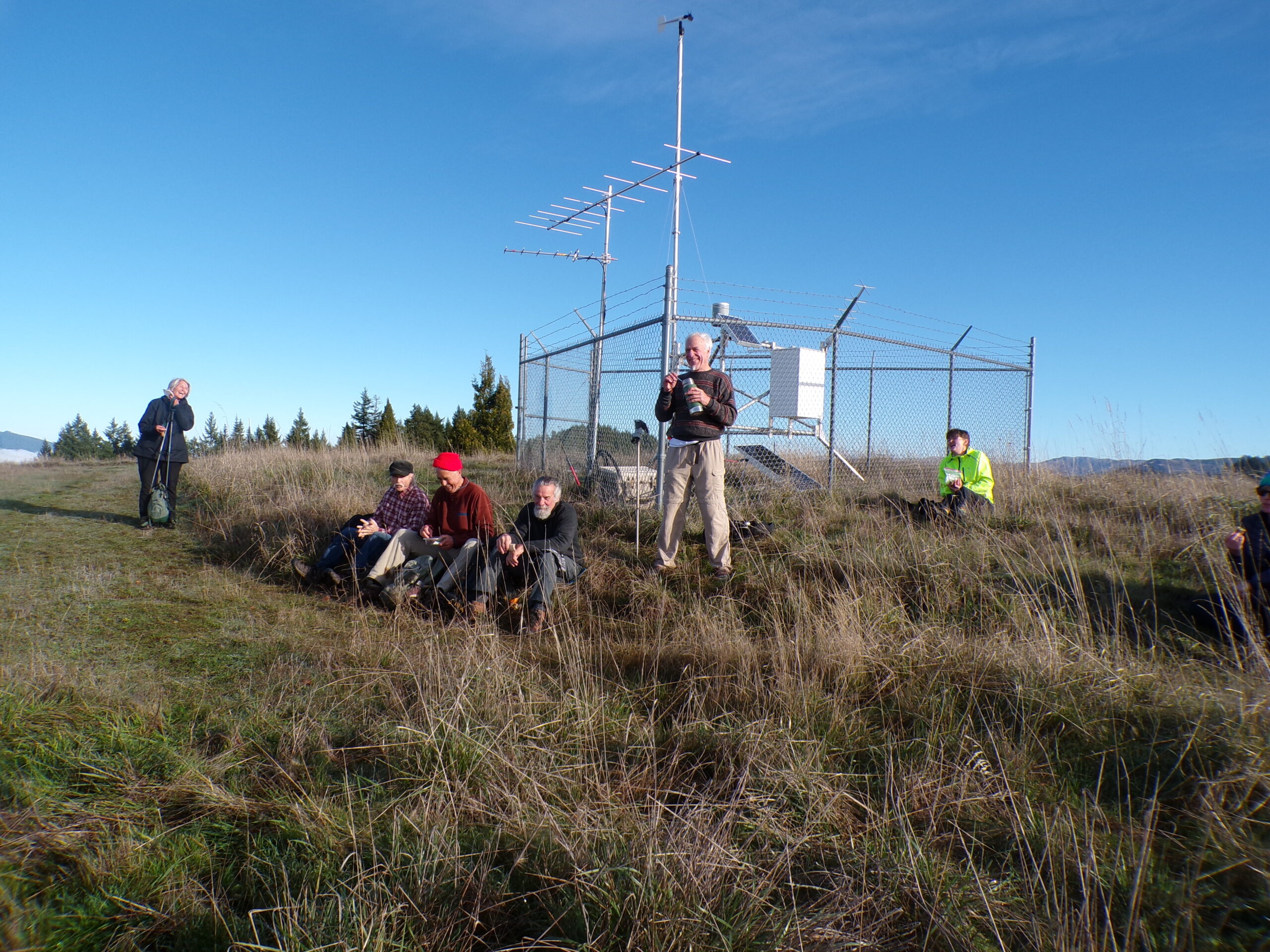
North Bank Habitat – December 20, 2025
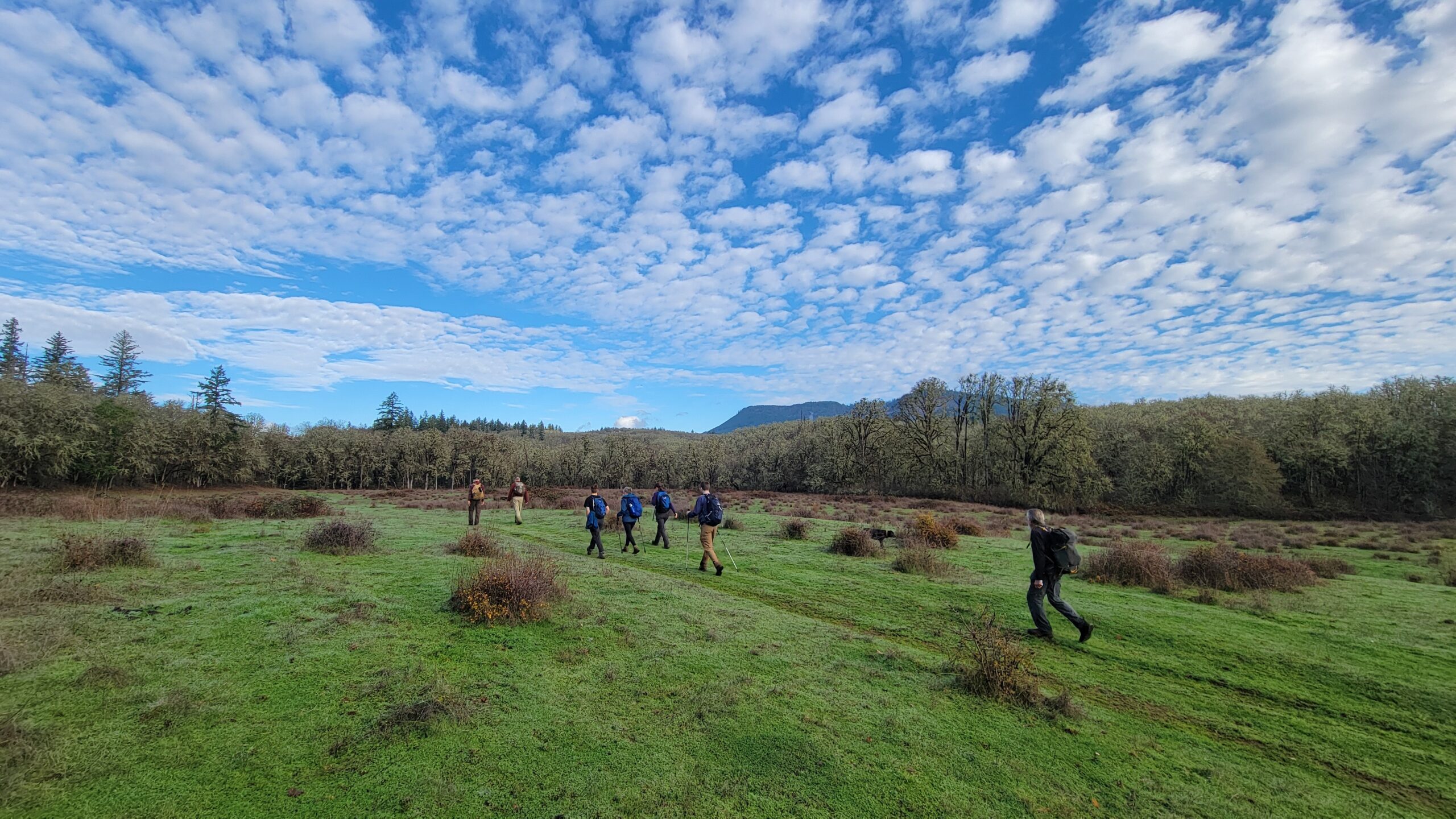
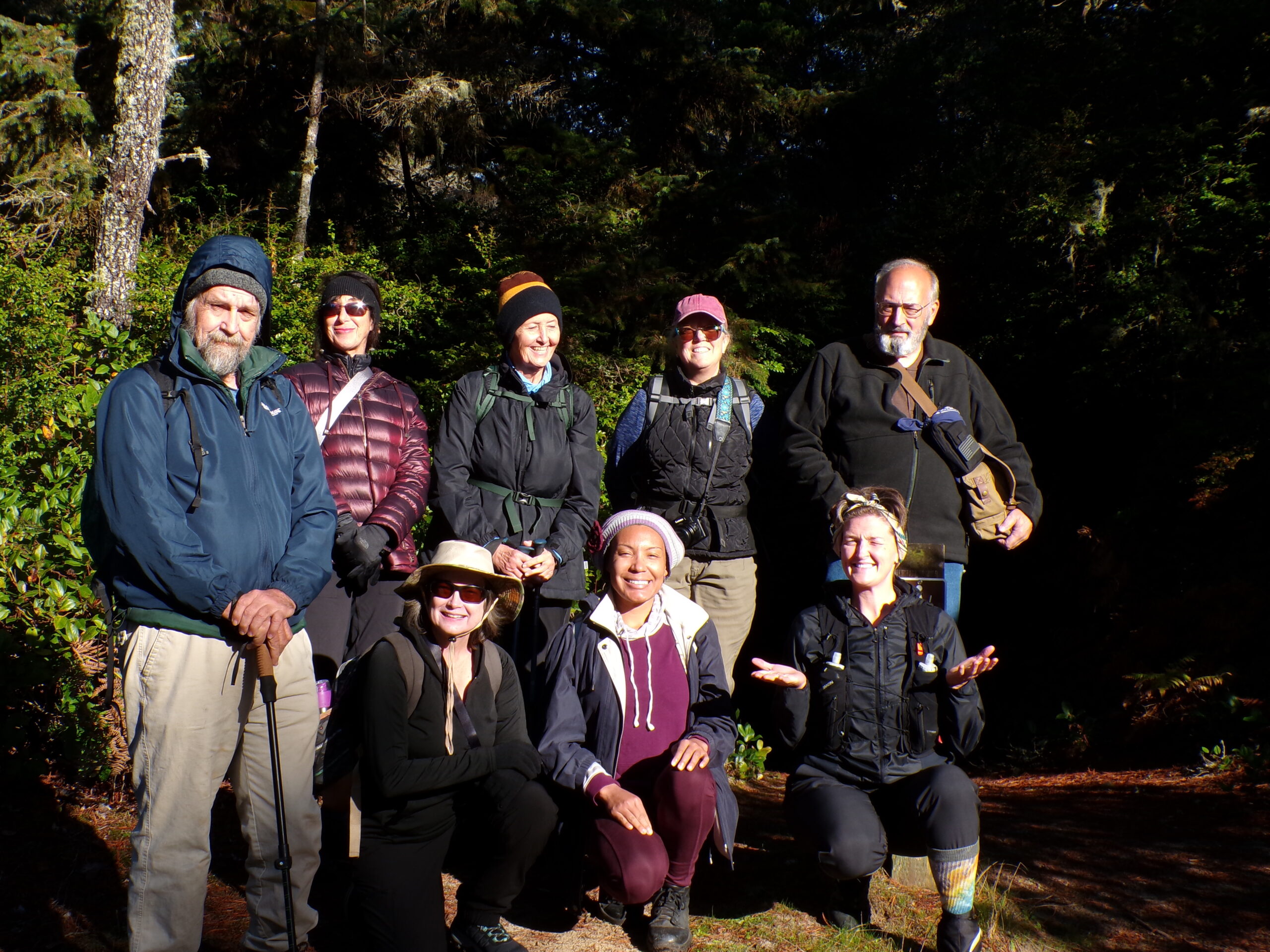
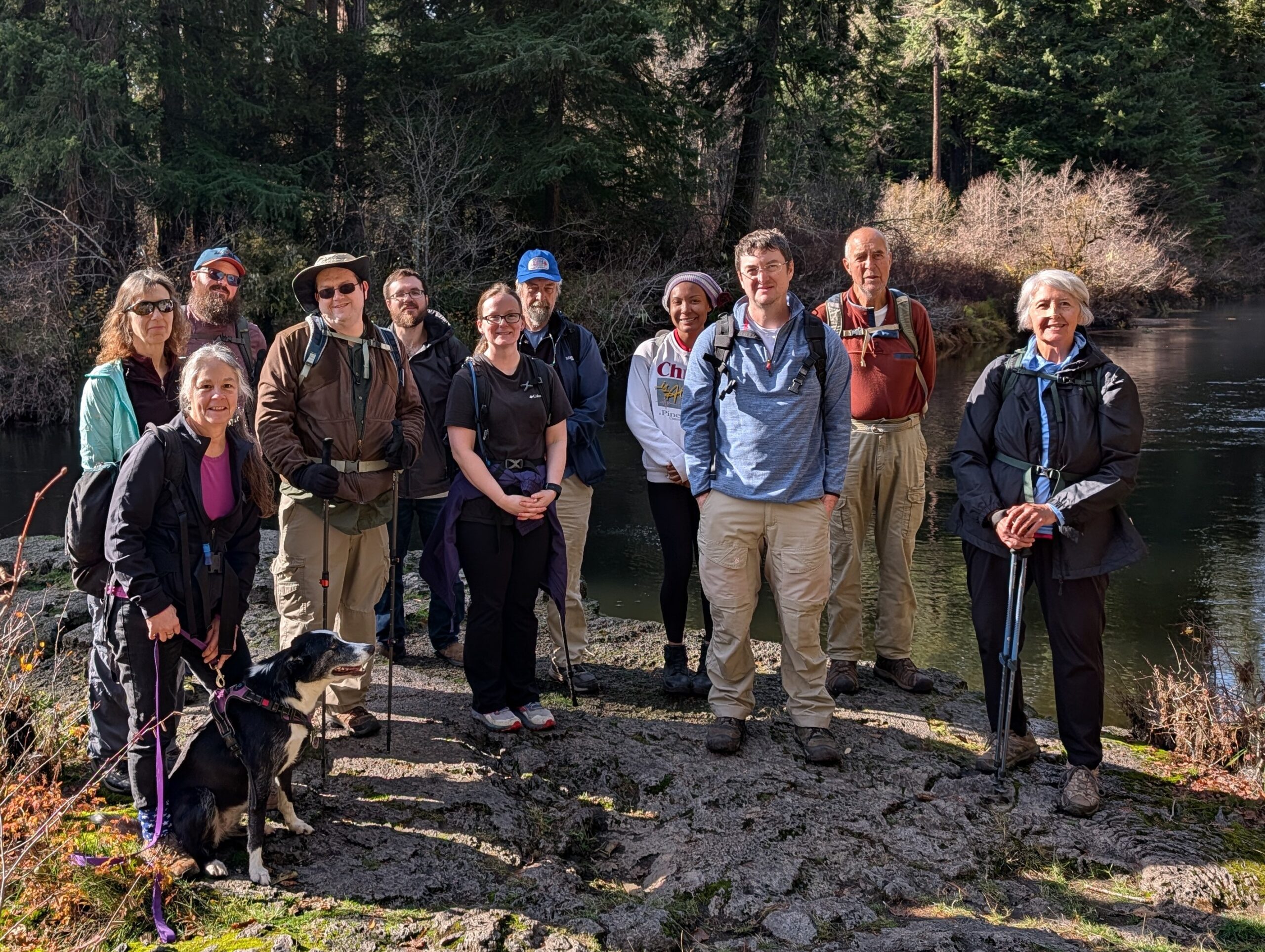
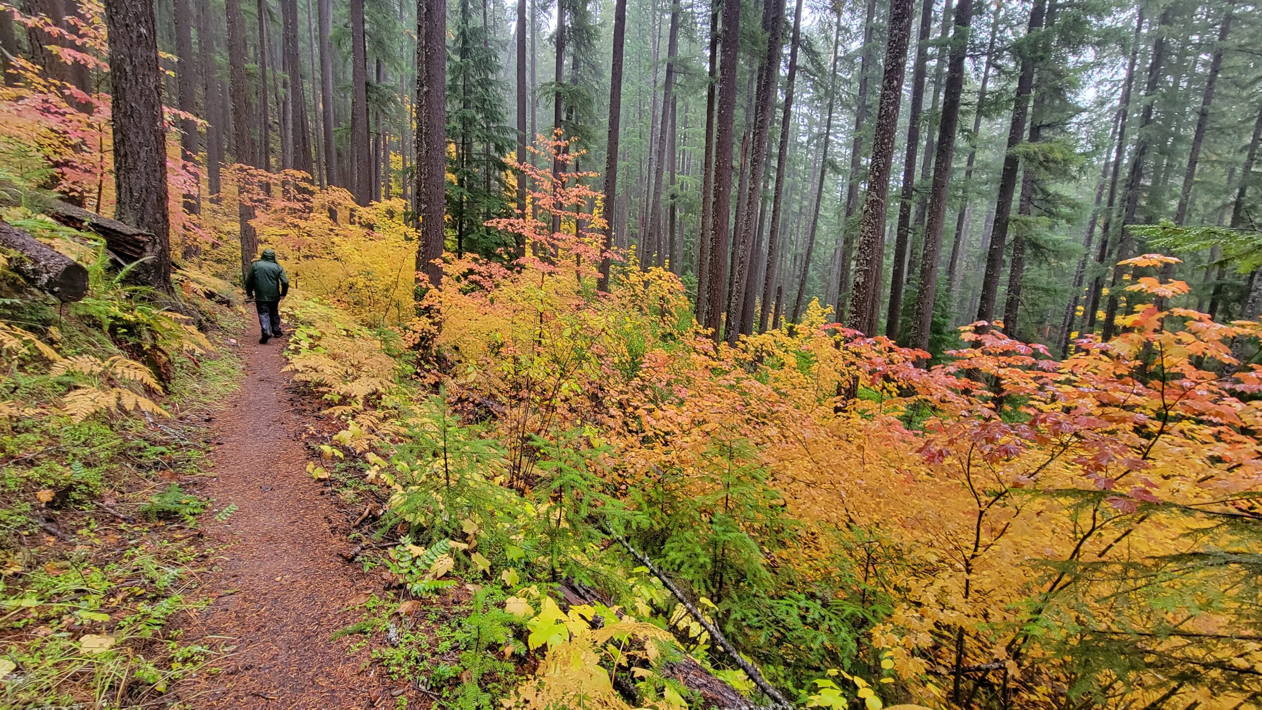
Hike coordinator: John Malone Narration by Rheo Wheeler This hike was initially planned for Cape Arago. But due to crowded conditions on the highway and possible downed trees from a weather system, it was changed to something closer to home: Good old North Bank Habitat, the tried-and-true friend of the uphill hike. John chose the ………….click here to read more.