


Membership
Our hikes are open to the public at no cost. You can hike with us for free any time. However, if you want to be on our email list and become a bona fide member, membership dues are only $10 per year per household, payable each January. Some members of the club act as coordinators .............click here to read more.

Friends of the Umpqua Hiking Schedule
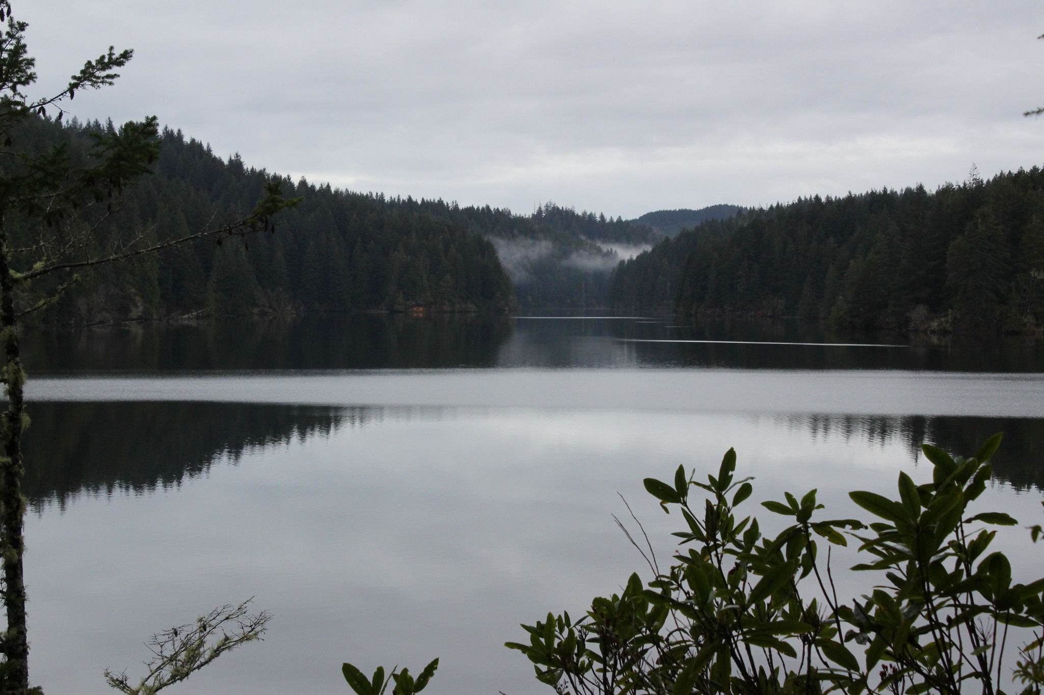
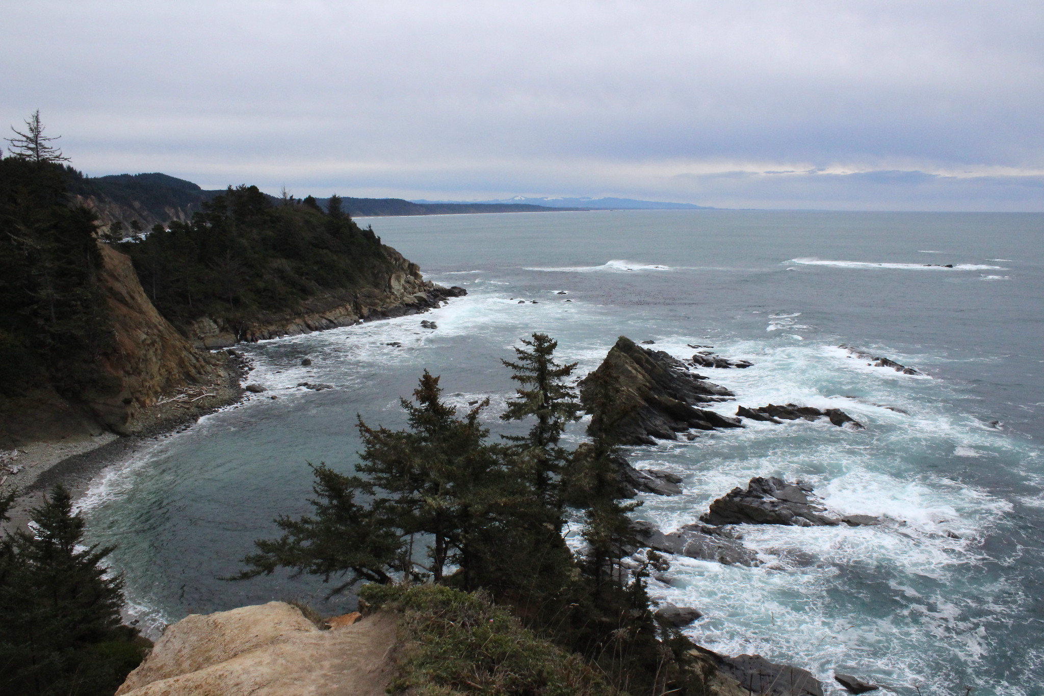
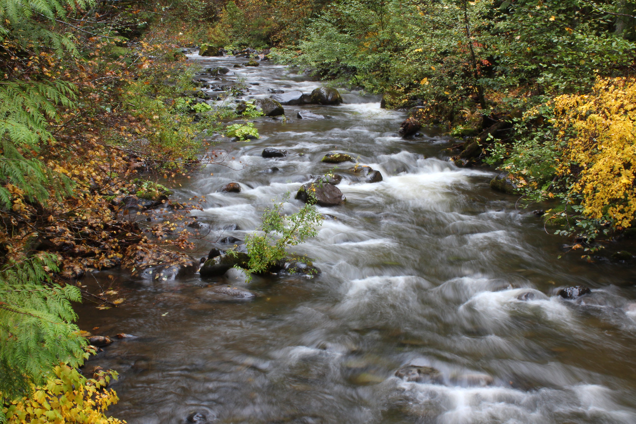
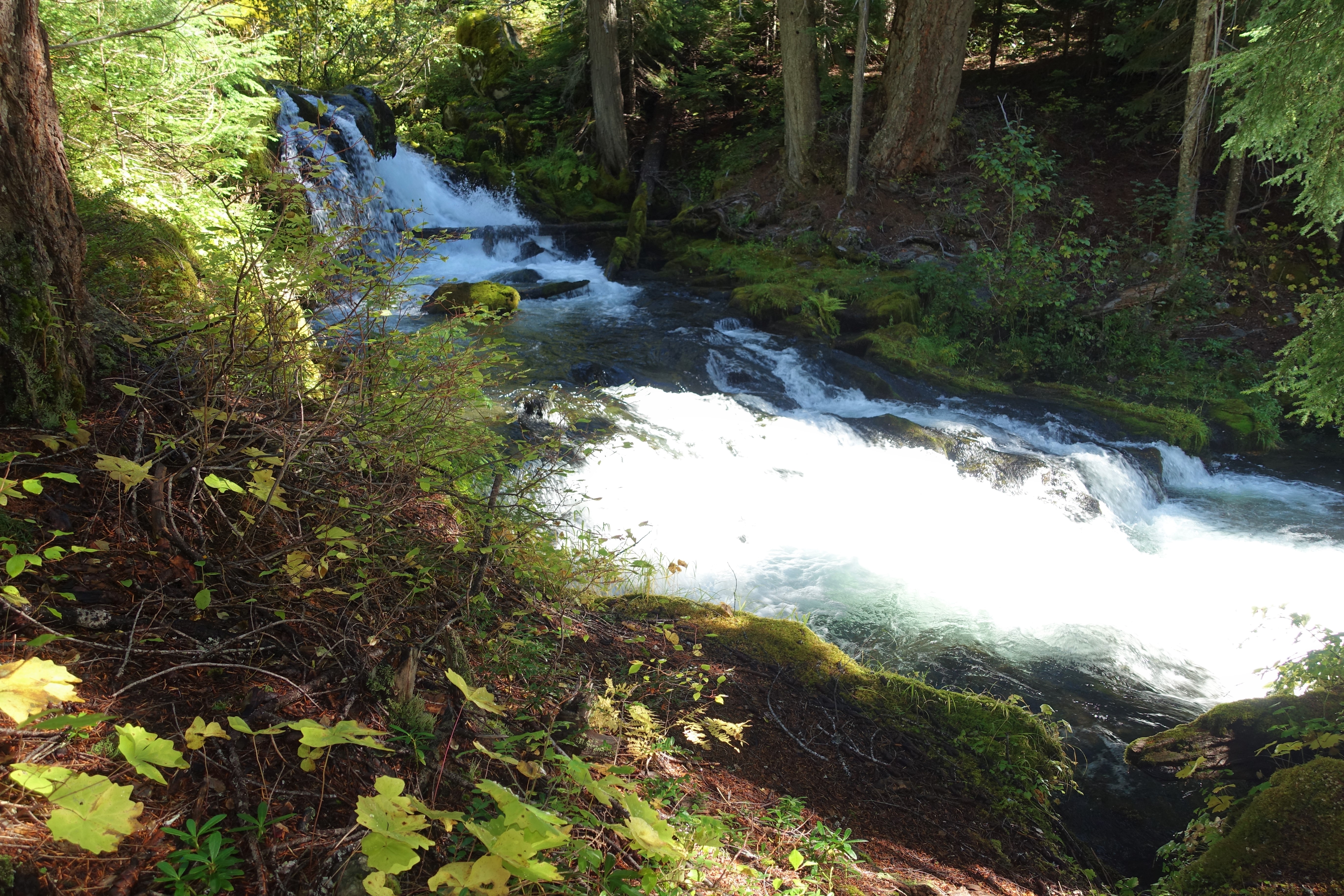
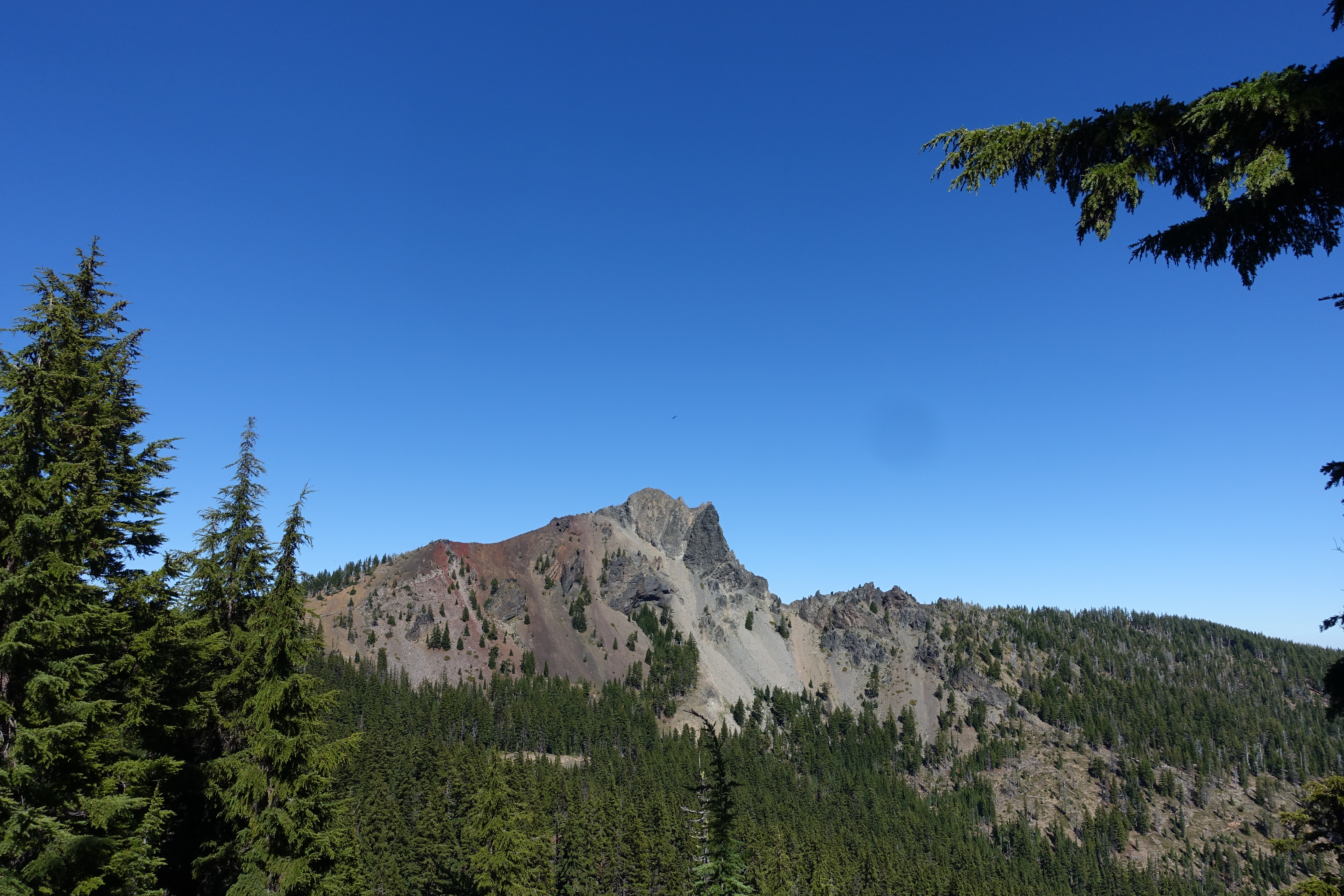
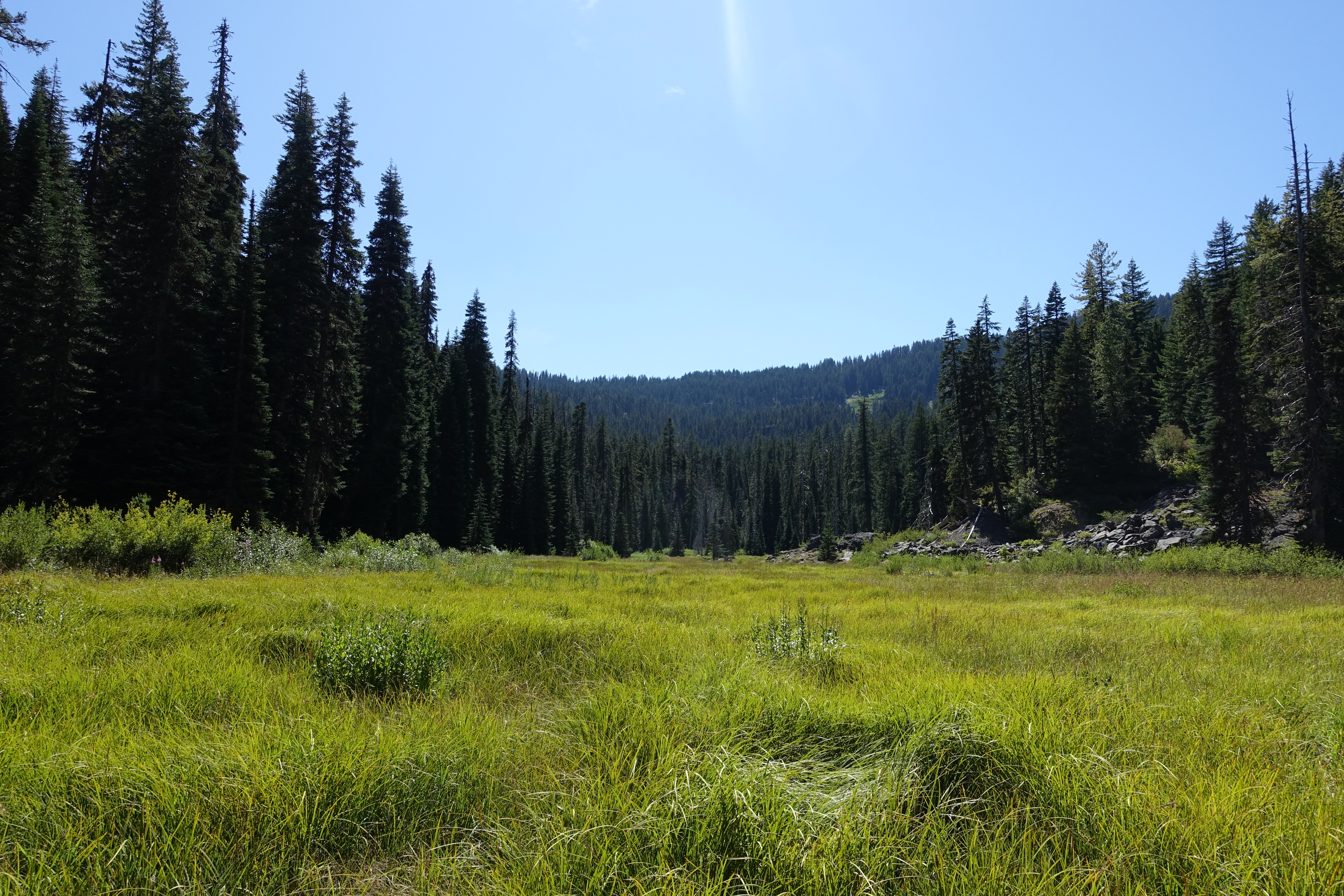
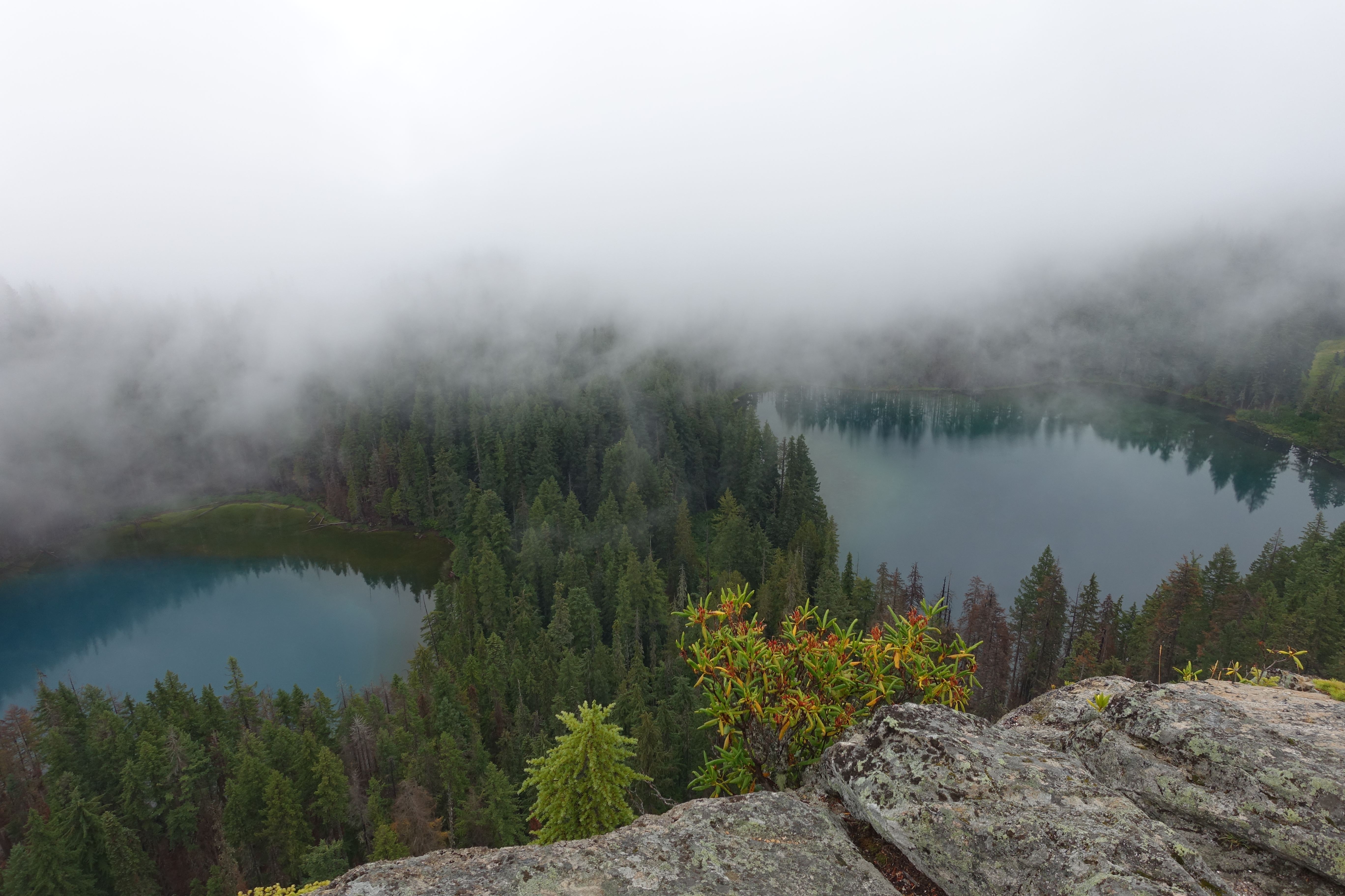
June 20 – October 24, 2026 Upcoming hikes at a glance… We hike every other Saturday! 6.20 Oregon Dunes (Florence)7.4 Happy 4th of July! (No hike)7.18 Twin Lakes (Steamboat)8.1 Sawtooth Mountain (Lemolo Lake)8.15 Cape Perpetua/Amanda’s Trail (Yachats)8.29 Silent Creek (Diamond Lake)9.12 Tipsoo Peak (Diamond Lake)9.26 Goodman Creek (Dexter)10.10 Spencer Butte (Eugene)10.14 Hiking Planning Meeting (Roseburg)10.24 .............click here to read more.

Hike Guidelines
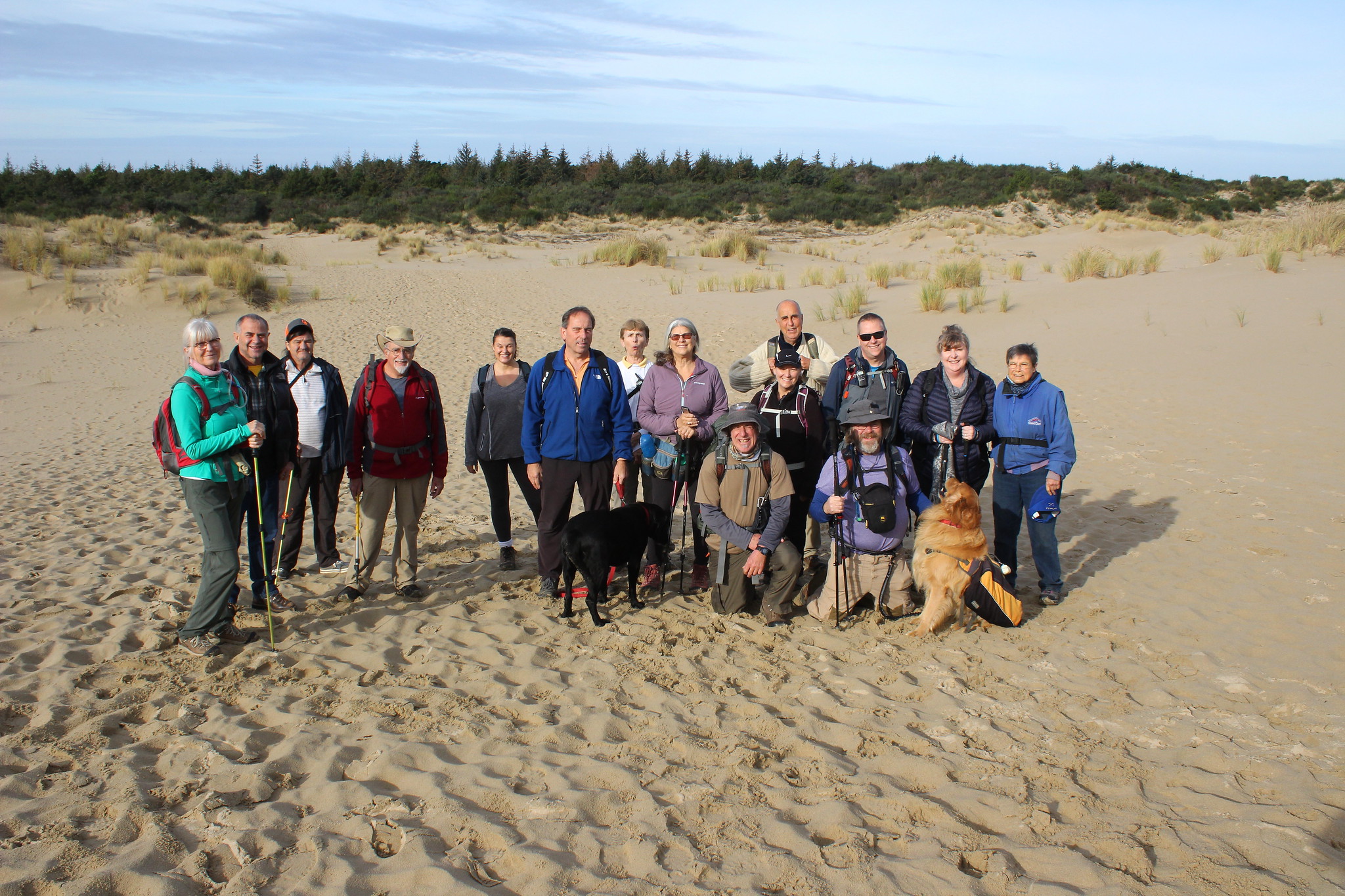
“Friends of the Umpqua” is a hiking club for people who enjoy being in the out-of-doors and sharing the benefits of group outdoor activities. FOU hike coordinators are not “leaders” but are volunteers who help organize and advise participants in specific FOU group activities. Participants will be required to sign a SignInWaiver before each hike. Carpooling .............click here to read more.