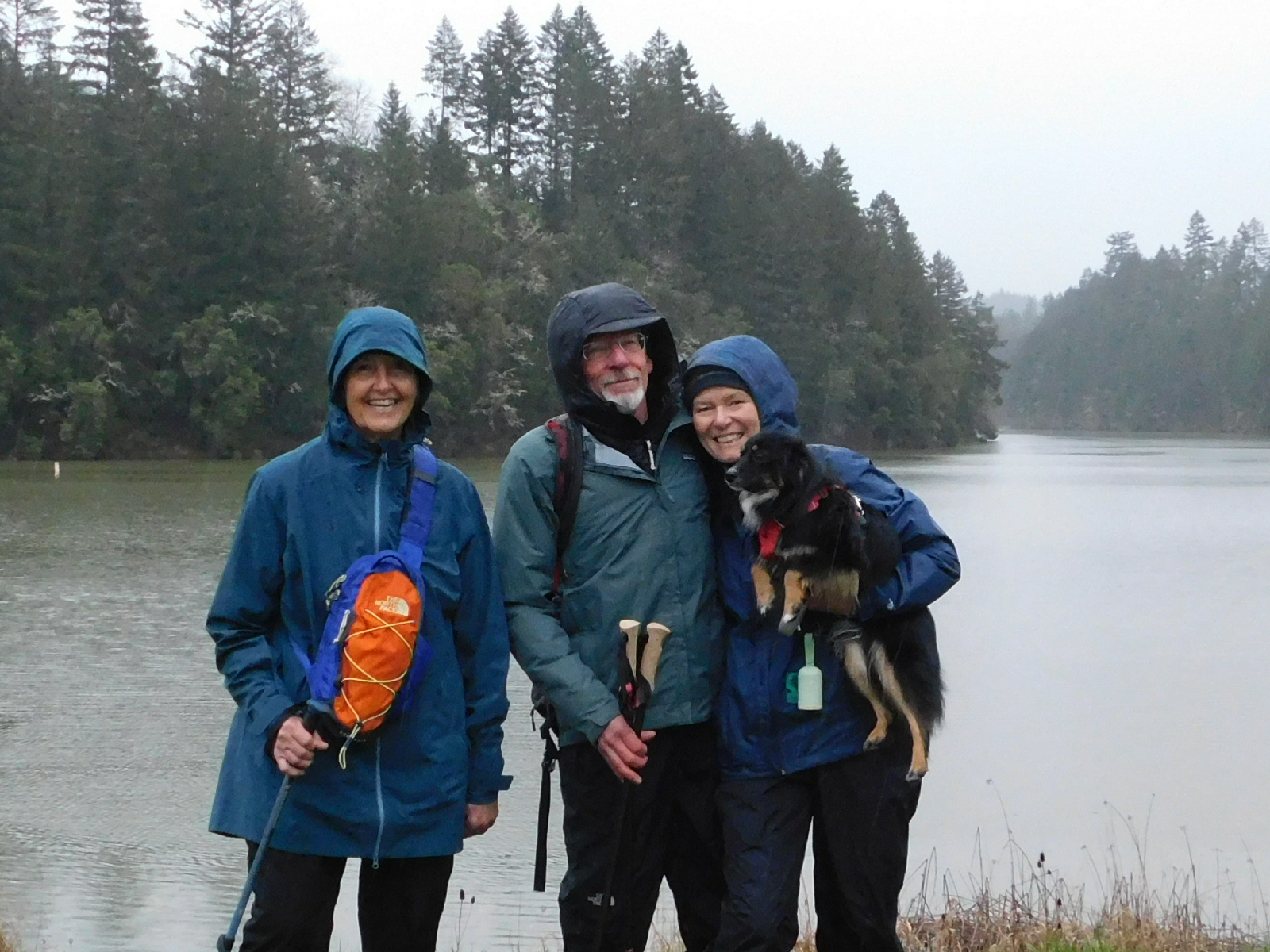
Cooper Creek Reservoir – March 15, 2025
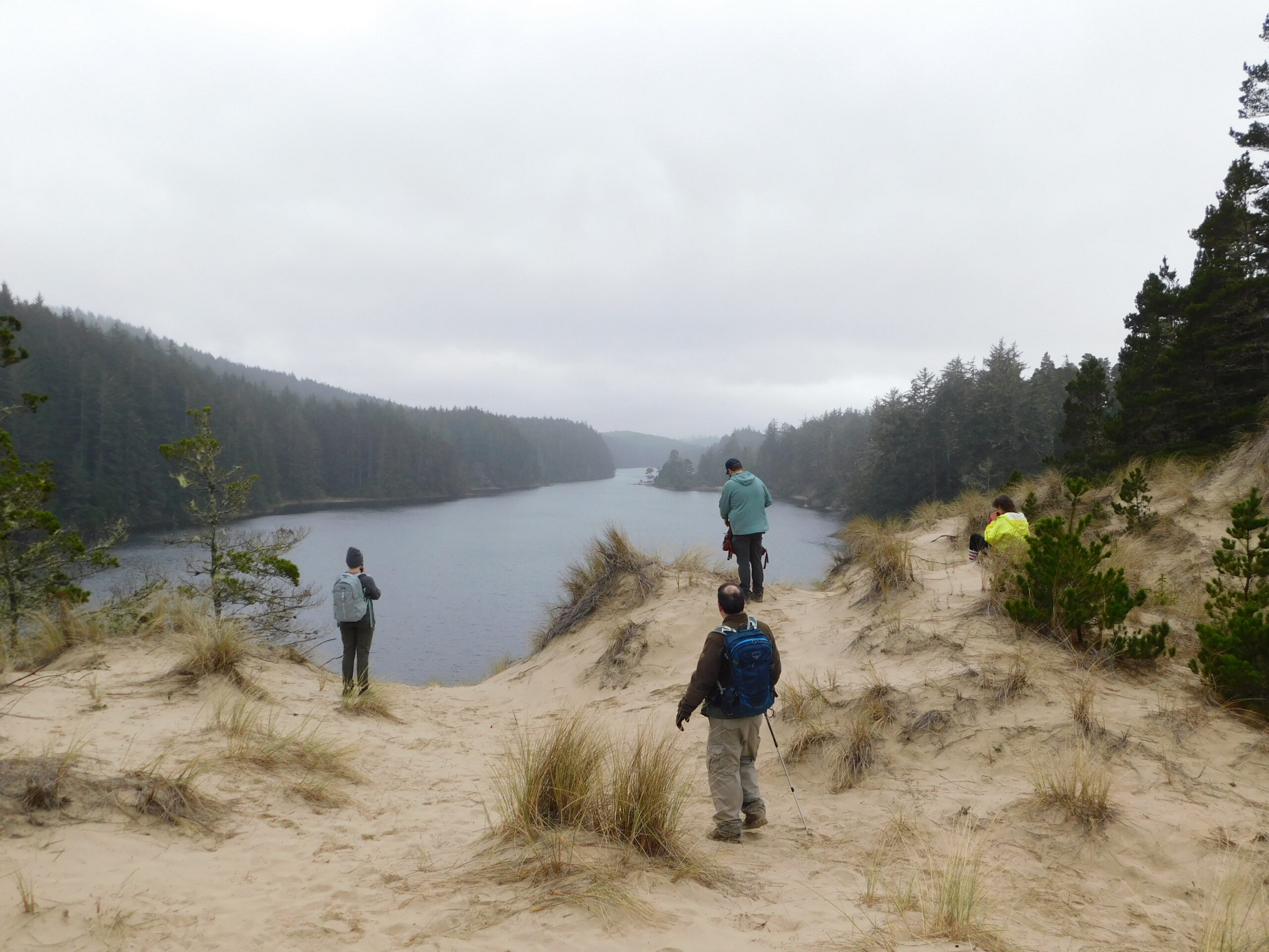
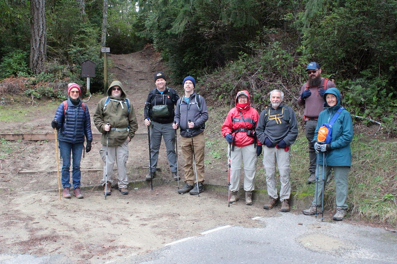
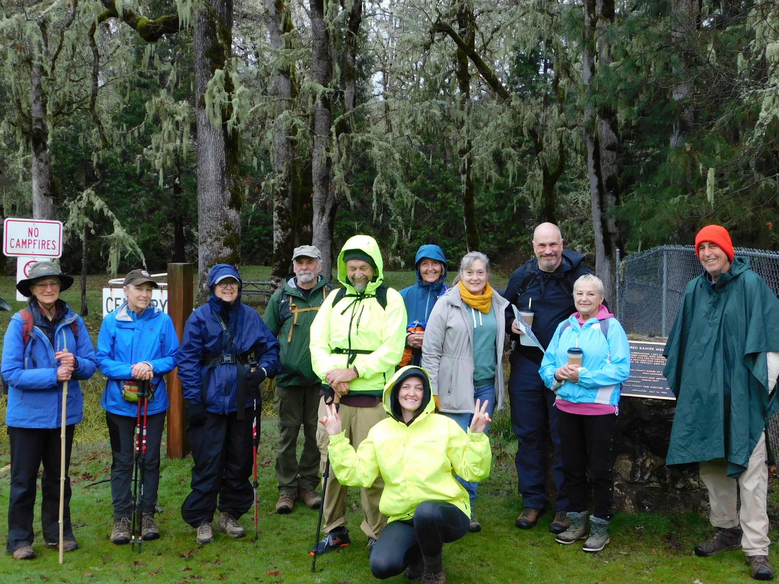
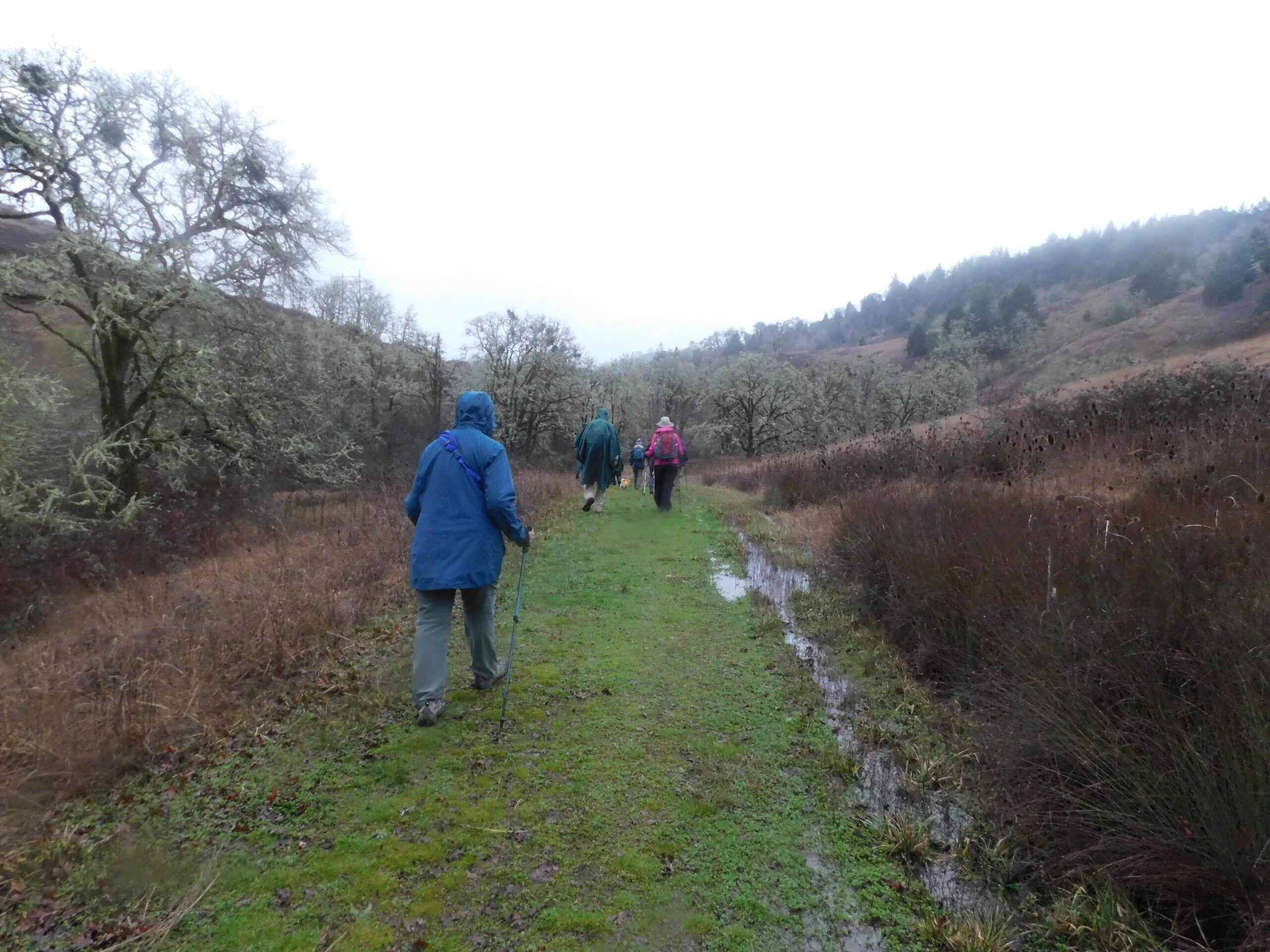
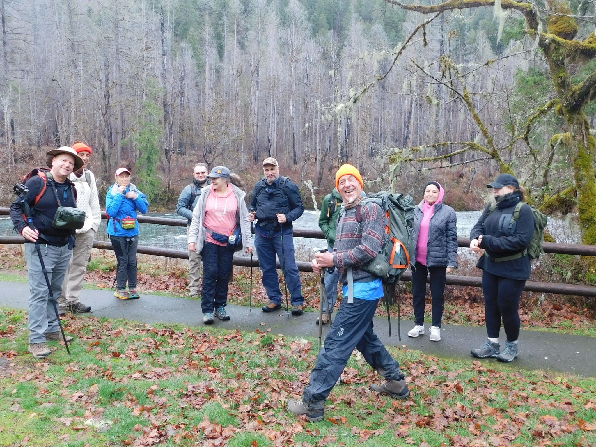
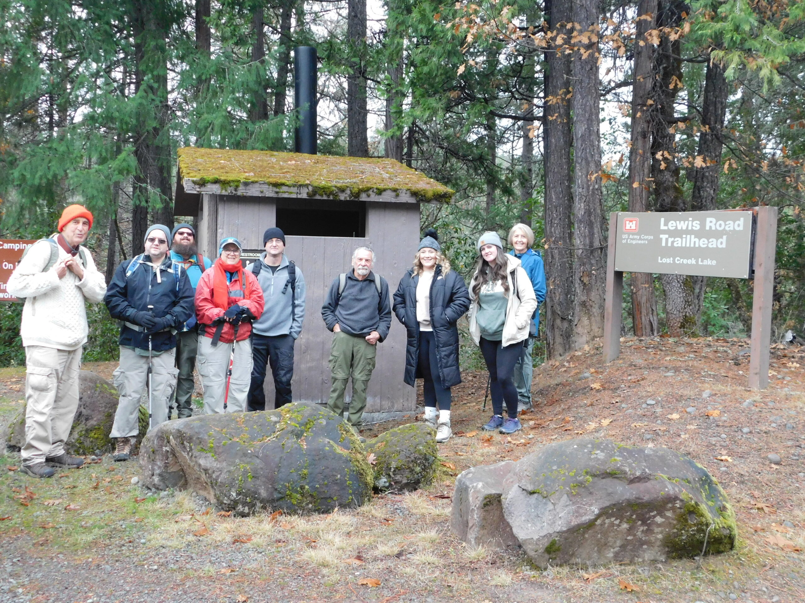
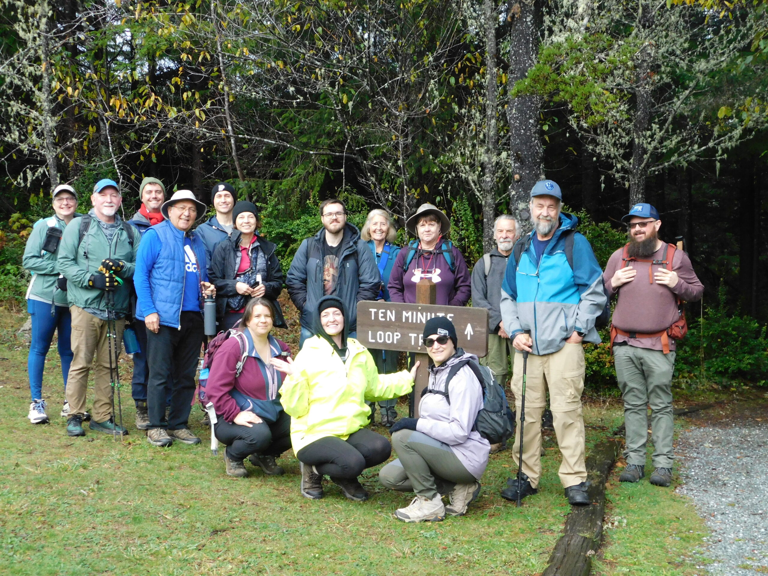
Hike Coordinator: Rheo Wheeler Narration by Rheo Wheeler This hike was changed so many times I wasn’t even sure where we were going. We ended up at Cooper Creek Reservoir a good 6 miler that gets your blood flowing and your lungs working. Rainy and cold, but that didn’t stop 4 of us and Finn ………….click here to read more.