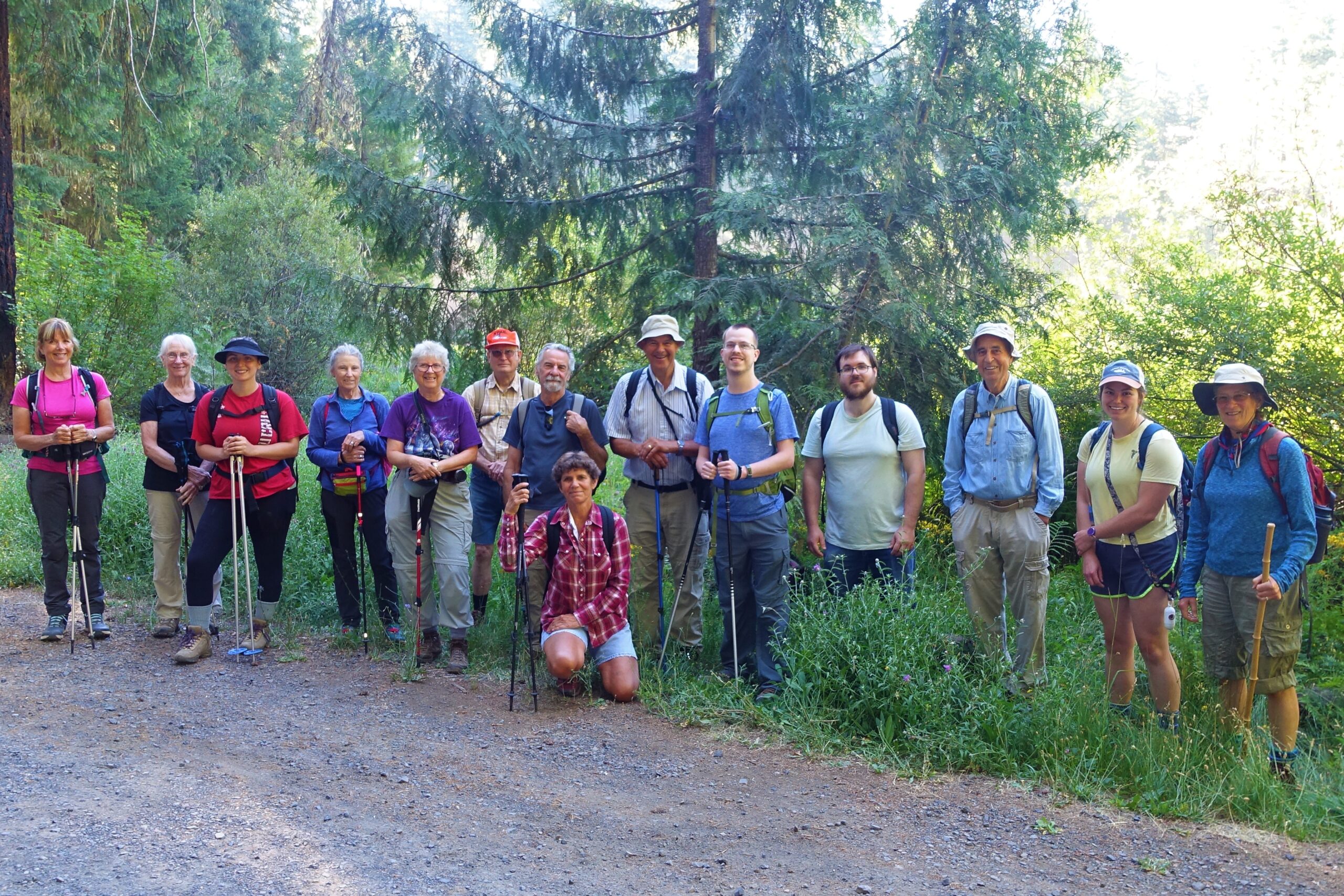
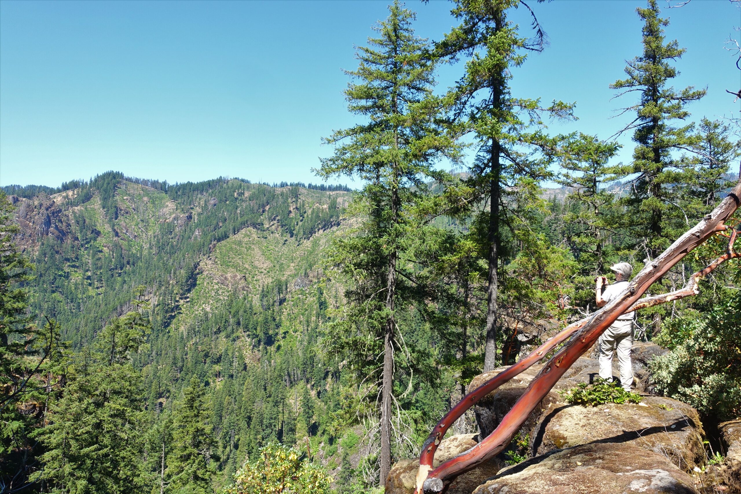
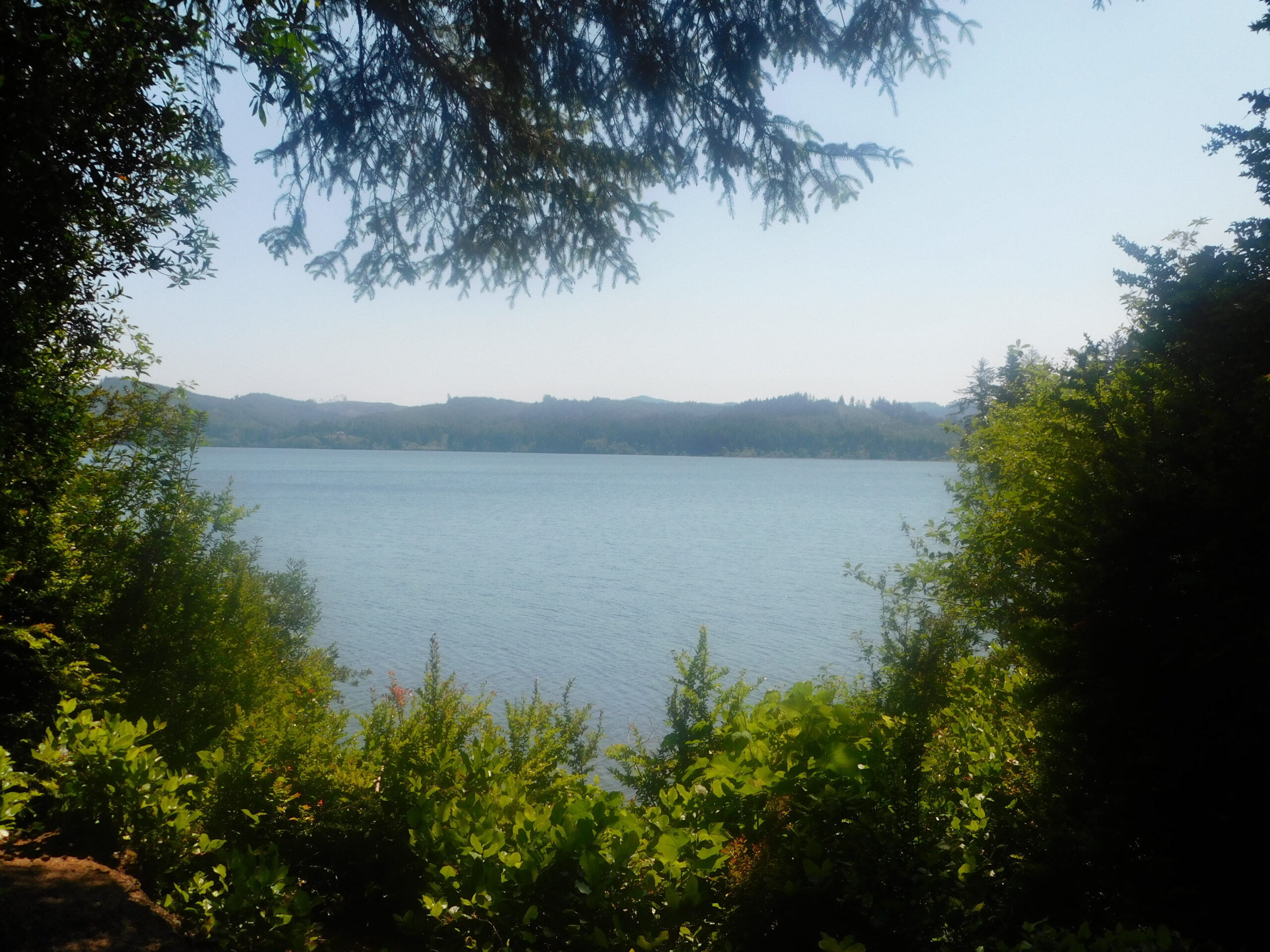
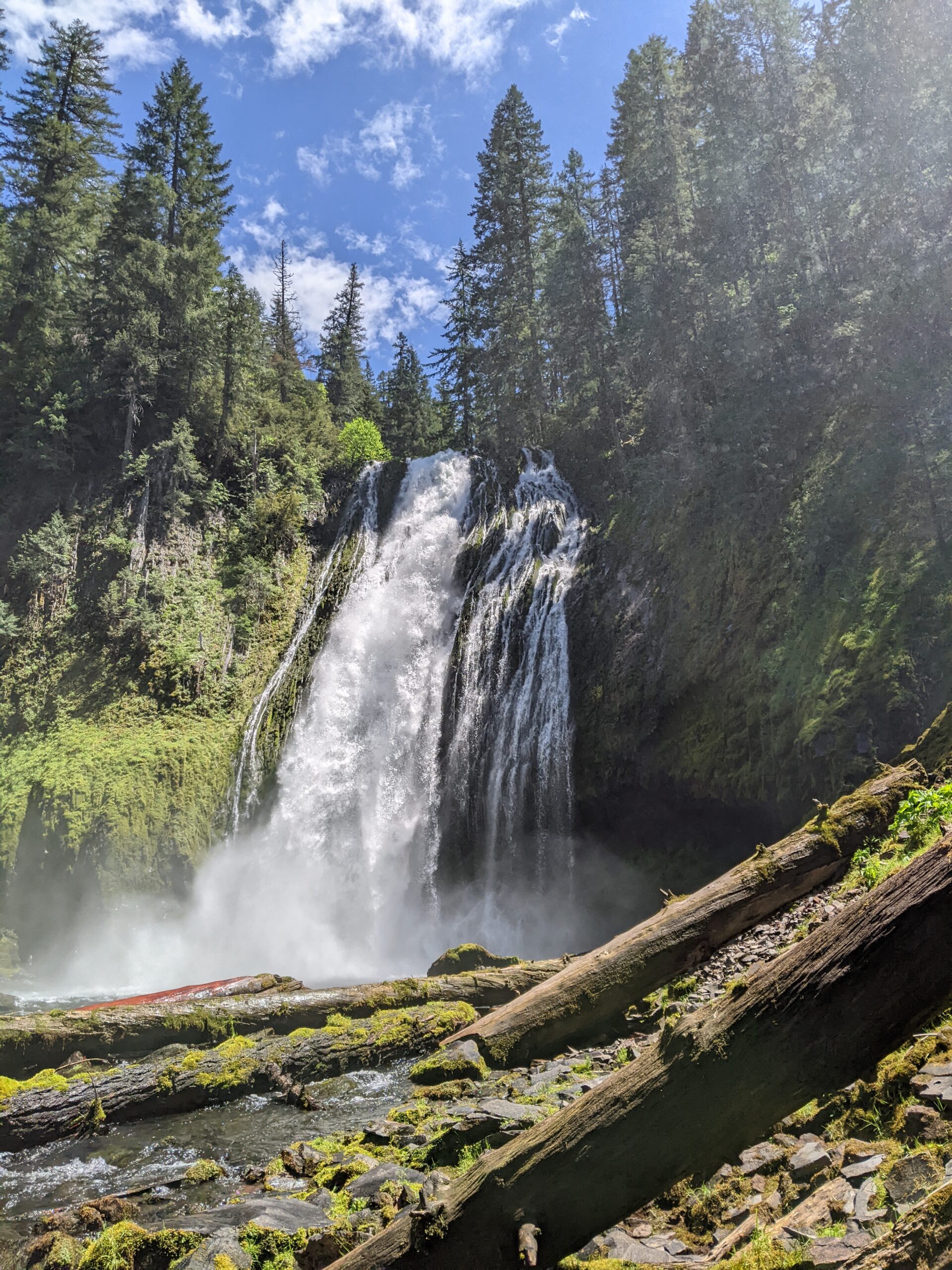
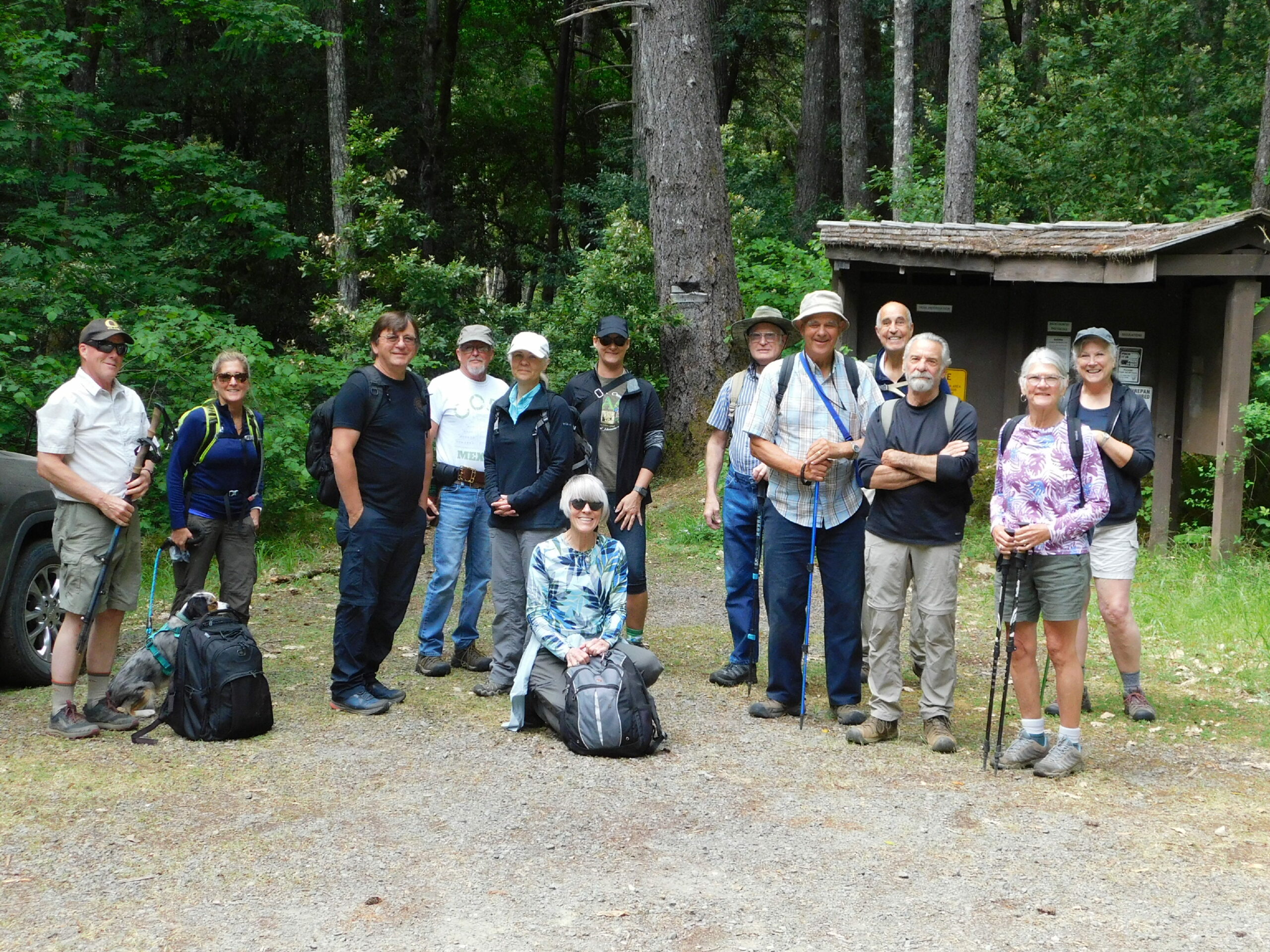
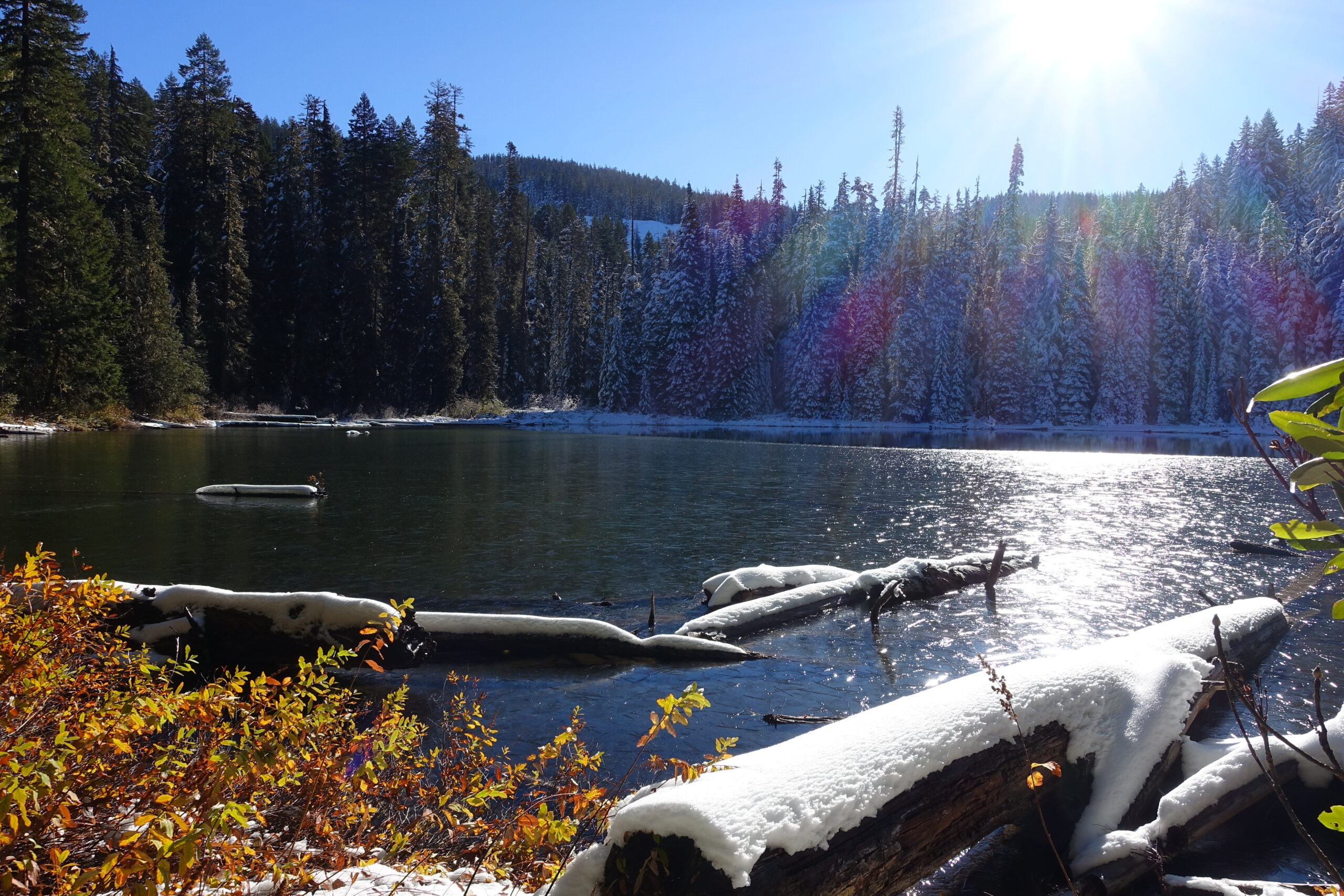
North Umpqua Trail: Hot Springs segment – October 30, 2021

Hike coordinator: Coreena Gosselin

Narration by Richard O’Neill, edited by Lane Harris

We had hoped this would be a repeat of last year’s superb autumn hike but alas, this was more like winter. It has been raining for the last several weeks and the rain drops have knocked a lot of the leaves down. But while there were little leaves on the trees, the trail and forest floor were covered with them.

Most of the group of ten hikers proceeded past Deer Creek bridge toward Columnar Falls, which is technically on the Dread and Terror section of the N.U.T., but only slightly when approaching from the west. This was the turnaround point of the hike.

The day was chill and rain fell for most of the hike and we all agreed it was a grand hike!

More pictures on Richard O’Neill’s Flickr page

Pictures below by Richard O’Neill (and one by Rheo Wheeler, Columnar Falls)

Cow Creek Trail – October 16, 2021

Hike Coordinator: Terry Andreucci

Narration by Terry Andreucci

We left the fog in Roseburg, heading south on I 5 toward Azalea and the trailhead. Beautiful Autumn colors were everywhere as we drove out Cow Creek Road. As we passed by Galesville Reservoir, everyone took notice of how low the water level was.

Upon arriving in partial sunshine, 9 hikers headed down the trail for a 7 mile out and back hike, taking in views of the beautiful old growth forest in the drainage of East Cow Creek.

This proved to be an eventful hike for a number of reasons. For one, the trail hasn’t experienced much recent use, and the vegetation has grown up along parts of the trail making for some damp pant legs. Additionally, a number of trees have fallen in the trail since last winter and walk arounds had to be used. And lastly, and most amusing of all, there were 3 creek crossings that required skillful rock hopping on slippery surfaces!

As we all returned to our rides, I was betting that there wasn’t a dry foot among us! All of this added to a wonderful fall day with fellow hikers, just enjoying Mother Nature.

Pictures below by Rheo Wheeler

Videos, pics, and stories of our 2021 Annual Club Campout Hikes

If you didn’t make this year’s campout, you missed out on some fantastic hikes!
What’s the next best thing?… Pictures, videos and stories of the hikes, of course!
Please enjoy the beauty of hiking by proxy without breaking a sweat by following the links below.
(You should really join us sometime…) 

CANYON CREEK MEADOWS – 7/22/21

Video – (633) Canyon Creek Meadows – Friends of the Umpqua Hiking Club – YouTube

Story- Richard’s Blog

Pics – Richard’ Flickr

Pics – Lane’s Flickr

TAM McARTHUR RIM – 7/23/21

Video – (633) Tam McArthur Rim – Friends of the Umpqua Hiking Club – YouTube

Story- Richard’s Blog

Pics – Richard’ Flickr

Pics – Lane’s Flickr

METOLIUS RIVER TRAIL – 7/24/21 

Video – (633) Metolius River – Friends of the Umpqua Hiking Club – YouTube

Story- Richard’s Blog

Pics – Richard’ Flickr

Pics – Lane’s Flickr

Rogue Gorge Loop – October 2, 2021

Hike Coordinator: Richard O’Neill

This hike was supposed to go to Cliff and Buckeye Lakes, located in the Rogue-Umpqua Divide Wilderness. But due to wildfire closing the road to Skimmerhorn Trailhead we opted to visit the Upper Rogue which had the fall colors thing going on and as an additional bonus, there were no wildfires in the area.

10 hikers set out on the trail and the first item of interest was Rogue Gorge, where the Rogue funnels into a narrow slot canyon that used to be a lava tube before the roof collapsed during some bygone millennia. Also at the Gorge viewpoint area is the Living Stump which is a stump whose roots melded with the roots of nearby trees and so manages to live despite showing no outward signs of life. It kind of reminded me of when I take Lane hiking with me! I vote his trail name should become Living Stump!

Once we began hiking downstream along the Rogue River, the fall colors became the reason for doing this hike. Every tint and hue that can be found on the warm end of the color spectrum was readily seen in the ample vegetation growing along the river, often all on one single leaf! Across the river and in the bright sunlight, the colors were so bright we had to wear sunglasses so as to prevent further retinal damage.

About halfway to Natural Bridge we switched river sides by walking over a bridge at  particularly scenic stretch of wild river seething in yet another collapsed lava tube. This allowed us to walk in the more brightly colored and more sunlit side even though it meant we had to hike on the only uphill section of trail.

At Natural Bridge, the Rogue disappears from sight while it travels a short distance underground in an uncollapsed lava tube, and reemerges about 100 feet downstream. The sight of the river bounding between boulders was awesome and we all stopped to gawk at the splendor of it all.

After lunch at Natural Bridge, it was a perfunctory 3.5 mile walk along the river. Because the afternoon sun was high in the sky, each side of the river was the sunny side now. Accordingly, we hiked in veritable rainbow of autumn-colored foliage on the way back.

The Upper Rogue, in my opinion, is the best fall hike in southern Oregon and we certainly all enjoyed this hike, it was a great show.

More pictures on Richard O’Neill’s Flickr page and Lane Harris’ Flickr page

Read about this hike on Richard O’Neill’s Blog

YouTube video

Pictures below by Richard O’Neill

Cooper Creek Reservoir – September 4, 2021

Hike Coordinator: Nancy Johnson

Narration by Nancy Johnson

Cooper Creek reservoir is always a great close hike and a great way to stay active. We had 8 brave souls, with 4 of them new faces on this very smoky day. Early morning wasn’t too bad regarding air quality, but it did catch up to us at the end.

John was adventurous leading 5 on the new trail after the upper boat ramp. This side of the trail still has not been completed , so they “bushwacked” up the hill to get on the road.  I kept to the road with 2 in tow.

It was a great day,  thank you to all that showed up. 

Pictures below by Nancy Johnson

Siltcoos Lake Trail – August 21, 2021

Hike Coordinator: Rheo Wheeler

Narration by Rheo Wheeler

We had five that traveled from Roseburg, meeting two who traveled north from camping at Eel Lake that took part in the Siltcoos Lake loop trail. The weather was perfect after rain showers passed through, although the trail was dry.

This trail is very shady with all the undulations of a typical Richard hike, uphill both ways. Wait this wasn’t a Richard hike though. Most of the boggy areas had dried out although there was still one creek running to the lake.

We had lunch with views of the lake before completing the loop. On the north end of the loop there were many stumps left from the 30’s where you could see the axe cuts from where they put the springboards in to use crosscut saws to take the trees down. These hallmarks from the old logging days are finally fading after 90 years.

A short 4.5 mile trail: Perfect for the old lady who picked it.

More pictures on Lane Harris’ Flickr page and Richard O’Neill’s Flickr page

Read about this hike on Richard O’Neill’s Blog

Pictures below by Rheo Wheeler, Richard O’Neill and Lane Harris

Bastendorff Bog Trail – January 14, 2017

Hike Coordinator – Richard O’Neill

I don’t want to get cocky by saying I dialed up a beautiful day because as soon as the weather gods find out I said that (and they will!), then I will never lead a hike in anything but rain, sleet, or snow. Southern Oregon had been pummeled by a series of icy and snowy storms and while the temperature was cold and the roads slippery with ice, it was a gloriously sunny day as we started hiking on Bastendorff Beach.

I sort of kept waiting for the Richard Hike factor to show itself but apart from having to splash across Miners Creek, there was an uncharacteristic lack of travails on this hike. At the end of Bastendorff Beach, we took a narrow path that climbed up to the forested bluffs overlooking the rugged and scenic Oregon coast.

Most of the hikers had never hiked this route so it was all new trail smell as we hiked to the end of Yoakam Point which sports a stunning overlook of Bastendorff Beach and Cape Arago Lighthouse. There are no official trails on this part of the coast so we followed a series of braided trails along the coast, enjoying the view to Gregory Point and Lighthouse Beach.

From Yoakam Point, a short walk along Cape Arago Highway took us to the well hidden Bastendorff Bog Trail. You’d never know the trail was there unless you know the trail was there, but the Bastendorff Bog Trail is used mostly by Oregon Coast Trail hikers looking to use the hiker camp at Sunset Bay. Despite its name, the trail is not boggy and and climbs up and over a small hill with thick coastal forest providing the scenery. 

At Sunset Bay, the club ate lunch and then split into two groups: those happy with a 7 mile hike returned back to Bastendorff Beach and those wanting a 10’ish mile hike continued on the coastal trail for a couple of miles. By the time we hit Yoakam Point, the shadows were getting long with the advent of late afternoon. Lane, Edwin, and I were the only takers on the scramble down the cliff to Bastendorff Beach and while some use of hands was required, there was nary a fall on the way down. A mile walk down the beach in the golden glow of the sinking sun capped off a superlative hike. We all stopped for Mexican food in Coquille, and that capped off a fine day for a hike.

Pictures by Richard O’Neill

Scroll Up