June 20 – October 24, 2026
Upcoming hikes at a glance…
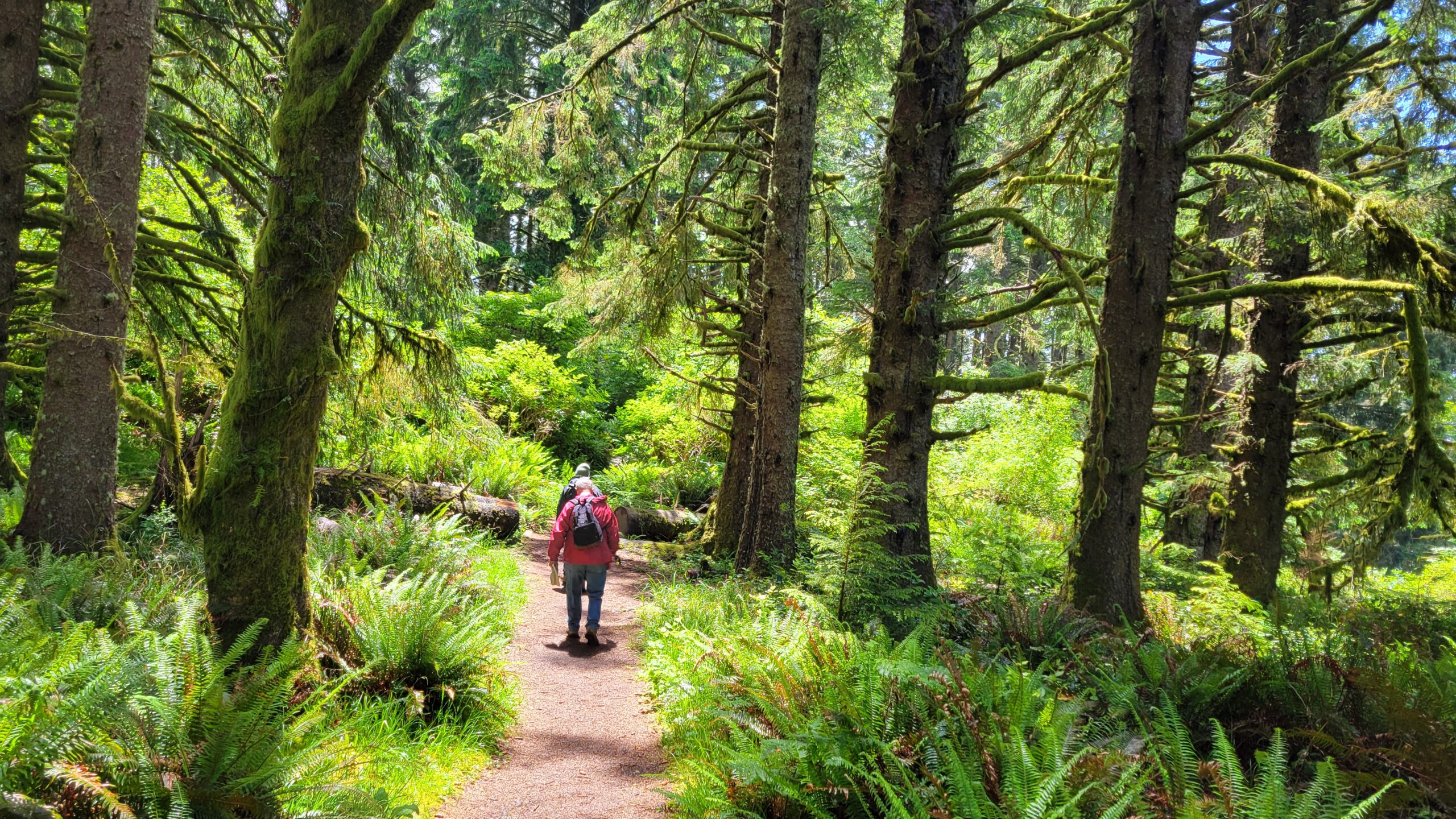
We hike every other Saturday!
6.20 Oregon Dunes (Florence)
7.4 Happy 4th of July! (No hike)
7.18 Twin Lakes (Steamboat)
8.1 Sawtooth Mountain (Lemolo Lake)
8.15 Cape Perpetua/Amanda’s Trail (Yachats)
8.29 Silent Creek (Diamond Lake)
9.12 Tipsoo Peak (Diamond Lake)
9.26 Goodman Creek (Dexter)
10.10 Spencer Butte (Eugene)
10.14 Hiking Planning Meeting (Roseburg)
10.24 Cow Creek Trail (Canyonville)

To view details of all upcoming hikes, go to our
Events page on Facebook.
You will find the most up-to-date information on our scheduled hikes there.
DETAILS OF UPCOMING HIKES…
June 20, 2026: Oregon Dunes (Florence)
Whatcha dune on June 20th? The correct answer is “hiking, of course!” More particularly, we’ll be hiking in the sandy environs of the Oregon Dunes, located between Reedsport and Florence.
Driving time: 2 hours, 30 minutes
Driving directions: https://maps.app.goo.gl/TsEj3pkvqSxymkpi8
Entry or parking fee: none
Hiking route: This will be a loop hike beginning from the Oregon Dunes Day Use Area parking lot.
Difficulty level: Moderate
Distance: 4.8 miles for the basic loop. Enterprising hikers can add a beach walk to Tahkenitch Creek, making for a 6.8 mile hike.
Elevation gain: 100 feet
Pluses: This hike hits all the Oregon Dunes highlights: coastal forest, a beach hike, Tahkenitch Creek, and of course, the dunes themselves.
Minuses: Hiking in sand for 6.8 miles feels like 9 miles!
For more information call or text Rachelle at 541-547-4742.
July 18, 2026: Twin Lakes (Steamboat)
Details: Twin Lakes are a pair (duh!) of mountain lakes sited below their namesake Twin Lakes Mountain. Just one mountain, though. At any rate, we will visit these two scenic lakes and one mountain.
Driving Directions: https://maps.app.goo.gl/XNRc7jC7pA2MDYmL7
Driving time: 1 hour, 45 minutes
Difficulty level: Easy to the lakes, moderate to the viewpoint.
Route: We’ll visit the lakes first and then it’ll be up to the overlook of the two lakes.
Distance: 3.2 miles around Twin Lakes, 5.4 to both lakes and overlook.
Elevation gain: 400 fet to the lakes, 850 to the overlook.
Pluses: Two lakes, and an epic clifftop view. If the day is clear you can see the Cascades all the way to Diamond Peak.
Minuses: Can’t really think of any. Maybe too much of a good thing?
For more information call or text Dianne at 541-530-1938.
August 1, 2026: Sawtooth Mountain (Lemolo Lake)
Details TBA
August 15, 2026: Cape Perpetua (Yachats)
NOTE: This hike was previously scheduled to happen back in April, but due to bad weather, we decided to move it to the middle of summer.
Back in the day, March 7, 1778 to be exact, Captain James Cook laid eyes on a prominent cape and named it after Saint Perpetua. Ms. Perpetua was canonized by sticking to her faith despite being sentenced to death by mad cow. Come join us as we do our own little voyage of discovery at Cape Perpetua, although no irritable bovines will be involved, thank goodness.
Driving time: 2 hours, 35 minutes
Driving directions: https://maps.app.goo.gl/Sv576WmKXJt9RKJu7
Entry or parking fee: none
Difficulty level: Easy (from Amanda’s Trail) or moderate (from the cape’s summit to the ocean shore and back)
Distance: 2.1 miles to Cape Perpetua’s summit via Amanda’s Trail; 6.5 miles up and over Cape Perpetua to the rocky ocean shore.
Elevation gain: 200 feet (from the Amanda Statue), 700 feet if hiking the out-and-back route to the shoreline.
Pluses: The view from the top of Cape Perpetua is epic. The churns and iconic Thor’s Well are worthy destinations for the longer hike.
Minuses: It is one of our longer drives to a hike. It is the Oregon coast so wet weather can make an appearance.
For more information call or text Missy at 530-927-9572.
August 29, 2026: Silent Creek (Diamond Lake)
Details TBA
September 12, 2026: Tipsoo Peak (Diamond Lake)
Details TBA
September 26, 2026: Goodman Creek (Dexter)
Details TBA
October 10, 2026: Spencer Butte (Eugene)
Details TBA
October 14, 2026: Hike Planning Meeting (Roseburg)
Location: Douglas County Courthouse, Room 310 (Enter courthouse from main front entrance)
Time: 5:30pm
Greetings! Come one, come all, to our quarterly planning meeting. Bring yourselves, your good cheer, and your ideas for where we should hike next. Or better yet, volunteer to lead a hike! If you’ve never led a hike for us, don’t worry, we will show you the ropes.
Contact Rheo at (541) 643-0727 if you have any questions. Also, sometimes the night crew at the Courthouse locks the door so if you find yourself locked out, call Rheo and she’ll let you in if you ask nicely.
October 24, 2026: Cow Creek Trail (Canyonville)
Details TBA
Difficulty Levels:

TOTAL ELEVATION GAIN: The total accumulation of elevation you climb (gain) throughout the course of a hike.
Example: If you climb 1000 ft, then descend 500 ft, then climb 300 ft, your total elevation gain is 1,300 ft. (Your descent, or loss, does not matter. Only the gain is counted)
Information on our hikes
General - Hikes occur year-round on every other Saturday. The general public is welcome.

Meet – The group meets before 8 am in the Douglas County Courthouse parking lot behind the Roseburg Public Library just off of Fowler Street. In general, most hikes take an hour to an hour and a half driving time each direction.

Alternate arrangements – Hikers who wish to meet the group at the hike destination or would like a ride and/or meet up at a different location enroute to the hiking destination should contact the hike coordinator in advance to coordinate these types of arrangements. The hike coordinator will determine the reasonability of each request and if it can be conveniently accommodated.

Pet Policy: We welcome well-behaved pets and expect owners to have full control over their pets at all times. As long as the area we are hiking in allows dogs, you are welcome to bring your friendly trail companion. Please be respectful of other hikers and clean up after your pet.

Bring – Each person should bring water, lunch, layers of clothing including raingear. If you wish to carpool, then please come prepared to share gas expenses. Driving time to trailheads and hike length are estimates only.

The hikes – Hikes are rated on a difficulty level of easy, moderate and difficult. The levels are determined by the length, altitude change, steepness, terrain, etc. Lengths of scheduled hikes are generally between 4 and 8 miles but can be longer. Options for shorter hikes and/or easier routes are nearly always available. Hikers of all levels are welcome to join us on hikes.

Be Prepared – Wear seasoned boots. Stay with the group and on the trail. If lost, stay put. Each hiker hikes at his or her own risk and is responsible for his or her own health, safety and welfare. Hiking destinations may be changed due to weather conditions or other concerns.

The hike coordinator will have you sign a Sign in Waiver to participate.

Hikes are submitted to the News Review for publication. A schedule is also listed on this website and is posted on the club's Facebook page.

Hike destinations are subject to change at the hike coordinator's discretion due to weather conditions, etc.
For more information, see our Hike Guidelines