June 21 – September 27, 2025
Upcoming hikes at a glance…
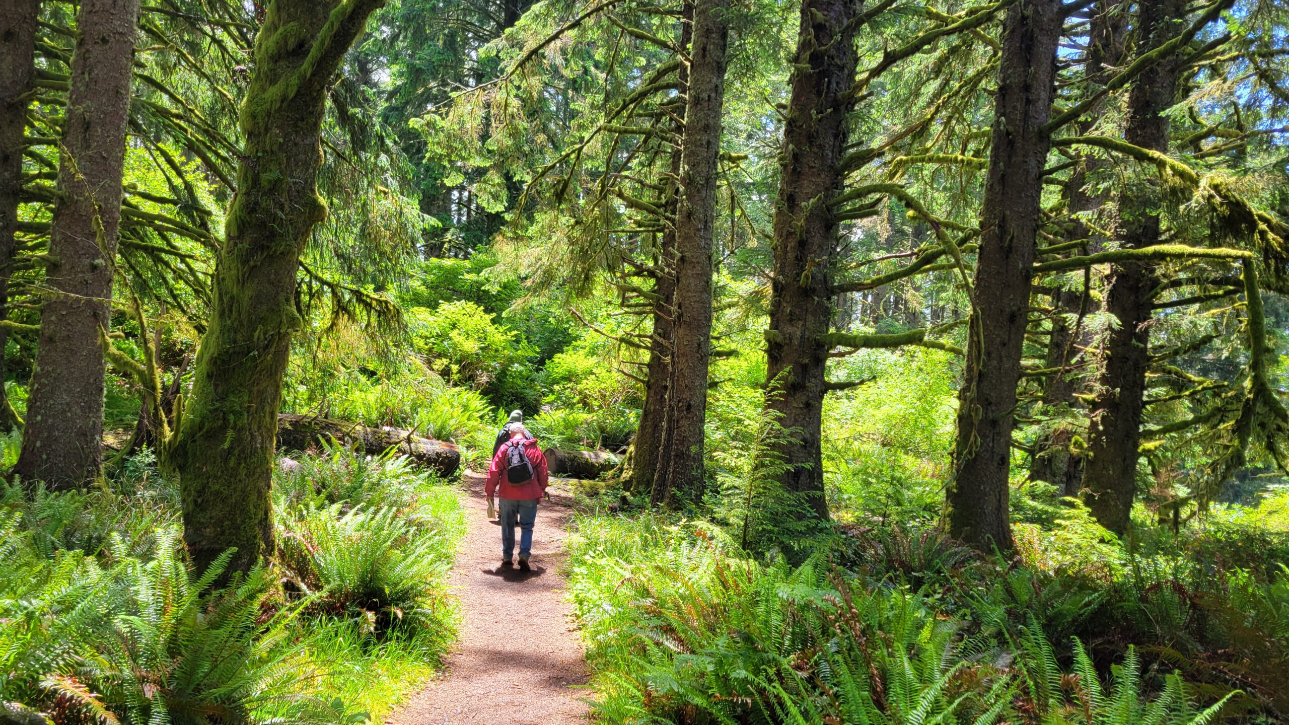
We hike every other Saturday!
6.21 Dellenback Dunes (Reedsport)
7.5 Union Creek Trail (Union Creek)
7.19 Rocky Ridge (Rogue-Umpqua Divide Wilderness)
8.2 Cowhorn Mtn (Lemolo Lake)
8.16 Nip and Tuck Lakes (Lemolo Lake)
8.30 Tipsoo Peak (Diamond Lake)
9.13 Hobbit Trail (Florence)
9.27 Mt June (Dexter)
Names in (parentheses) indicates nearby area
To view details of all upcoming hikes, go to our
Events page on Facebook.
You will find the most up-to-date information on our scheduled hikes there.
Difficulty Levels:

TOTAL ELEVATION GAIN: The total accumulation of elevation you climb (gain) throughout the course of a hike.
Example: If you climb 1000 ft, then descend 500 ft, then climb 300 ft, your total elevation gain is 1,300 ft. (Your descent, or loss, does not matter. Only the gain is counted)
UPCOMING HIKES…
June 21, 2025: Dellenback Dunes (Reedsport)
Come hike with us on the otherworldly landscapes of Dellenback Dunes! All the sand you could ever want to look at or walk through, making Dellenback Dunes as unique a hiking experience as one can find in Oregon.
Driving time: 1 hour, 45 minutes
Driving directions: https://goo.gl/maps/2P4k2fjfozUkiGLQ6
Entry or parking fee: $5 or free with pass
Hiking route: Yet to be determined, subject to the whims, moods, and caprices of hike leader John.
Difficulty level: Moderate
Distance: 6 to 8 miles
Elevation gain: 250 feet
Pluses: The amazing dune scenery at Dellenback Dunes nearly defy description, although Frank Herbert managed to write an entire novel (Dune) after a visit to the Oregon Dunes.
Minuses: Sand, sand, and more sand can make you painfully aware of muscles you didn’t even know you had.
For more information call (don’t text) John at 541-673-1973.
July 5, 2025: Union Creek Trail (Union Creek)
Details: With ears still ringing from the 4th of July fireworks, we will engage in a much more tranquil venture with a mostly level hike along peaceful and serene Union Creek.
Driving time: 2 hours, 25 minutes
Driving directions: https://maps.app.goo.gl/7vRD9ktAxP7k28iB7
Entry or parking fee: none
Hiking route: This hike is an out-and-back on the Union Creek Trail, beginning at the trailhead behind the Union Creek Store. We’ll turn around at Union Creek Falls
Difficulty level: Moderate
Distance: 8.2 miles
Elevation gain: 330 feet
Pluses: Lush and leafy forest, a picturesque waterfall, and Union Creek all hike long. And speaking of hikes, this one is mostly level, a rarity for us.
Minuses: The mosquitoes will be happy to see us. The feeling is not mutual.
For more information call or text Rheo at 541-643-0727
July 19, 2025: Rocky Ridge (Rogue-Umpqua Divide Wilderness)
Arguably the most spectacular hike in the Rogue-Umpqua Divide Wilderness, the Rocky Ridge Trail takes us to yes, you guessed it: a rocky ridge! That aforementioned rocky ridge rewards hikers with a spectacular overlook of Fish Lake and the surrounding mountains and peaks.
Driving time: 3 hours, 25 minutes
Driving directions: https://maps.app.goo.gl/wJeHqSgs6v1YgQCR7
Entry or parking fee: none
Route: This is an out and back hike from the Rocky Ridge Shelter Trailhead to the Fish Lake overlook at Standoff Point and back.
Distance: 6 miles
Elevation gain: 950 feet
Difficulty level: Moderately strenuous.
Pluses: It’s virtually all downhill from the trailhead. The view down to Fish Lake is absolutely stunning. Rock gardens on the ridge may still be abloom.
Minuses: It’s all uphill to the trailhead. The trail is narrow and exposed at the overlook. It’s not that far from Roseburg but it does take over 3 hours to drive there.
For more information call or text Penny at 541-643-6413.
August 2, 2025: Cowhorn Mountain (Lemolo Lake)
Cowhorn Mountain used to sport a distinctive “cowhorn” that gave rise to its name. However, in the early 1900s, a severe winter storm and like angry freeway drivers the world over, leaned on the horn. As a result, the peak was lowered to its current height of 7,864 feet. On the plus side, it’s a lot easier to summit Cowhorn Mountain than it used to be!
Driving time: 2 hours, 15 minutes
Driving directions: https://maps.app.goo.gl/AKwVLWU9W9cZeiDc9
Entry or parking fee: none
Hiking route: This will be an out and back on the Pacific Crest Trail
Distance: 9.4 miles
Elevation gain: 1900 feet
Difficulty level: Strenuous
Pluses: The view from Cowhorn Mountain is amazing, you can see peaks near and far, and lakes big and small dot the forested terrain surrounding the mountain.
Minuses: There is a little bit of a scramble to reach the summit.
For more information call (don’t text) John at 541-673-1973.
August 16, 2025: Nip and Tuck Lakes (Lemolo Lake)
From the top of Cowhorn Mountain (the previous hike on our schedule), one can see that the forested landscape is dotted with small lakes. Curiosity aroused, we decided to hike to a couple of them, Nip and Tuck Lakes, specifically. We’re not sure why a couple of lakes were named after a minor cosmetic surgical procedure, but it’ll give us something to talk about on the hike.
Driving time: 2 hours, 15 minutes
Driving directions: https://maps.app.goo.gl/JjHjgWW5efbVWxyk8
Entry or parking fee: none
Map: https://www.mapmywalk.com/routes/view/5104027981
Difficulty level: Moderate
Distance: 5.8 miles
Elevation gain: 350 feet
Pluses: Two alpine lakes surrounded by forest.
Minuses: All those lakes support a healthy population of mosquitoes
For more information call or text Richard at 541-643-3550.
August 30, 2025: Tipsoo Peak (Diamond Lake)
Details: Tipsoo Peak is probably the easiest 8,000 foot peak that you’ll ever summit. No mountaineering equipment is necessary, it’s a simple walk up to the top of the red volcanic cone, Expansive views of Tipsoo Peak’s nearest mountain friends is your reward.
Driving Directions: https://maps.app.goo.gl/ZBgSPNUhXZG4SowF6
Driving time: 2 hours, 5 minutes
Route: This hike is an out-and-back on the Tipsoo Peak Trail
Distance: 6.2 miles
Elevation gain: 1784 feet
Difficulty level: Moderately strenuous
Pluses: The views of the surrounding Cascade Mountain Range and several large lakes.
Minuses: It is an uphill hike to the summit. Mosquitoes may make their annoying little presence known,
For more information call or text Penny at. 541-643-6413.
September 13, 2025: Hobbit Trail (Florence)
Details TBA
September 27, 2025: Mt. June (Dexter)
Details TBA
October 11, 2025: Twin Lakes (Glide)
Details TBA
Information on our hikes
General - Hikes occur year-round on every other Saturday. The general public is welcome.

Meet – The group meets before 8 am in the Douglas County Courthouse parking lot behind the Roseburg Public Library just off of Fowler Street. In general, most hikes take an hour to an hour and a half driving time each direction.

Alternate arrangements – Hikers who wish to meet the group at the hike destination or would like a ride and/or meet up at a different location enroute to the hiking destination should contact the hike coordinator in advance to coordinate these types of arrangements. The hike coordinator will determine the reasonability of each request and if it can be conveniently accommodated.

Pet Policy: We welcome well-behaved pets and expect owners to have full control over their pets at all times. As long as the area we are hiking in allows dogs, you are welcome to bring your friendly trail companion. Please be respectful of other hikers and clean up after your pet.

Bring – Each person should bring water, lunch, layers of clothing including raingear. If you wish to carpool, then please come prepared to share gas expenses. Driving time to trailheads and hike length are estimates only.

The hikes – Hikes are rated on a difficulty level of easy, moderate and difficult. The levels are determined by the length, altitude change, steepness, terrain, etc. Lengths of scheduled hikes are generally between 4 and 8 miles but can be longer. Options for shorter hikes and/or easier routes are nearly always available. Hikers of all levels are welcome to join us on hikes.

Be Prepared – Wear seasoned boots. Stay with the group and on the trail. If lost, stay put. Each hiker hikes at his or her own risk and is responsible for his or her own health, safety and welfare. Hiking destinations may be changed due to weather conditions or other concerns.

The hike coordinator will have you sign a Sign in Waiver to participate.

Hikes are submitted to the News Review for publication. A schedule is also listed on this website and is posted on the club's Facebook page.

Hike destinations are subject to change at the hike coordinator's discretion due to weather conditions, etc.
For more information, see our Hike Guidelines