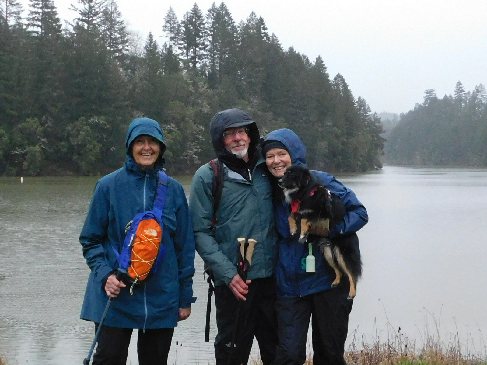
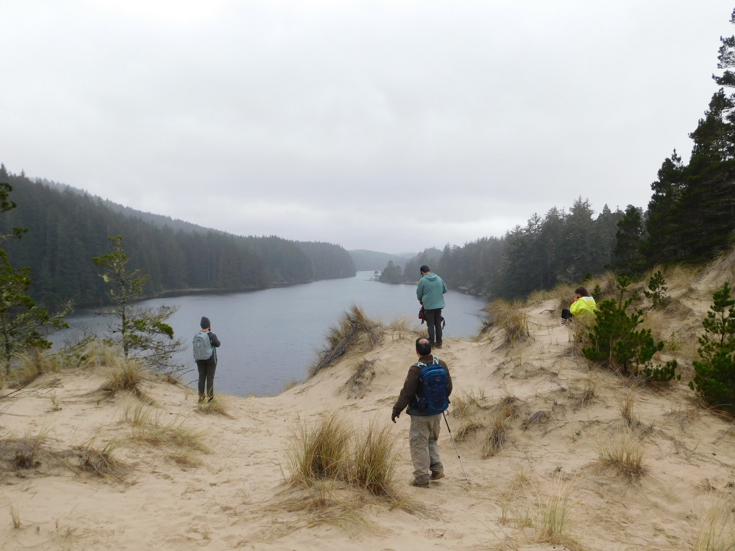
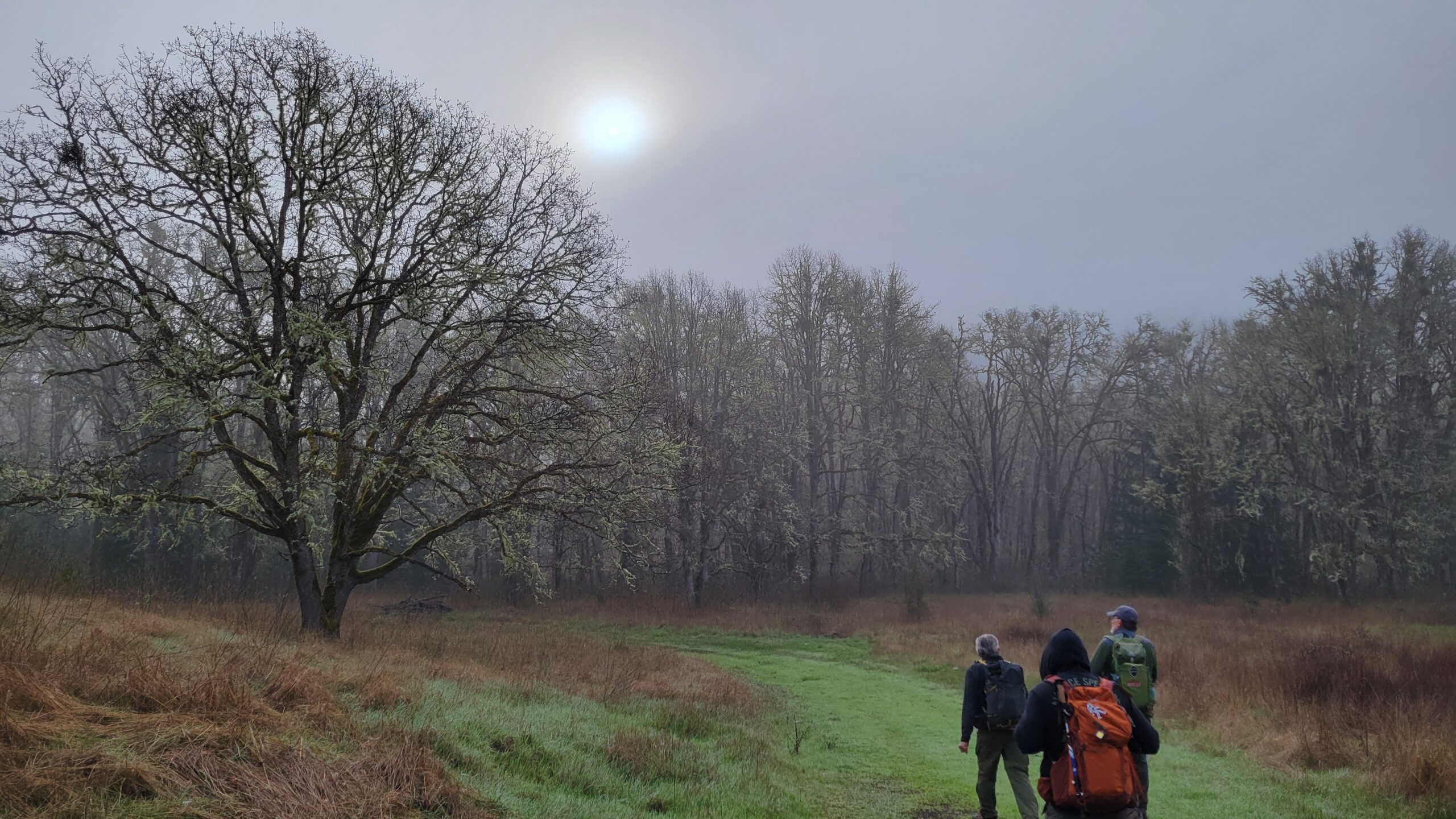
North Bank Habitat – March 29, 2025

Hike Coordinator: Terry Andreucci

Narration by Lane Harris

We had a pretty good turnout on this hike to North Bank, which was the backup plan to the canceled Rogue River trail hike. That hike would have to wait another day once they clear the landslide that occurred just a half mile in. So, to match the difficulty level of the Rogue River trail, Terry decided North Bank would fit the bill. Ya, we’re just kidding here. Whereas the Rogue River trail gently meanders along the river, North Bank dramatically climbs higher and higher as it tests even the iron legs of fit hikers. No, not an even trade, I have to say!

I can’t help but think the route that Terry chose this day was purposefully selected to lull us hikers into a sense of comfort and ease. From the west trailhead, we started out on a level path towards the Chasm Creek Trail. The first few miles were but a gentle stroll, as we made good time cutting through the morning fog. But the trail soon turned sadistic, as it began a short but steep ascent towards the middle ridge trail. This stretch of the trail, although just less than a mile, will make you consider taking up a different hobby. You know, like one that is much friendlier on the cardiac and respiratory system… Stamp and coin collecting sounds pretty good right now!

After catching our breath at the intersection of ‘punishment path’ and middle ridge, we discussed the options of either going further uphill to the boundary ridge trail or downhill to the picnic table. Easy choice here, folks. So down we went. Well, sorta. There was just one more small hill to climb from the saddle which we were at before it actually headed downhill for real. Which proves the old adage us hikers always recite when talking about North Bank, which is “Every trail at North Bank goes up”. It apparently holds true here even when you’re going downhill.

We had a well-deserved lunch break at the picnic table as we admired the views of the valley below. The rolling green hills were now gleaming in the sunlight, as the clouds began to give way to blue skies. Lofty views like this are the reason we sometimes endure torturous treks up steep trails. It may not be easy, but we feel the challenge is worth the payoff.

Knowing it was literally all downhill from here, we joyfully set off down the middle ridge trail, eventually connecting with the Blacktail Ridge trail and back to the parking lot. North Bank is one of those few places where, as you walk downhill, can still embrace the incredible scenery for miles. That is, unless you hike here on a real foggy day. Been there, done that. It’s not that incredible. Thankfully, today was not like that and we were able to enjoy all that North Bank had to offer.

Pictures below by Lane Harris

Starting from the west trailhead
The flat path toward Chasm Creek
An eerie glow illuminates the way up Chasm Creek
Blue sky above the fog
John casually heads up the steep Chasm Creek Trail
Sunlight filters through the trees
View toward the north boundary ridge
Valley views
Just another day on North Bank
Abandoned alien craft?…
Blacktail Ridge Trail

Cooper Creek Reservoir – March 15, 2025

Hike Coordinator: Rheo Wheeler

Narration by Rheo Wheeler

This hike was changed so many times I wasn’t even sure where we were going. We ended up at Cooper Creek Reservoir a good 6 miler that gets your blood flowing and your lungs working. Rainy and cold, but that didn’t stop 4 of us and Finn (the dog) from feeling better about ourselves and braving the elements. This is a pretty straightforward loop around the reservoir with enough ups and downs to make it worthwhile. All of you missed a good outdoor experience!

Tahkenitch Dunes – March 1, 2025

Hike Coordinator: John Malone

Narration by Rheo Wheeler

We had a good turnout for our forest/beach hike with rain on the horizon. Fourteen in all with one coastal friend meeting us at the parking lot. We did this hike in reverse from the way I had always done it in the past, and saw a new and better perspective. We traveled up and through the coastal woods, being spit out on the sand with a trail somewhat following Tahkenitch creek to the ocean. Erosion has made the beach landing more of a scramble and slide, but the aid of a helpfully placed rope made the 8ish foot drop to the sands a bit easier.

Normally this then becomes a leisurely stroll down the beach to our next trail, but with an angry high tide (thankfully not quite all the way in) it was a stroll, punctuated with mad dashes for life to escape the incoming angry waves. Two of us got overtaken and got pretty wet, and one coat was lost in the mad dashing about, but all survived. Then it was back through the deflation plain and up to the Threemile lake overlook for lunch. First arrivals were treated to a bald eagle flyover, but it did not linger for photos.

After lunch it was back on a beautiful wooded trail to continue our loop back to the beginning of our adventure. It seemed like a lot of uphill hiking, but this was not a sandy trail so the going was somewhat easier. Total mileage was around 6-7 miles but we get more credit due to the uphill and soft sand. And no rain either, the weather gods were with us once again.

Scroll Up